File:Maparegional2.png
No higher resolution available.
Maparegional2.png (258 × 367 pixels, file size: 9 KB, MIME type: image/png)
Captions
Captions
Add a one-line explanation of what this file represents

|
This file has been superseded by Map of the Political Regions of Peru (1989-1991).png. It is recommended to use the other file. Please note that deleting superseded images requires consent. Reason to use the other file: "Better colors and better naming."
|
.png)
|
Summary
edit
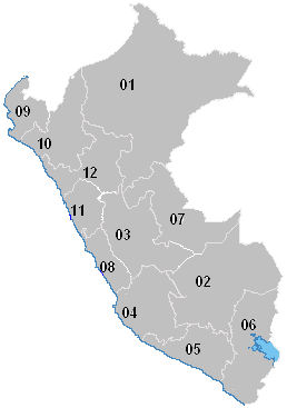
Mapa regionl del Perú
Licensing
edit
I, the copyright holder of this work, hereby publish it under the following licenses:

|
Permission is granted to copy, distribute and/or modify this document under the terms of the GNU Free Documentation License, Version 1.2 or any later version published by the Free Software Foundation; with no Invariant Sections, no Front-Cover Texts, and no Back-Cover Texts. A copy of the license is included in the section entitled GNU Free Documentation License. |
| This file is licensed under the Creative Commons Attribution-Share Alike 3.0 Unported license. | ||
| ||
| This licensing tag was added to this file as part of the GFDL licensing update. |
You may select the license of your choice.
File history
Click on a date/time to view the file as it appeared at that time.
| Date/Time | Thumbnail | Dimensions | User | Comment | |
|---|---|---|---|---|---|
| current | 15:19, 28 July 2006 | | 258 × 367 (9 KB) | Huhsunqu (talk | contribs) | Recuperar una revisión anterior |
| 22:08, 17 April 2006 |  | 258 × 367 (8 KB) | Huhsunqu (talk | contribs) | ||
| 16:24, 17 April 2006 |  | 258 × 367 (9 KB) | Canceriano (talk | contribs) | Mapa regionla del Perú |
You cannot overwrite this file.
File usage on Commons
There are no pages that use this file.