File:Mapo Nederlando-10-10-10.png
No higher resolution available.
Mapo_Nederlando-10-10-10.png (330 × 355 pixels, file size: 21 KB, MIME type: image/png)
Captions
Captions
Add a one-line explanation of what this file represents
Summary edit
| Description |
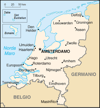
Nederlands: update naar aanleiding van de staatkundige hervormingen binnen het Koninkrijk der Nederlanden van oude kaart van Nederland, afkomstig uit het CIA World Factbook en vertaald door tzzzpfff |
| Date | 29-1-2007 (original) |
| Source | Transferred from eo.wikipedia to Commons. |
| Author | CIA World Factbook |
Licensing edit
This image is in the public domain because it contains materials that originally came from the United States Central Intelligence Agency's World Factbook.
|
 |
File history
Click on a date/time to view the file as it appeared at that time.
| Date/Time | Thumbnail | Dimensions | User | Comment | |
|---|---|---|---|---|---|
| current | 18:23, 15 June 2011 | | 330 × 355 (21 KB) | LennartBolks~commonswiki (talk | contribs) |
You cannot overwrite this file.
File usage on Commons
The following page uses this file: