File:Marone - panoramio.jpg

Size of this preview: 800 × 475 pixels. Other resolutions: 320 × 190 pixels | 640 × 380 pixels | 1,024 × 608 pixels | 1,280 × 760 pixels | 2,048 × 1,216 pixels.
Original file (2,048 × 1,216 pixels, file size: 926 KB, MIME type: image/jpeg)
Captions
Captions
Add a one-line explanation of what this file represents
Summary
edit
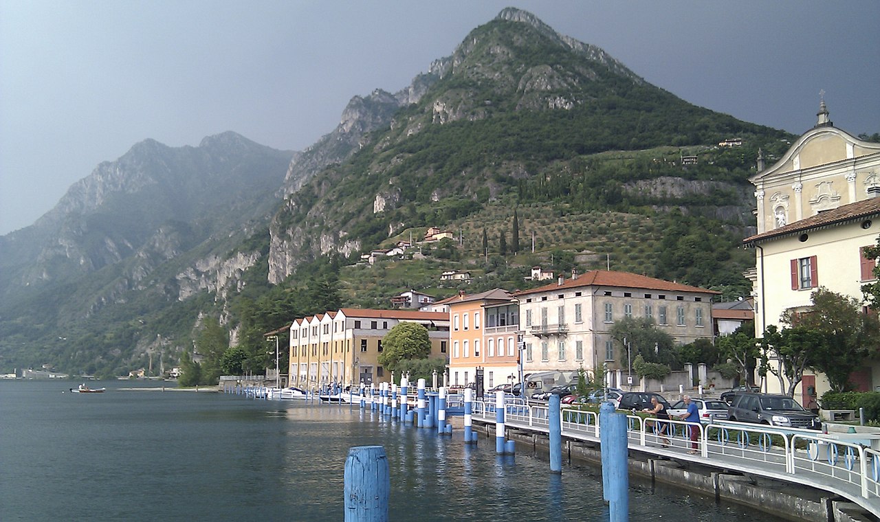
| Description | Marone | ||
| Date | Taken on 25 June 2010 | ||
| Source | https://web.archive.org/web/20161014234917/http://www.panoramio.com/photo/37184598 | ||
| Author | framic_bs | ||
| Permission (Reusing this file) |
This file is licensed under the Creative Commons Attribution-Share Alike 3.0 Unported license. Attribution: framic_bs
|
||
| Other versions | |||
| Tags (from Panoramio photo page) | Marone |
| Camera location | | View this and other nearby images on: OpenStreetMap |
|---|

|
The categories of this image need checking. You can do so here.
|
File history
Click on a date/time to view the file as it appeared at that time.
| Date/Time | Thumbnail | Dimensions | User | Comment | |
|---|---|---|---|---|---|
| current | 05:35, 15 December 2016 | | 2,048 × 1,216 (926 KB) | Panoramio upload bot (talk | contribs) | == {{int:filedesc}} == {{Information |description=Marone |date={{Taken on|2010-06-25}} |source=http://www.panoramio.com/photo/37184598 |author=[http://www.panoramio.com/user/417340?with_photo_id=37184598 framic_bs] |permission={{cc-by-sa-3.0|framic_bs}... |
You cannot overwrite this file.
File usage on Commons
The following 2 pages use this file:
File usage on other wikis
The following other wikis use this file:
- Usage on ar.wikipedia.org
- Usage on be.wikipedia.org
- Usage on bg.wikipedia.org
- Usage on br.wikipedia.org
- Usage on ce.wikipedia.org
- Usage on el.wikipedia.org
- Usage on en.wikipedia.org
- Usage on eo.wikipedia.org
- Usage on es.wikipedia.org
- Usage on eu.wikipedia.org
- Usage on fr.wikipedia.org
- Usage on hu.wikipedia.org
- Usage on hy.wikipedia.org
- Usage on ia.wikipedia.org
- Usage on it.wikipedia.org
- Usage on ku.wikipedia.org
- Usage on lij.wikipedia.org
- Usage on lld.wikipedia.org
- Usage on lmo.wikipedia.org
- Usage on pms.wikipedia.org
- Usage on roa-tara.wikipedia.org
- Usage on ro.wikipedia.org
- Usage on ru.wikipedia.org
- Usage on sh.wikipedia.org
- Usage on sr.wikipedia.org
- Usage on sv.wikipedia.org
- Usage on tl.wikipedia.org
- Usage on tt.wikipedia.org
- Usage on uk.wikipedia.org
- Usage on uz.wikipedia.org
- Usage on vec.wikipedia.org
- Usage on vi.wikipedia.org
- Usage on www.wikidata.org