File:McLean Peninsula.jpg
No higher resolution available.
McLean_Peninsula.jpg (410 × 404 pixels, file size: 52 KB, MIME type: image/jpeg)
Captions
Captions
Add a one-line explanation of what this file represents
Summary
edit
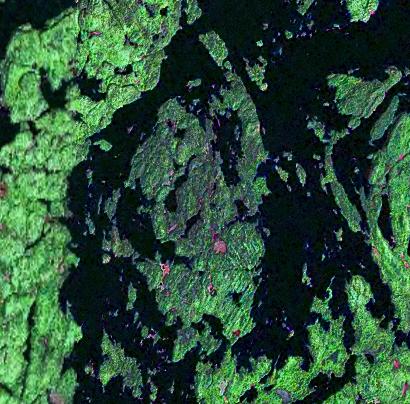
| Description |
English: Southern end of Lake Temagami with the McLean Peninsula in middle. |
| Date | |
| Source | NASA World Wind |
| Author | NASA |
Licensing
edit
| This image is in the public domain because it is a screenshot from NASA’s globe software World Wind using a public domain layer, such as Blue Marble, MODIS, Landsat, SRTM, USGS or GLOBE.
|
 |
File history
Click on a date/time to view the file as it appeared at that time.
| Date/Time | Thumbnail | Dimensions | User | Comment | |
|---|---|---|---|---|---|
| current | 16:32, 17 September 2010 | | 410 × 404 (52 KB) | Black Tusk (talk | contribs) | {{Information |Description={{en|1=Southern end of Lake Temagami with the McLean Peninsula in middle.}} |Source=NASA World Wind |Author=NASA |Date=2010-09-17 |Permission=See below |other_versions= }} Category:Temagami, Ontario [[Category:Peninsula |
You cannot overwrite this file.
File usage on Commons
There are no pages that use this file.
File usage on other wikis
The following other wikis use this file:
- Usage on en.wikipedia.org