File:Mediterranean Sea from Monte Aiona.jpg
Size of this preview: 800 × 426 pixels. Other resolutions: 320 × 171 pixels | 640 × 341 pixels | 1,024 × 546 pixels | 1,280 × 682 pixels | 2,251 × 1,200 pixels.
Original file (2,251 × 1,200 pixels, file size: 1.51 MB, MIME type: image/jpeg)
Captions
Captions
Add a one-line explanation of what this file represents
Summary edit
| Description |
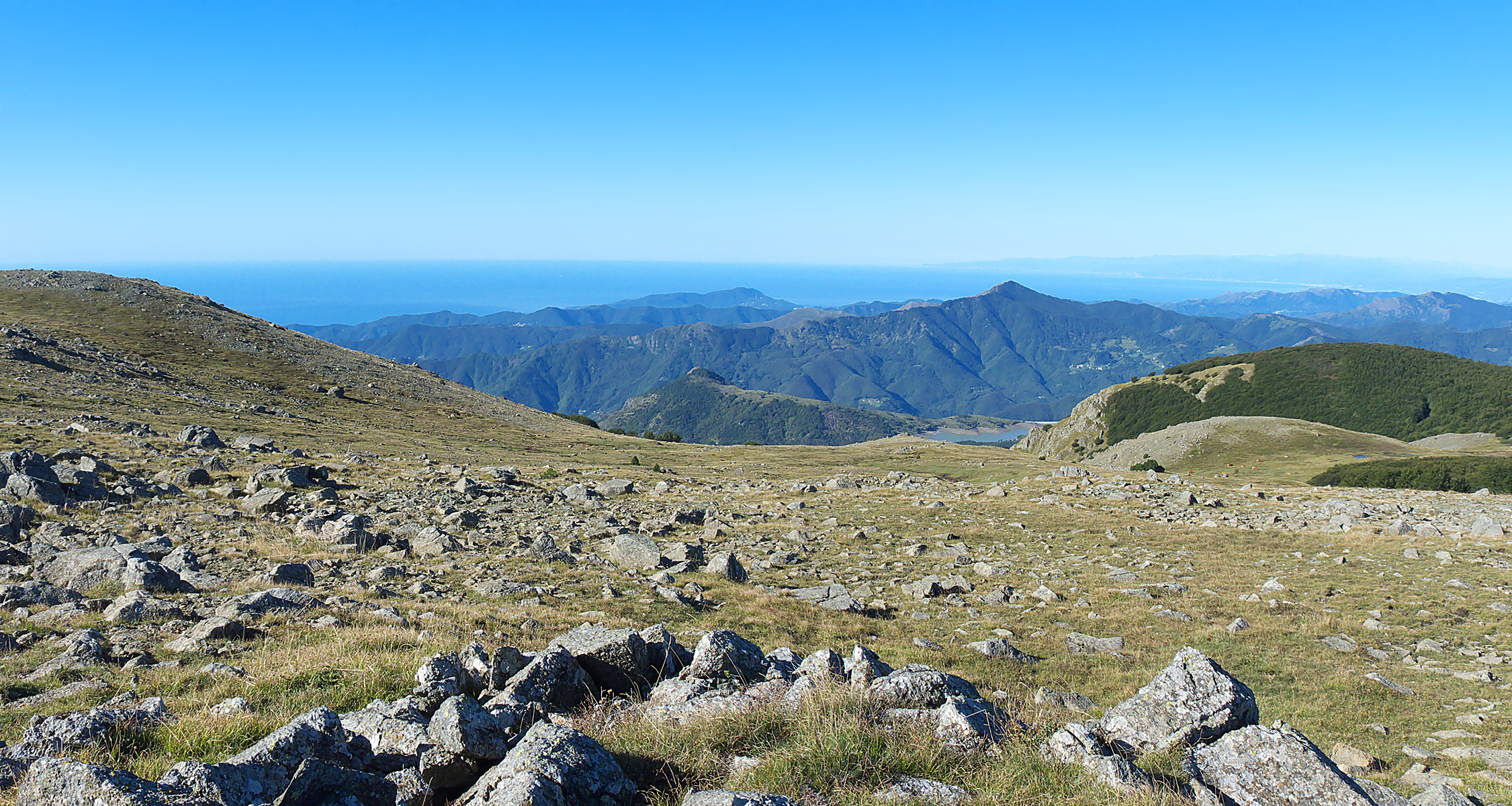
English: Ligurian Sea from summit of Monte Aiona Deutsch: Das Ligurische Meer vom Gipfel des Monte Aiona |
| Date | |
| Source | panoramio |
| Author | Terensky |
| Camera location | | View this and other nearby images on: OpenStreetMap |
|---|
Licensing edit
This file is licensed under the Creative Commons Attribution 3.0 Unported license.
- You are free:
- to share – to copy, distribute and transmit the work
- to remix – to adapt the work
- Under the following conditions:
- attribution – You must give appropriate credit, provide a link to the license, and indicate if changes were made. You may do so in any reasonable manner, but not in any way that suggests the licensor endorses you or your use.
| This image, which was originally posted to Panoramio, was reviewed on 19 November 2012 by the administrator or trusted user Morning Sunshine, who confirmed that it was available on Panoramio under the above license on that date. |
File history
Click on a date/time to view the file as it appeared at that time.
| Date/Time | Thumbnail | Dimensions | User | Comment | |
|---|---|---|---|---|---|
| current | 13:01, 19 November 2012 | | 2,251 × 1,200 (1.51 MB) | Rupert Pupkin (talk | contribs) | {{Information |Description={{en|Ligurian Sea from summit of Monte Aiona}}{{de|Das Ligurische Meer vom Gipfel des Monte Aiona}} |Source=[http://www.panoramio.com/photo/59385415 panoramio] |Date=2011-09-21 09:45 |Author=[http://www.pan... |
You cannot overwrite this file.
File usage on Commons
There are no pages that use this file.
File usage on other wikis
The following other wikis use this file:
- Usage on de.wikipedia.org
- Usage on it.wikipedia.org