File:Menir Monte dos Amantes1.jpg

Original file (1,440 × 2,560 pixels, file size: 1.36 MB, MIME type: image/jpeg)
Captions
Captions
Summary
edit
| Description |
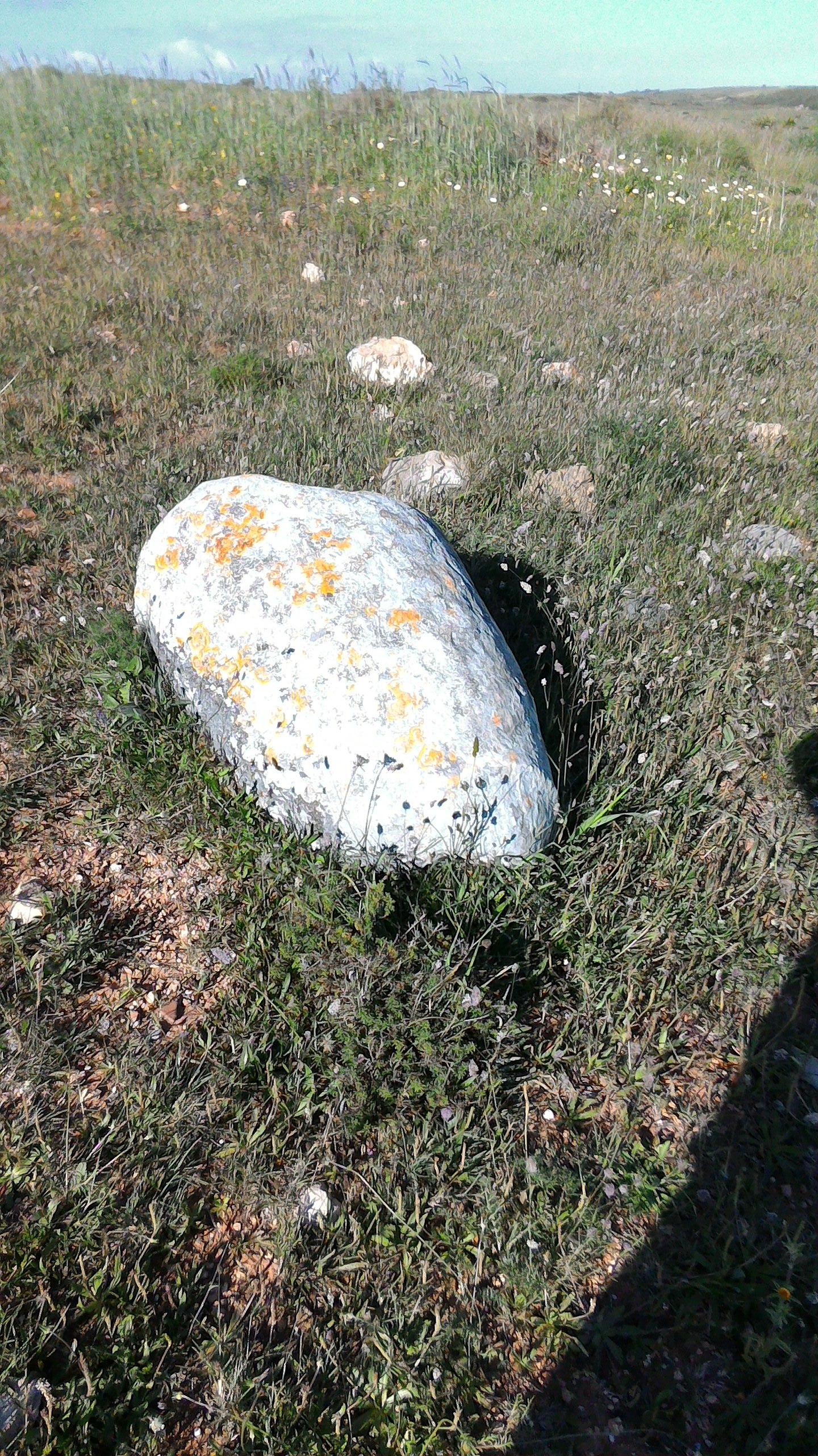
Português: ID73800 Menires observáveis no percurso Monte dos Amantes-Cerro do Camacho em Vila do Bispo, Algarve.
English: ID73800 Observational menires on the route of Monte dos Amantes-Cerro do Camacho in Vila do Bispo, Algarve.
Français : ID73800 Menires d'observation sur la route du Monte dos Amantes-Cerro do Camacho à Vila do Bispo, Algarve.
Español: ID73800 Menires observables en el recorrido Monte de los Amantes-Cerro del Camacho en Vila do Bispo, Algarve. |
| Date | |
| Source | Own work |
| Author | Rmatospi |
| Camera location | | View this and other nearby images on: OpenStreetMap |
|---|
O percurso inicia-se nas coordenadas dadas e termina em: 37.062991, -8.916513 no alto de um monte junto a um poste de alta tensão. O percurso está parcialmente assinalado. Penso que a Câmara de Vila do Bispo pode ajudar com informações, existe um pequeno mapa deste percurso.
The route starts at the given coordinates and ends at: 37.062991, -8.916513 on top of a hill next to a high voltage pole. The course is partially marked. I think the Town Hall of Vila do Bispo can help with information, there is a small map with this route.
El recorrido se inicia en las coordenadas dadas y termina en: 37.062991, -8.916513 en lo alto de un monte junto a un poste de alta tensión. El recorrido está parcialmente señalado. Creo que la Cámara de Vila do Bispo puede ayudar con informaciones, hay un pequeño mapa con este recorrido.
L'itinéraire commence aux coordonnées indiquées et se termine au: 37.062991, -8.916513 au sommet d'une colline à côté d'un pôle haute tension. Le parcours est partiellement marqué. Je pense que la mairie de Vila do Bispo peut aider avec des informations, il y a une petite carte avec cet itinéraire.
Licensing
edit
- You are free:
- to share – to copy, distribute and transmit the work
- to remix – to adapt the work
- Under the following conditions:
- attribution – You must give appropriate credit, provide a link to the license, and indicate if changes were made. You may do so in any reasonable manner, but not in any way that suggests the licensor endorses you or your use.
- share alike – If you remix, transform, or build upon the material, you must distribute your contributions under the same or compatible license as the original.
File history
Click on a date/time to view the file as it appeared at that time.
| Date/Time | Thumbnail | Dimensions | User | Comment | |
|---|---|---|---|---|---|
| current | 16:42, 27 September 2018 | | 1,440 × 2,560 (1.36 MB) | Rmatospi (talk | contribs) | User created page with UploadWizard |
You cannot overwrite this file.
File usage on Commons
There are no pages that use this file.