File:Mercator Rheinpfalz189v.jpg

Size of this preview: 717 × 599 pixels. Other resolutions: 287 × 240 pixels | 574 × 480 pixels | 919 × 768 pixels | 1,225 × 1,024 pixels | 2,171 × 1,815 pixels.
Original file (2,171 × 1,815 pixels, file size: 1.77 MB, MIME type: image/jpeg)
Captions
Captions
Add a one-line explanation of what this file represents
Summary
edit
| Author |
Ger(h)ard Mercator |
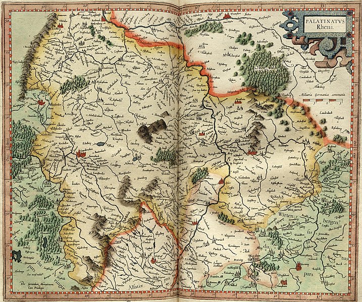
| Description |
Map of Rheinpfalz; 33,5 x 41,5 cm; |
| Date | between 1578 and 1618 |
| References |
Van der Krogt - Koeman's Atlantes Neerlandici New Edition.Volume I. The Folio Atlases Published by Gerard Mercator, Jodocus Hondius, Henricus Hondius, Johannes Janssonius and Their Successors; HES Publishers BV, 1997. |
| Source/Photographer | Mercatoratlas |
Licensing
edit
|
This work is in the public domain in its country of origin and other countries and areas where the copyright term is the author's life plus 100 years or fewer. | |
| This file has been identified as being free of known restrictions under copyright law, including all related and neighboring rights. | |
File history
Click on a date/time to view the file as it appeared at that time.
| Date/Time | Thumbnail | Dimensions | User | Comment | |
|---|---|---|---|---|---|
| current | 23:56, 16 September 2006 | | 2,171 × 1,815 (1.77 MB) | Finanzer (talk | contribs) | {{Information |Description=Aus dem Mercatoratlas, Rheinpfalz |Source= |Date= |Author=1578 |Permission=Gerhard Mercator |other_versions= }} |
You cannot overwrite this file.
File usage on Commons
The following 2 pages use this file:
File usage on other wikis
The following other wikis use this file:
- Usage on cs.wikipedia.org
- Usage on de.wikipedia.org
- Usage on de.wikisource.org
- Usage on en.wikipedia.org
- Usage on hu.wikipedia.org
- Usage on it.wikipedia.org
- Usage on ro.wikipedia.org