File:Merced Regional Airport 2009.jpg
Size of this preview: 600 × 600 pixels. Other resolutions: 240 × 240 pixels | 480 × 480 pixels | 768 × 768 pixels | 1,024 × 1,024 pixels | 1,280 × 1,280 pixels.
Original file (1,280 × 1,280 pixels, file size: 301 KB, MIME type: image/jpeg)
Captions
Captions
Add a one-line explanation of what this file represents
Summary edit
| Description |
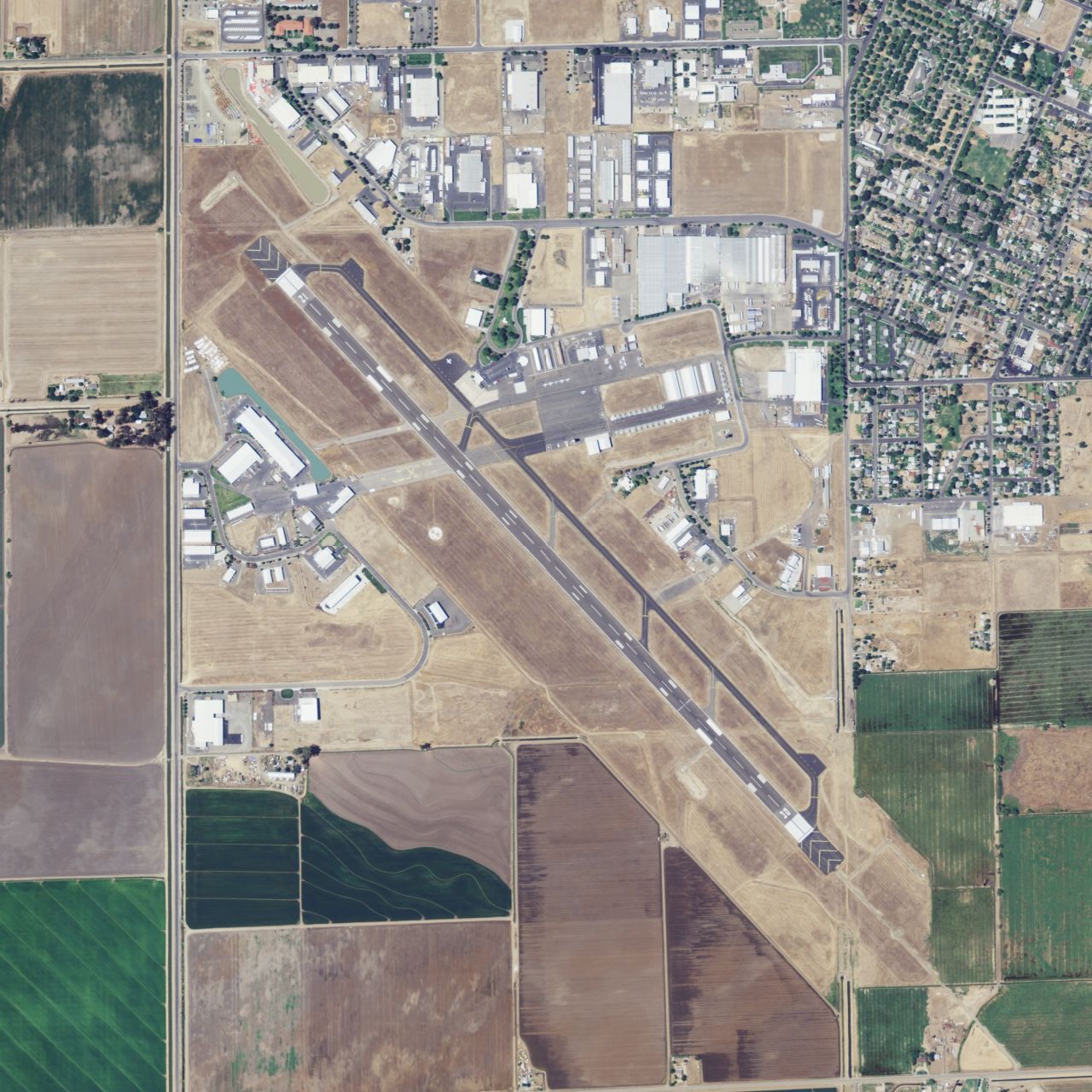
English: Aerial photograph of Merced Regional Airport. |
| Date | |
| Source | National Agriculture Imagery Program, published by the United States Geological Survey and accessed via TopoQuest. https://www.topoquest.com/map.php?lat=37.28472&lon=-120.51389&datum=nad83&zoom=2&map=sat1m&coord=d&mode=zoomin&size=xl |
| Author | United States Department of Agriculture (USDA) |
| Other versions | https://earthexplorer.usgs.gov/metadata/5280/515658/ |
| Camera location | | View this and other nearby images on: OpenStreetMap |
|---|
Licensing edit
This image or file is a work of a United States Department of Agriculture employee, taken or made as part of that person's official duties. As a work of the U.S. federal government, the image is in the public domain.
|
 |
This image is in the public domain in the United States because it only contains materials that originally came from the United States Geological Survey, an agency of the United States Department of the Interior. For more information, see the official USGS copyright policy.
|
File history
Click on a date/time to view the file as it appeared at that time.
| Date/Time | Thumbnail | Dimensions | User | Comment | |
|---|---|---|---|---|---|
| current | 08:41, 25 December 2016 | | 1,280 × 1,280 (301 KB) | SierraPacific (talk | contribs) | User created page with UploadWizard |
You cannot overwrite this file.
File usage on Commons
The following page uses this file:
File usage on other wikis
The following other wikis use this file:
- Usage on en.wikipedia.org
- Usage on fr.wikipedia.org
- Usage on ur.wikipedia.org