File:Merci Train boxcar, Helena-West Helena, Arkansas, 2022-09-04, TJ 01.jpg
Size of this preview: 800 × 401 pixels. Other resolutions: 320 × 160 pixels | 640 × 321 pixels | 1,024 × 513 pixels | 1,280 × 641 pixels | 3,590 × 1,798 pixels.
Original file (3,590 × 1,798 pixels, file size: 1.56 MB, MIME type: image/jpeg)
Captions
Captions
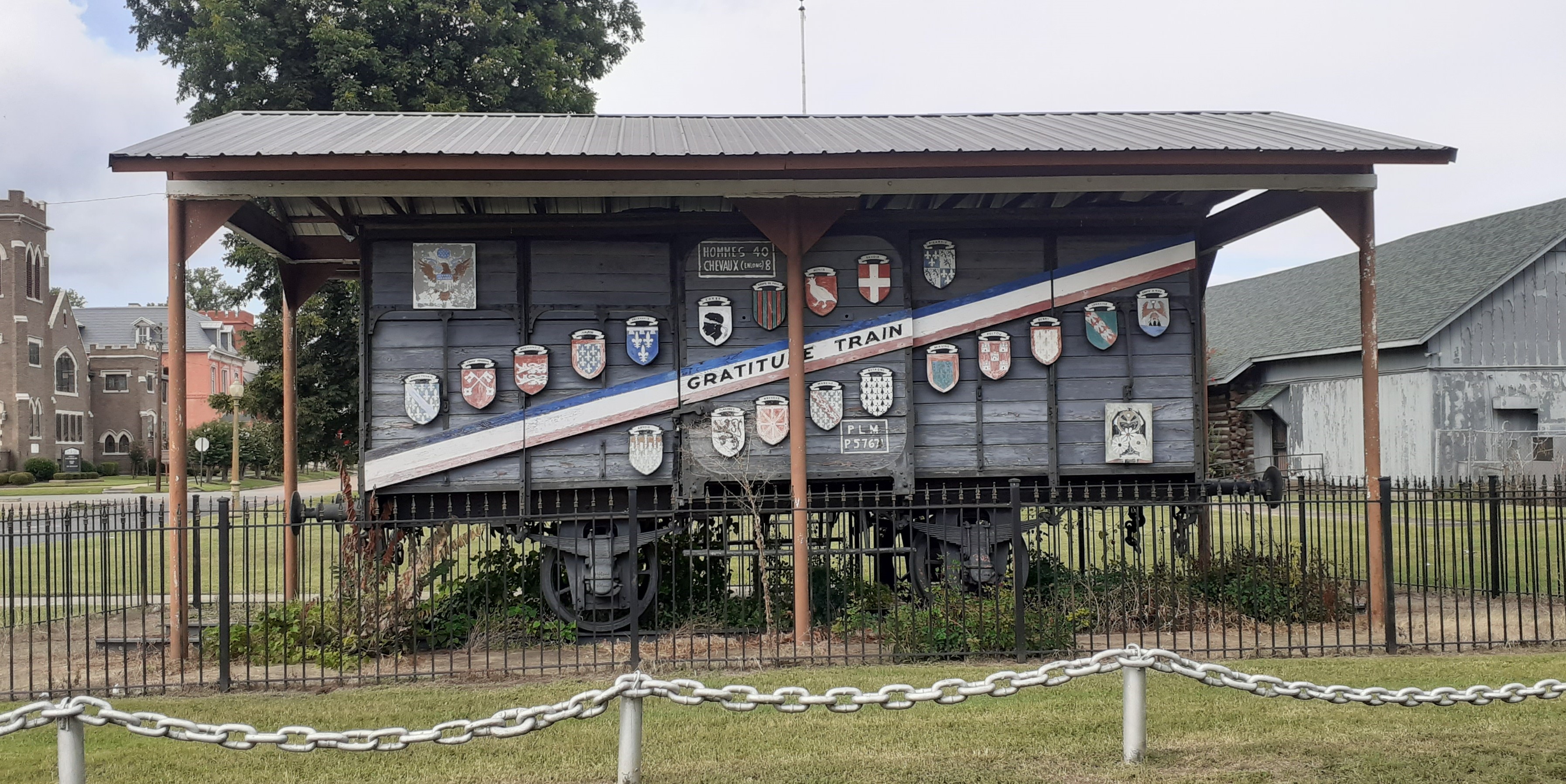
South façade of the Merci Train boxcar in Helena–West Helena, Arkansas
Summary edit
| Description |
English: The Merci Train boxcar is a World War I era "forty and eight" located at Richard L. Kitchens Post No. 41 of the American Legion in Helena–West Helena, Arkansas (United States).
Français : Le wagon couvert Train de la Reconnaissance française est un "quarante-huit" de la Première Guerre mondiale situé au poste n ° 41 de Richard L. Kitchens de la Légion américaine à Helena-West Helena, Arkansas (États-Unis). |
||||||||||||||||
| Taken with | This photo was taken with Samsung Galaxy A20 |
||||||||||||||||
| Date | Taken on 4 September 2022 | ||||||||||||||||
| Source | Self-photographed | ||||||||||||||||
| Author |
|
||||||||||||||||
| Permission (Reusing this file) |
Todd Johnson, the copyright holder of this work, hereby publishes it under the following license: This file is licensed under the Creative Commons Attribution-Share Alike 4.0 International license. Attribution: Todd Johnson
|
||||||||||||||||
| Attribution (required by the license) | © Todd Johnson / Wikimedia Commons / | ||||||||||||||||
| Object location | | View this and other nearby images on: OpenStreetMap |
|---|
File history
Click on a date/time to view the file as it appeared at that time.
| Date/Time | Thumbnail | Dimensions | User | Comment | |
|---|---|---|---|---|---|
| current | 10:59, 17 January 2023 | | 3,590 × 1,798 (1.56 MB) | Lieutcoluseng (talk | contribs) | Uploaded own work with UploadWizard |
You cannot overwrite this file.
File usage on Commons
The following 2 pages use this file:
File usage on other wikis
The following other wikis use this file:
- Usage on en.wikipedia.org