File:Merschbach Gletscher 3.jpg
Size of this preview: 800 × 600 pixels. Other resolutions: 320 × 240 pixels | 640 × 480 pixels | 1,024 × 768 pixels | 1,280 × 960 pixels | 2,560 × 1,920 pixels | 4,608 × 3,456 pixels.
Original file (4,608 × 3,456 pixels, file size: 677 KB, MIME type: image/jpeg)
Captions
Captions
Add a one-line explanation of what this file represents
Summary
edit
| Description |
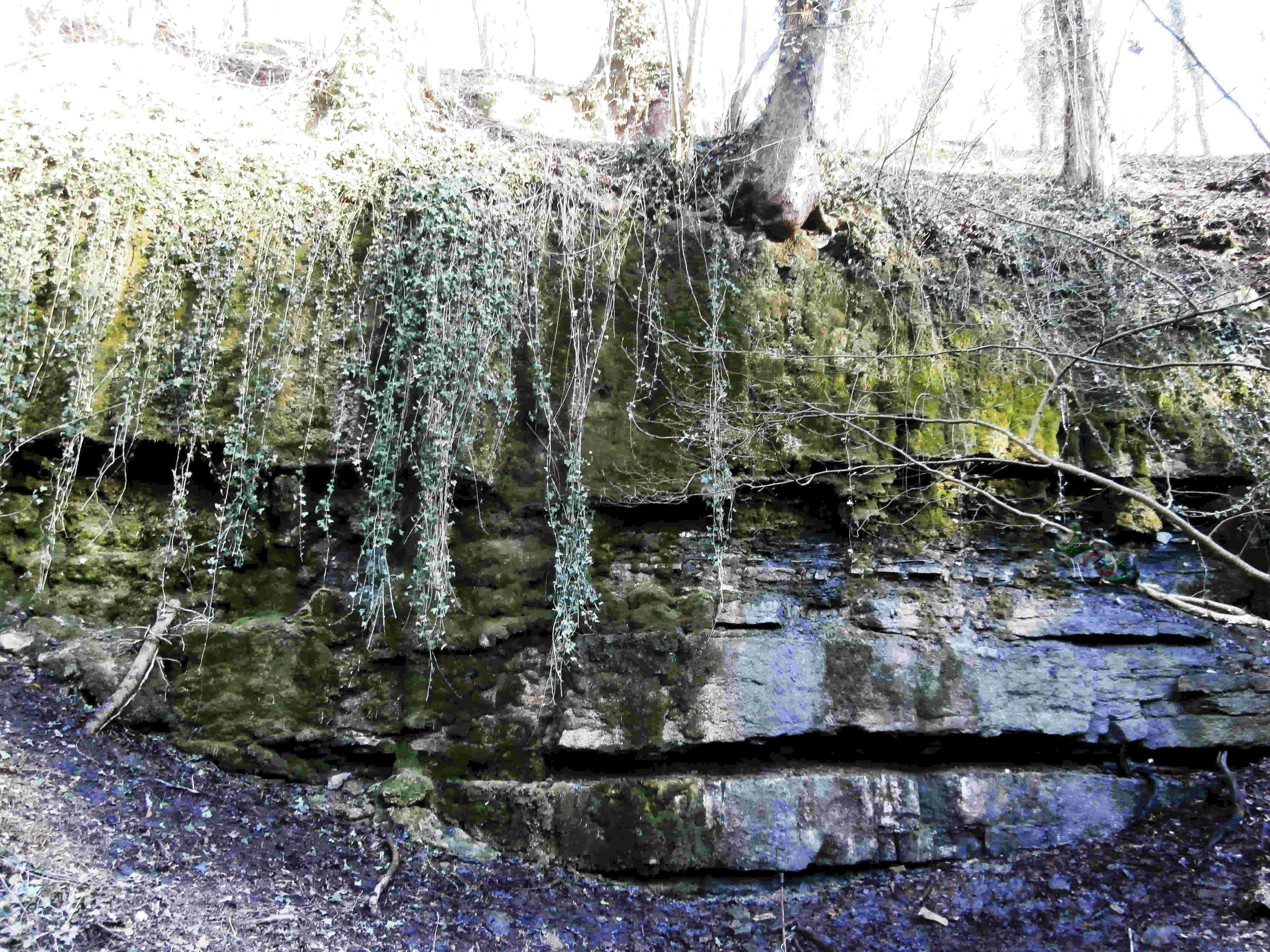
Deutsch: Der sog. "Bad Wimpfener Gletscher", ein geologischer Aufschluss im Mörschbachtal, winters oft mit bizarren Eisformationen. |
| Date | |
| Source | Own work |
| Author | Sarang |
| Object location | | View this and other nearby images on: OpenStreetMap |
|---|
Licensing
edit
| I, the copyright holder of this work, release this work into the public domain. This applies worldwide. In some countries this may not be legally possible; if so: I grant anyone the right to use this work for any purpose, without any conditions, unless such conditions are required by law. |
File history
Click on a date/time to view the file as it appeared at that time.
| Date/Time | Thumbnail | Dimensions | User | Comment | |
|---|---|---|---|---|---|
| current | 10:39, 3 March 2021 | | 4,608 × 3,456 (677 KB) | Sarang (talk | contribs) | {{Information |Description={{de|Der sog. "Bad Wimpfener Gletscher", ein {{Wd|Aufschluss (Geologie)|geologischer Aufschluss}} im Mörschbachtal, winters oft mit bizarren Eisformationen.}} |Date=2021-03-02 |Source={{Own}} |Author={{U|Sarang}} }} {{Object location|49°13′40.8″N 09°10′12.6″E|dim:384}} == {{int:license-header}} == {{PD-self}} Category:Mörschbach-Tal |
You cannot overwrite this file.
File usage on Commons
The following 2 pages use this file: