File:Mesopotamia location map with rivers.svg

Size of this PNG preview of this SVG file: 800 × 600 pixels. Other resolutions: 320 × 240 pixels | 640 × 480 pixels | 1,024 × 767 pixels | 1,280 × 959 pixels | 2,560 × 1,918 pixels | 802 × 601 pixels.
Original file (SVG file, nominally 802 × 601 pixels, file size: 86 KB)
Captions
Captions
Add a one-line explanation of what this file represents
Summary edit
| Description |
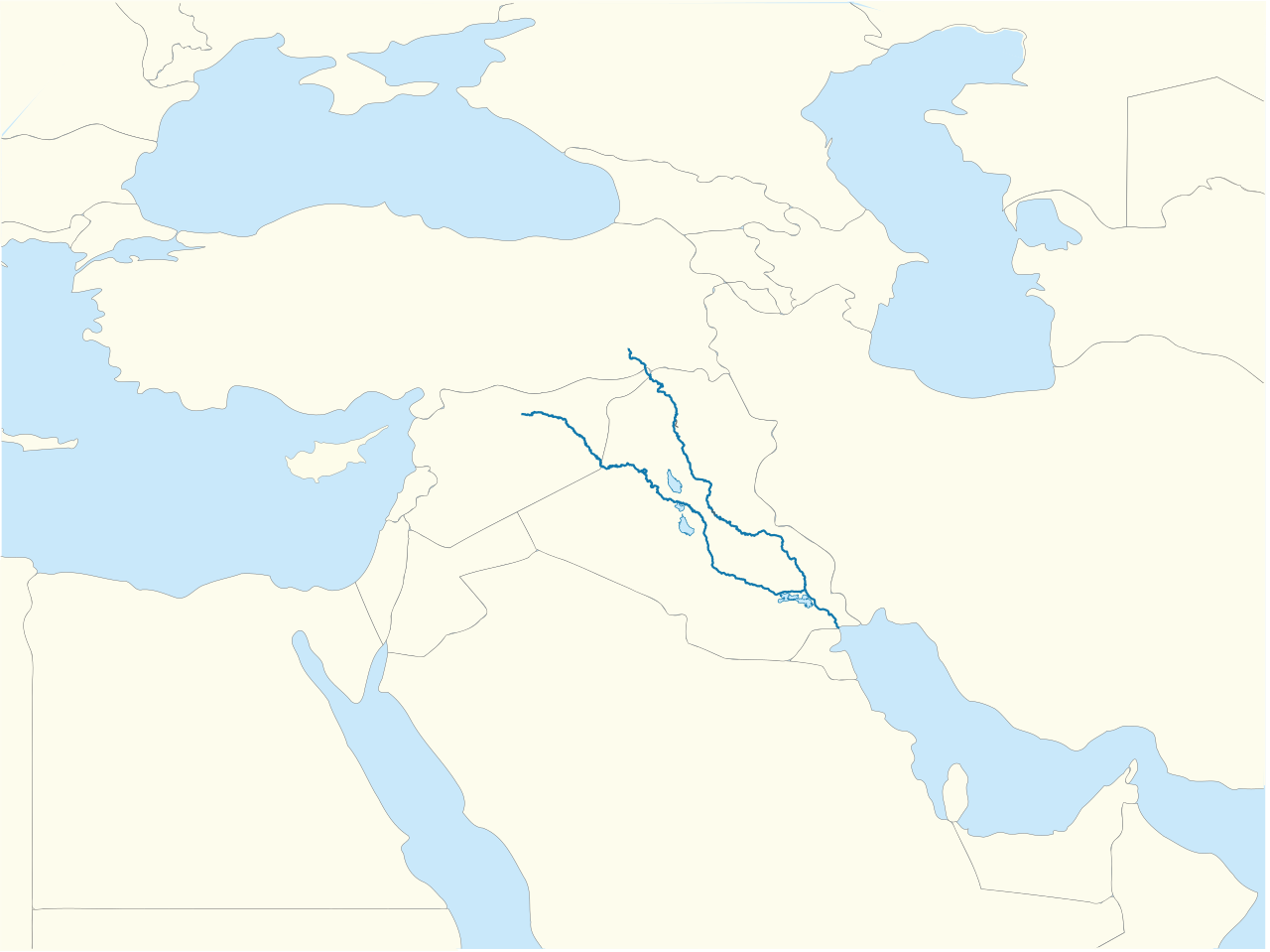
한국어: 메소포타미아(Mesopotamia)의 위치지도, File:Mesopotamia_location_map.svg와는 티그리스와 유프라테스 강이 들어 있는 것이 다른 점이다. 참조: ko:Template:위치 지도 메소포타미아 |
| Date | |
| Source | Own work, Mesopotamia location map.svg |
| Author | 배우는사람 |
| Permission (Reusing this file) |
없음 |
| Other versions |

Licensing edit
| I, the copyright holder of this work, release this work into the public domain. This applies worldwide. In some countries this may not be legally possible; if so: I grant anyone the right to use this work for any purpose, without any conditions, unless such conditions are required by law. |
File history
Click on a date/time to view the file as it appeared at that time.
| Date/Time | Thumbnail | Dimensions | User | Comment | |
|---|---|---|---|---|---|
| current | 16:15, 27 February 2024 | | 802 × 601 (86 KB) | Iktsokh (talk | contribs) | Added Cyprus |
| 23:04, 10 October 2010 |  | 802 × 601 (83 KB) | 배우는사람 (talk | contribs) | 경계에 나타나는 파란색을 제거 | |
| 22:40, 10 October 2010 |  | 802 × 601 (83 KB) | 배우는사람 (talk | contribs) | {{파일 정보 |설명=메소포타미아(Mesopotamia)의 위치지도, 파일:Mesopotamia_location_map.svg와는 티그리스와 유프라테스 강이 들어 있는 것이 다른 점이다. 참조: [[틀:위치 지도 메소포타미� |
You cannot overwrite this file.
File usage on Commons
There are no pages that use this file.
File usage on other wikis
The following other wikis use this file:
- Usage on ko.wikipedia.org