File:Metro Baumanskaya building after repair - panoramio (1).jpg

Size of this preview: 800 × 457 pixels. Other resolutions: 320 × 183 pixels | 640 × 366 pixels | 1,024 × 585 pixels | 1,280 × 732 pixels | 2,560 × 1,463 pixels | 10,328 × 5,904 pixels.
Original file (10,328 × 5,904 pixels, file size: 5.52 MB, MIME type: image/jpeg)
Captions
Captions
Add a one-line explanation of what this file represents
Summary
edit.jpg&action=edit§ion=1)
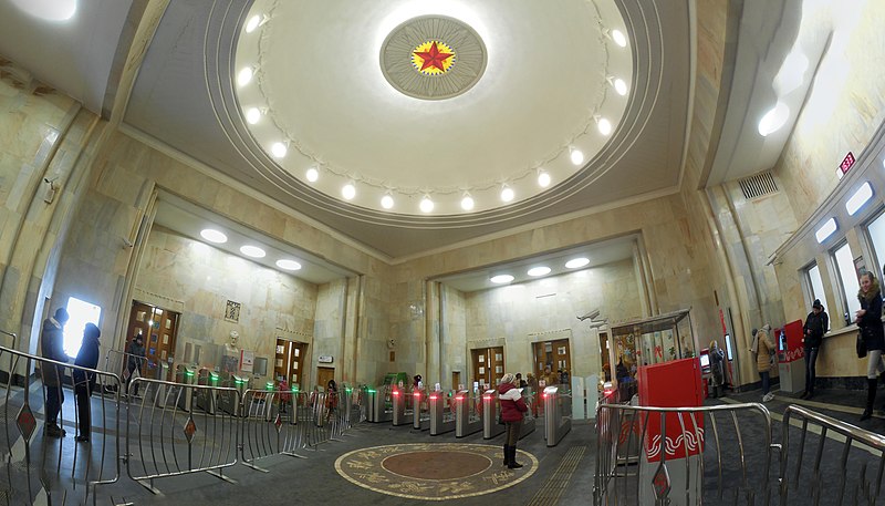
| Description | Metro Baumanskaya building after repair | ||
| Date | Taken on 3 January 2016 | ||
| Source | https://web.archive.org/web/20161031083209/http://www.panoramio.com/photo/127154107 | ||
| Author | Svetlov Artem | ||
| Permission (Reusing this file) |
This file is licensed under the Creative Commons Attribution 3.0 Unported license. Attribution: Svetlov Artem
|
||
| Panoramio Tags | Moscow |
| Camera location | | View this and other nearby images on: OpenStreetMap |
|---|
.jpg¶ms=055.772524_N_0037.679114_E_globe:Earth_type:camera_source:Panoramio_&language=en)
File history
Click on a date/time to view the file as it appeared at that time.
| Date/Time | Thumbnail | Dimensions | User | Comment | |
|---|---|---|---|---|---|
| current | 13:37, 21 June 2017 | | 10,328 × 5,904 (5.52 MB) | Panoramio upload bot (talk | contribs) | == {{int:filedesc}} == {{Information |description=Metro Baumanskaya building after repair |date={{Taken on|2016-01-03}} |source=http://www.panoramio.com/photo/127154107 |author=[http://www.panoramio.com/user/5441114?with_photo_id=127154107 Svetlov Arte... |
You cannot overwrite this file.
File usage on Commons
There are no pages that use this file.
.jpg&oldid=772219164)