File:Mexico Veracruz location map.svg

Size of this PNG preview of this SVG file: 545 × 599 pixels. Other resolutions: 218 × 240 pixels | 436 × 480 pixels | 698 × 768 pixels | 931 × 1,024 pixels | 1,862 × 2,048 pixels | 2,404 × 2,644 pixels.
Original file (SVG file, nominally 2,404 × 2,644 pixels, file size: 1.86 MB)
Captions
Captions
Add a one-line explanation of what this file represents
W3C-validity not checked.
| Description |
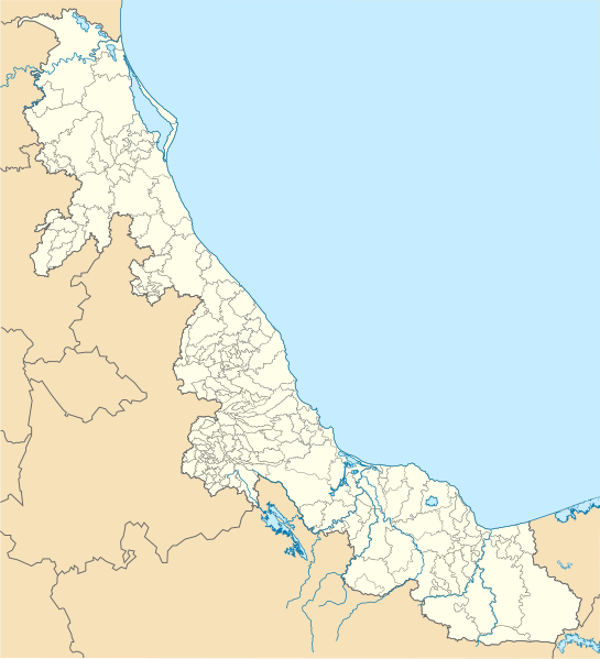
Location Map of en:Veracruz Equirectangular projection, Geographic limits of the map:
|
| Date | |
| Source | Own work |
| Author | Battroid (talk) |
I, the copyright holder of this work, hereby publish it under the following license:
| I, the copyright holder of this work, release this work into the public domain. This applies worldwide. In some countries this may not be legally possible; if so: I grant anyone the right to use this work for any purpose, without any conditions, unless such conditions are required by law. |
File history
Click on a date/time to view the file as it appeared at that time.
| Date/Time | Thumbnail | Dimensions | User | Comment | |
|---|---|---|---|---|---|
| current | 16:08, 18 August 2023 | | 2,404 × 2,644 (1.86 MB) | GrandEscogriffe (talk | contribs) | more correct north-south stretching |
| 08:06, 4 December 2011 |  | 2,404 × 2,504 (2.46 MB) | Battroid (talk | contribs) | {{ValidSVG}} {{Information |Description=Location Map of en:Veracruz Equirectangular projection, Geographic limits of the map: * N: 22.57° N * S: 16.96° N * W: 98.87° W * E: 93.45° W |Source={{own work}} |Date=2011-12-04 |Author=[[User:Battroid|Ba | |
| 07:40, 4 December 2011 |  | 2,404 × 2,504 (2.47 MB) | Battroid (talk | contribs) | {{ValidSVG}} {{Information |Description=Location Map of en:Veracruz Equirectangular projection, Geographic limits of the map: * N: 22.57° N * S: 16.96° N * W: 98.87° W * E: 93.45° W |Source={{own work}} |Date=2011-12-04 |Author=[[User:Battroid|Ba |
You cannot overwrite this file.
File usage on Commons
The following 13 pages use this file:
- Category:Airports in Veracruz
- Category:Archeological sites in Veracruz
- Category:Association football players from Veracruz
- Category:Births in Veracruz
- Category:Deaths in Veracruz
- Category:Education in Veracruz
- Category:Flora of Veracruz
- Category:Geography of Veracruz
- Category:Maps of Veracruz
- Category:People of Veracruz
- Category:Rivers of Veracruz
- Category:Sports in Veracruz
- Category:Veracruz
File usage on other wikis
The following other wikis use this file:
- Usage on ar.wikipedia.org
- Usage on bg.wikipedia.org
- Usage on ceb.wikipedia.org
- Usage on ce.wikipedia.org
- Usage on de.wikipedia.org
- Veracruz (Veracruz)
- Córdoba (Veracruz)
- Xalapa
- Coatzacoalcos
- Tuxpan (Veracruz)
- Poza Rica de Hidalgo
- Palma Sola (Alto Lucero de Gutiérrez Barrios)
- Tecolutla
- Buenavista (Valente Díaz)
- Wikipedia:Kartenwerkstatt/Positionskarten/Nordamerika
- Orizaba
- Boca del Río (Veracruz)
- La Antigua (Veracruz)
- Isla de Sacrificios
- Alvarado (Veracruz)
- Minatitlán (Veracruz)
- Coatepec
- Camarón de Tejeda
- Tlacotalpan
- Perote
- Isla Lobos (Veracruz)
- Río Blanco (Veracruz)
- Estadio Socum
- Vorlage:Positionskarte Mexiko Veracruz
- Cerro del Borrego
- Nogales (Veracruz)
- Fortín de las Flores
- Barranca de Metlac
- Estadio Xalapeño
- Santiago Tuxtla
- San Andrés Tuxtla
- Catemaco-See
- Catemaco
- Liste der Municipios in Veracruz
- Macuiltépetl
- Xico (Veracruz)
- Puente Chiltoyac
- Papantla
- Coscomatepec de Bravo
- Zozocolco de Hidalgo
View more global usage of this file.