File:Meyer‘s Zeitungsatlas 066 – Belgien und Luxemburg.jpg

Original file (7,309 × 6,272 pixels, file size: 16.03 MB, MIME type: image/jpeg)
Captions
Captions
Summary
edit
| Title |
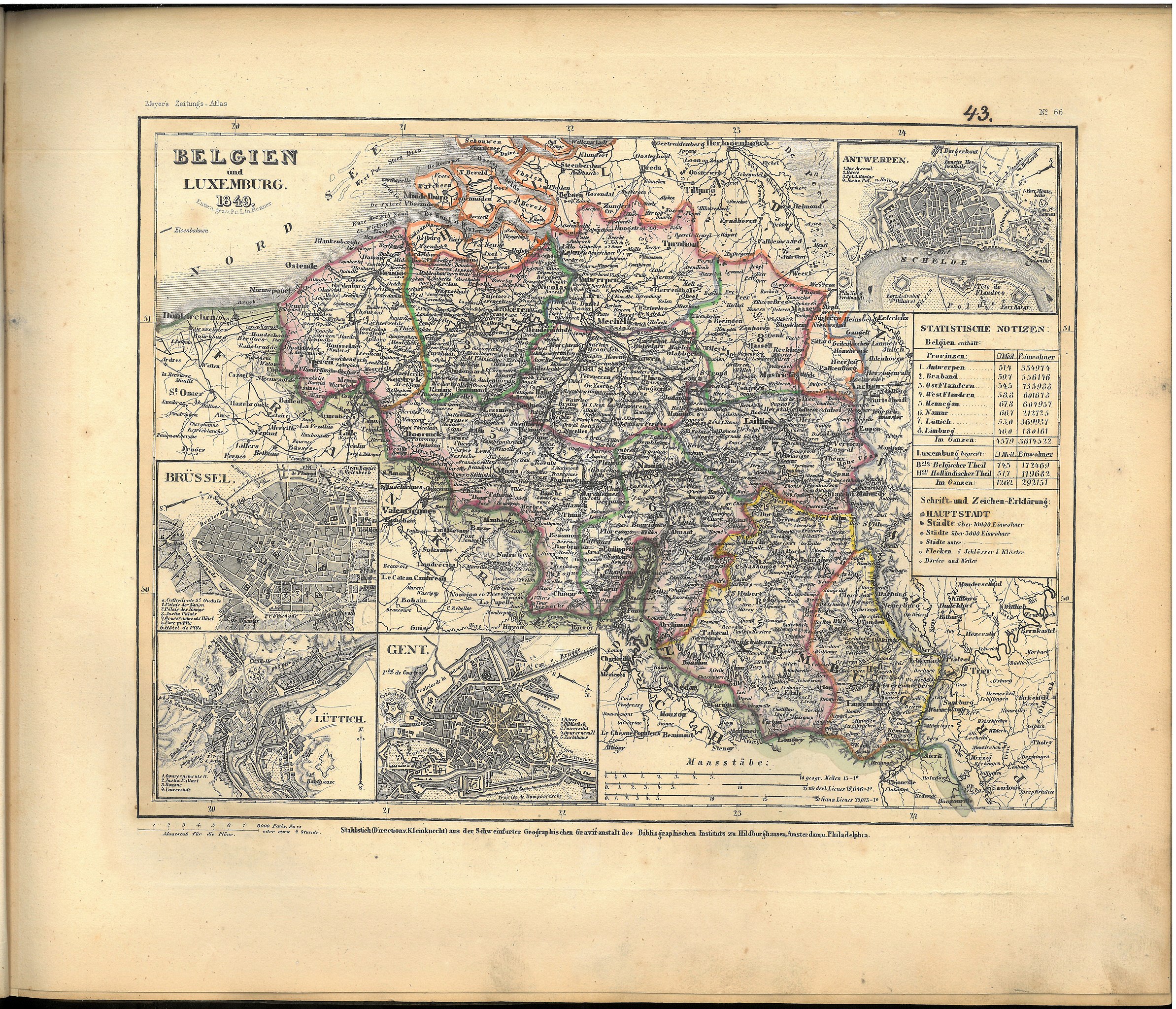
Meyer‘s Zeitungsatlas 066 – Belgien und Luxemburg |
| Date | |
| Source | Eigener Scan aus privat gebundenem Exemplar von Meyer‘s Zeitungsatlas |
| Creator |
Entworfen und gezeichnet von Pr. Ltn. Renner |
| Geotemporal data | |
| Map location | Belgien, Luxemburg |
| Map type | thematic map |
| Georeferencing | If inappropriate please set warp_status = skip to hide. |
| Bibliographic data | |
| Part of the series | Meyer‘s Zeitungsatlas |
| Language | German |
| Place of publication | Hildburghausen |
| Publisher |
Stahlstich (Direktion v. Kleinknecht) aus der Schweinfurter Geograph. Gravieranstalt des Bibliographischen Instituts zu Hildburghausen, Amsterdam und Philadelphia |
| Archival data | |
| Dimensions | height: 26.1 cm (10.2 in); width: 30.9 cm (12.1 in) |
| Medium | steel engraving print on paper |
| Notes | Zusatzkarten: Antwerpen; Brüssel; Lüttich; Gent. Statistische Notizen |
| Scan resolution | 600 dpi |
Licensing
edit
|
This work is in the public domain in its country of origin and other countries and areas where the copyright term is the author's life plus 70 years or fewer.
| |
| This file has been identified as being free of known restrictions under copyright law, including all related and neighboring rights. | |
File history
Click on a date/time to view the file as it appeared at that time.
| Date/Time | Thumbnail | Dimensions | User | Comment | |
|---|---|---|---|---|---|
| current | 07:50, 21 December 2020 | | 7,309 × 6,272 (16.03 MB) | Derbrauni (talk | contribs) | {{Map |title =Meyer‘s Zeitungsatlas 066 – Belgien und Luxemburg |description = |legend = |author =Entworfen und gezeichnet von Pr. Ltn. Renner |image = |date =1849 |source =Eigener Scan aus privat gebundenem Exemplar von Meyer‘s Zeitungsatlas |permission = |map date = |location =Belgien, Luxemburg |type =thematic map |projection = |scale = |zoom... |
You cannot overwrite this file.
File usage on Commons
The following page uses this file: