File:Michigan, Minnesota, and Wisconsin. Walling, H. F.; Gray, Ormando Willis; Lloyd, H. H. 1872.jpg
Size of this preview: 800 × 585 pixels. Other resolutions: 320 × 234 pixels | 640 × 468 pixels | 1,024 × 749 pixels | 1,280 × 936 pixels | 2,560 × 1,873 pixels | 5,809 × 4,249 pixels.
Original file (5,809 × 4,249 pixels, file size: 34.09 MB, MIME type: image/jpeg)
Captions
Captions
Add a one-line explanation of what this file represents
Summary edit
| Description |
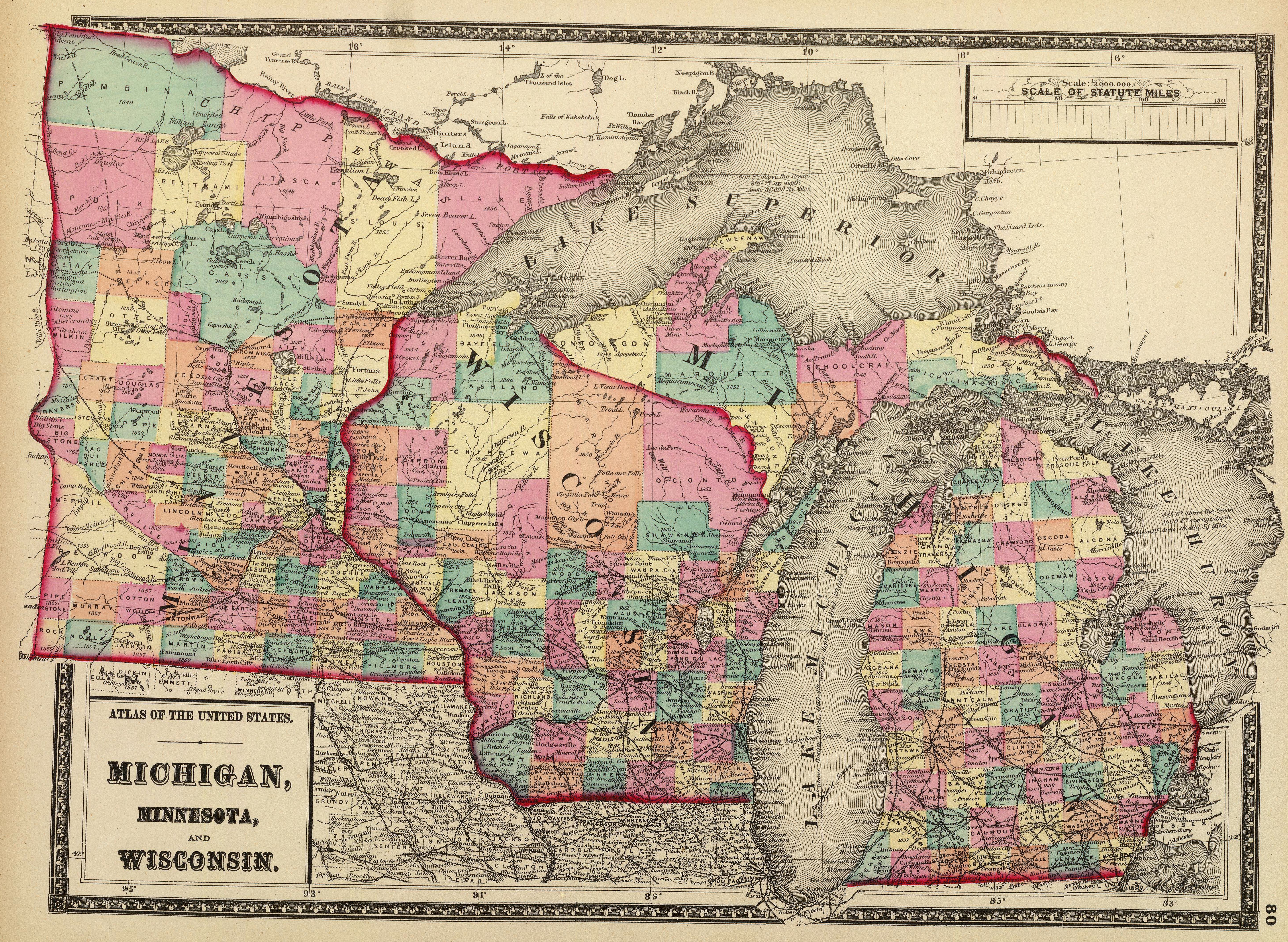
English: 1872 map of the states of Minnesota, Wisconsin, and Michigan. |
| Date | |
| Source | From: www.davidrumsey.com |
| Author | Walling, H. F.; Gray, Ormando Willis; Lloyd, H. H. |
Licensing edit
|
This is a faithful photographic reproduction of a two-dimensional, public domain work of art. The work of art itself is in the public domain for the following reason:
The official position taken by the Wikimedia Foundation is that "faithful reproductions of two-dimensional public domain works of art are public domain".
This photographic reproduction is therefore also considered to be in the public domain in the United States. In other jurisdictions, re-use of this content may be restricted; see Reuse of PD-Art photographs for details. | ||||
File history
Click on a date/time to view the file as it appeared at that time.
| Date/Time | Thumbnail | Dimensions | User | Comment | |
|---|---|---|---|---|---|
| current | 22:04, 6 December 2010 | | 5,809 × 4,249 (34.09 MB) | Minnecologies (talk | contribs) | Cropped |
| 21:13, 3 December 2010 |  | 6,450 × 5,271 (8.8 MB) | Minnecologies (talk | contribs) | {{Information |Description={{en|1=1872 map of the states of Minnesota, Wisconsin, and Michigan.}} |Source=From: [http://www.davidrumsey.com/luna/servlet/detail/RUMSEY~8~1~23333~810022:Atlas-of-the-United-States--Michiga www.davidrumsey.com] |Author=Wallin |
You cannot overwrite this file.
File usage on Commons
The following page uses this file: