File:Milestone on Reigate Hill - geograph.org.uk - 726242.jpg
No higher resolution available.
Milestone_on_Reigate_Hill_-_geograph.org.uk_-_726242.jpg (640 × 426 pixels, file size: 148 KB, MIME type: image/jpeg)
Captions
Captions
Add a one-line explanation of what this file represents
Summary
edit
| Description |
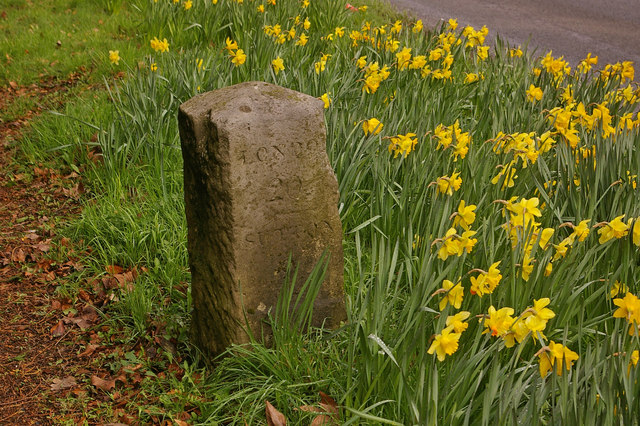
English: Milestone on Reigate Hill. Situated on the A217 north out of Reigate (see 726239), this limestone milestone dates from the early 19th century and is Grade II listed. On the south face (visible) is written London 20, Sutton 9, and on the east face Brighton 31 5/8, Reigate 5/8.
Deutsch: Meilenstein auf Reigate Hill. Gelegen an der A217 nördlich von Reigate (siehe 726239), stammt dieser Kalkstein-Meilenstein aus dem frühen 19. Jahrhundert und steht unter Denkmalschutz (Grade II). Auf der Südseite (sichtbar) steht London 20, Sutton 9, und auf der Ostseite Brighton 31 5/8, Reigate 5/8.
Italiano: Pietra miliare su Reigate Hill. Situata lungo la A217 a nord di Reigate (vedi 726239), questa pietra miliare in calcare risale all'inizio del XIX secolo ed è protetta (Grado II). Sulla facciata sud (visibile) è scritto London 20, Sutton 9, e sulla facciata est Brighton 31 5/8, Reigate 5/8.
|
|
| Date | ||
| Source | From geograph.org.uk | |
| Author | Ian Capper | |
| Attribution (required by the license) | Ian Capper / Milestone on Reigate Hill / | |
| Camera location | | View this and other nearby images on: OpenStreetMap |
|---|
_heading:22.00&language=en)
| Object location | | View this and other nearby images on: OpenStreetMap |
|---|
_heading:22.00&language=en)
Licensing
edit

|
This image was taken from the Geograph project collection. See this photograph's page on the Geograph website for the photographer's contact details. The copyright on this image is owned by Ian Capper and is licensed for reuse under the Creative Commons Attribution-ShareAlike 2.0 license.
|
This file is licensed under the Creative Commons Attribution-Share Alike 2.0 Generic license.
Attribution: Ian Capper
- You are free:
- to share – to copy, distribute and transmit the work
- to remix – to adapt the work
- Under the following conditions:
- attribution – You must give appropriate credit, provide a link to the license, and indicate if changes were made. You may do so in any reasonable manner, but not in any way that suggests the licensor endorses you or your use.
- share alike – If you remix, transform, or build upon the material, you must distribute your contributions under the same or compatible license as the original.
File history
Click on a date/time to view the file as it appeared at that time.
| Date/Time | Thumbnail | Dimensions | User | Comment | |
|---|---|---|---|---|---|
| current | 05:11, 19 February 2011 | | 640 × 426 (148 KB) | GeographBot (talk | contribs) | == {{int:filedesc}} == {{Information |description={{en|1=Milestone on Reigate Hill Situated on the A217 north out of Reigate (see 726239), this limestone milestone dates from the early 19th century and is Grade II listed. On the south face (visible) |
You cannot overwrite this file.
File usage on Commons
There are no pages that use this file.
File usage on other wikis
The following other wikis use this file:
- Usage on www.wikidata.org