File:MinamikawaDam-informationCenter.jpg
Size of this preview: 800 × 450 pixels. Other resolutions: 320 × 180 pixels | 640 × 360 pixels | 1,024 × 576 pixels | 1,280 × 720 pixels | 3,200 × 1,800 pixels.
Original file (3,200 × 1,800 pixels, file size: 1.66 MB, MIME type: image/jpeg)
Captions
Captions
Add a one-line explanation of what this file represents
Summary
edit
| Description | |
| Date | |
| Source | Own work |
| Author | Wkatsuhiro |
| Camera location | | View this and other nearby images on: OpenStreetMap |
|---|
Licensing
edit
| I, the copyright holder of this work, release this work into the public domain. This applies worldwide. In some countries this may not be legally possible; if so: I grant anyone the right to use this work for any purpose, without any conditions, unless such conditions are required by law. |
File history
Click on a date/time to view the file as it appeared at that time.
| Date/Time | Thumbnail | Dimensions | User | Comment | |
|---|---|---|---|---|---|
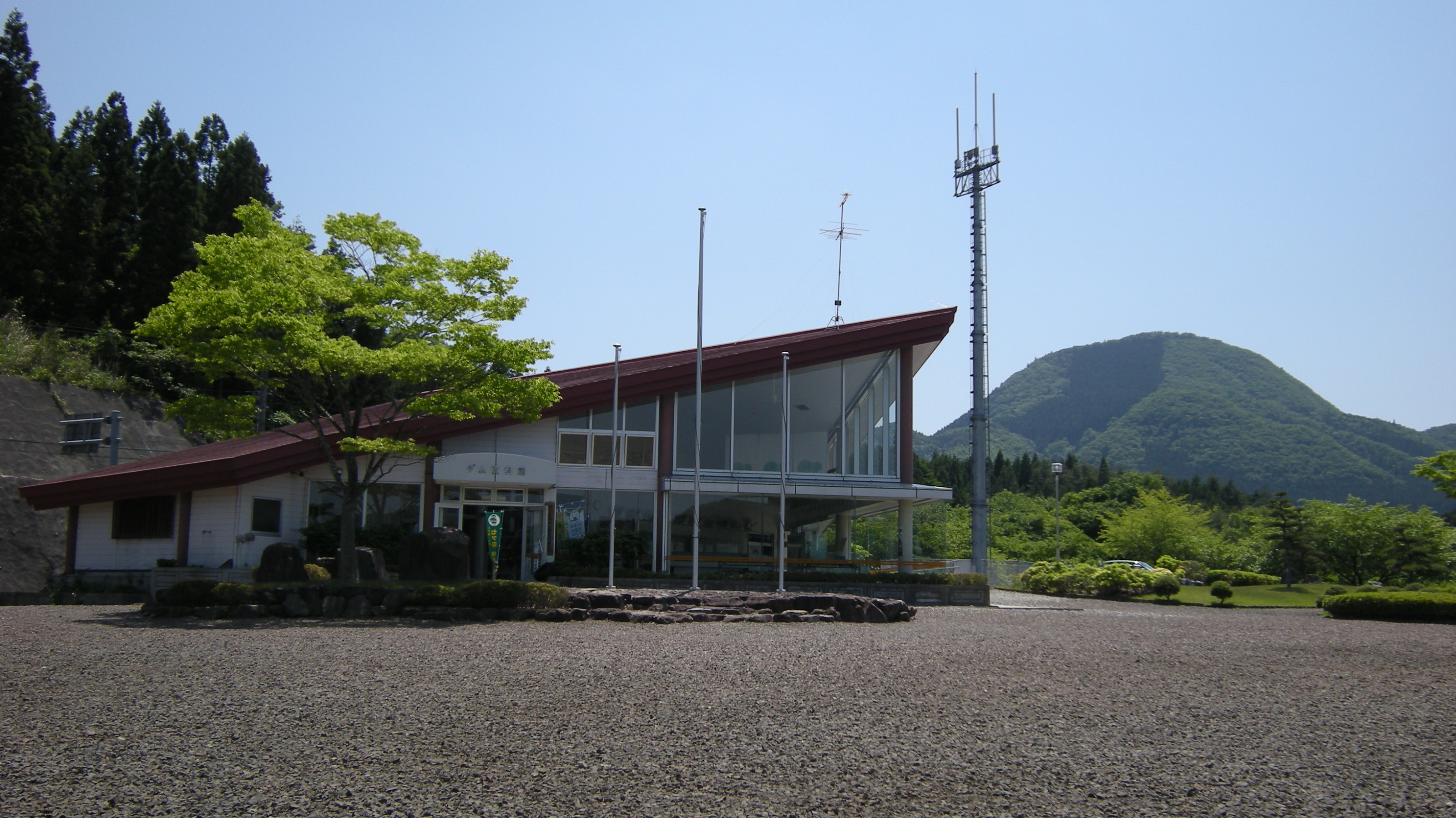
| current | 08:07, 5 June 2009 | | 3,200 × 1,800 (1.66 MB) | Wkatsuhiro (talk | contribs) | {{Information |Description={{ja|1=宮城県黒川郡大和町の七ツ森湖畔公園にあるダム資料館建物。南川ダムや七ツ森や付近の地域に関する情報が展示されて |
You cannot overwrite this file.
File usage on Commons
There are no pages that use this file.