File:Mine-ic.jpg

Size of this preview: 797 × 600 pixels. Other resolutions: 319 × 240 pixels | 638 × 480 pixels | 1,021 × 768 pixels | 1,280 × 963 pixels | 2,231 × 1,679 pixels.
Original file (2,231 × 1,679 pixels, file size: 1.06 MB, MIME type: image/jpeg)
Captions
Captions
Add a one-line explanation of what this file represents
Summary
edit
| Description | |
| Source | 国土交通省 国土画像情報(カラー空中写真)を基に作成 |
| Author | The Ministry of Land, Infrastructure, Transport and Tourism of Japan |
Licensing
edit

|
The copyright holder of this file, the Ministry of Land, Infrastructure, Transport and Tourism of Japan, allows anyone to use it for any purpose, provided that the copyright holder is properly attributed. Redistribution, derivative work, commercial use, and all other use is permitted. |
Attribution:
Copyright © National Land Image Information (Color Aerial Photographs), Ministry of Land, Infrastructure, Transport and Tourism
|
 |
This image is copyrighted by the Ministry of Land, Infrastructure, Transport and Tourism of Japan. For terms of use, see the stipulation to use of National Land Information (in Japanese) and message from MLIT (in Japanese and English). When you display this image on an article, include the following phrase in the description: "Made based on National Land Image Information (Color Aerial Photographs), Ministry of Land, Infrastructure, Transport and Tourism".
|
File history
Click on a date/time to view the file as it appeared at that time.
| Date/Time | Thumbnail | Dimensions | User | Comment | |
|---|---|---|---|---|---|
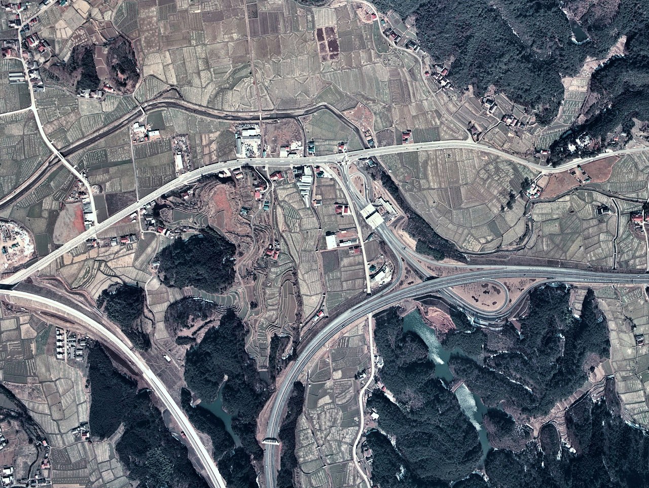
| current | 14:19, 23 September 2007 | | 2,231 × 1,679 (1.06 MB) | Bsx (talk | contribs) | 中国道美祢IC付近写真(上が北) 右から下に向かう道路が中国道、丈夫左右の道路が国道435号、右が宇部興産専用道路 {{AerialPhotograph-mlitJP}} |
You cannot overwrite this file.
File usage on Commons
There are no pages that use this file.