File:MonklandCanalOldPalacecraigWeir.JPG
Size of this preview: 800 × 600 pixels. Other resolutions: 320 × 240 pixels | 640 × 480 pixels | 1,024 × 768 pixels | 1,280 × 960 pixels | 2,560 × 1,920 pixels.
Original file (2,560 × 1,920 pixels, file size: 3.5 MB, MIME type: image/jpeg)
Captions
Captions
Add a one-line explanation of what this file represents
| Description |
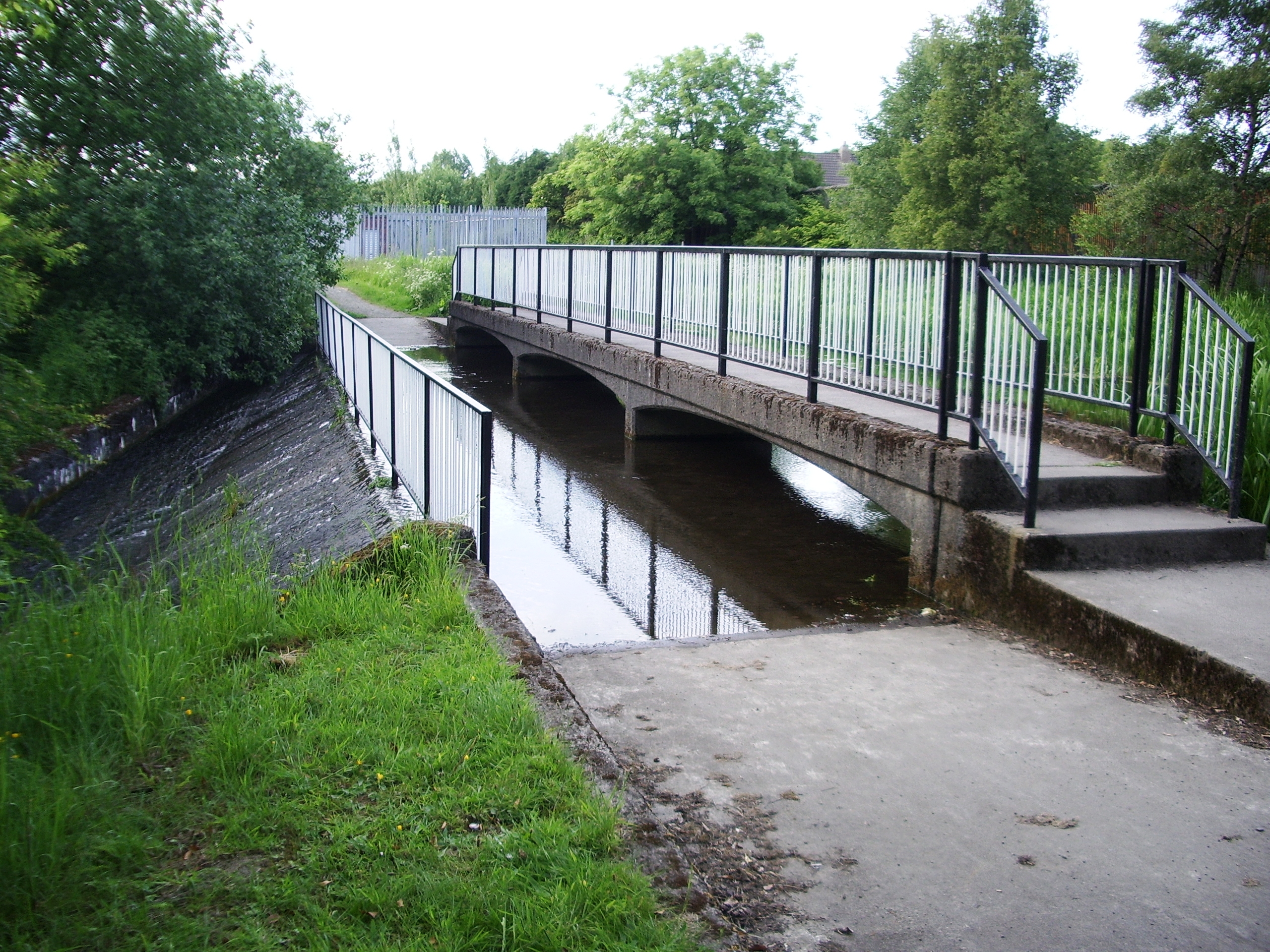
English: Monkland Canal at the Old Palacecraig weir. The canal is piped underground through Coatbridge, emerging at the Blair Road bridge. |
| Date | 16 June 2009 (original upload date) |
| Source | Transferred from en.wikipedia to Commons by ML5 using CommonsHelper. |
| Author | ML5 at English Wikipedia |
| Camera location | | View this and other nearby images on: OpenStreetMap |
|---|
Licensing edit
| This work has been released into the public domain by its author, ML5 at English Wikipedia. This applies worldwide. In some countries this may not be legally possible; if so: ML5 grants anyone the right to use this work for any purpose, without any conditions, unless such conditions are required by law. |
Original upload log edit
The original description page was here. All following user names refer to en.wikipedia.
- 2009-06-16 18:16 ML5 2560×1920× (3670272 bytes) [[Monkland Canal]] at the Old Palacecraig weir. Looking north at {{coord|55|51|2.7|N|3|59|41.4|W}}. The canal is piped underground through [[Coatbridge]], emerging at the Blair Road bridge [[File:MonklandCanalBlairRoad.JPG|20px|Blair Road bridge]].
File history
Click on a date/time to view the file as it appeared at that time.
| Date/Time | Thumbnail | Dimensions | User | Comment | |
|---|---|---|---|---|---|
| current | 16:35, 24 June 2009 | | 2,560 × 1,920 (3.5 MB) | File Upload Bot (Magnus Manske) (talk | contribs) | {{BotMoveToCommons|en.wikipedia|year={{subst:CURRENTYEAR}}|month={{subst:CURRENTMONTHNAME}}|day={{subst:CURRENTDAY}}}} {{Information |Description={{en|en:Monkland Canal at the Old Palacecraig weir. Looking north from . The canal is piped undergrou |
You cannot overwrite this file.
File usage on Commons
The following page uses this file:
File usage on other wikis
The following other wikis use this file:
- Usage on arz.wikipedia.org
- Usage on ceb.wikipedia.org
- Usage on en.wikipedia.org
- Usage on eu.wikipedia.org
- Usage on no.wikipedia.org
- Usage on www.wikidata.org