File:Mont Durand - Depuis Sorebois.jpg
Size of this preview: 400 × 600 pixels. Other resolutions: 160 × 240 pixels | 320 × 480 pixels | 512 × 768 pixels | 682 × 1,024 pixels | 2,038 × 3,057 pixels.
Original file (2,038 × 3,057 pixels, file size: 2.43 MB, MIME type: image/jpeg)
Captions
Captions
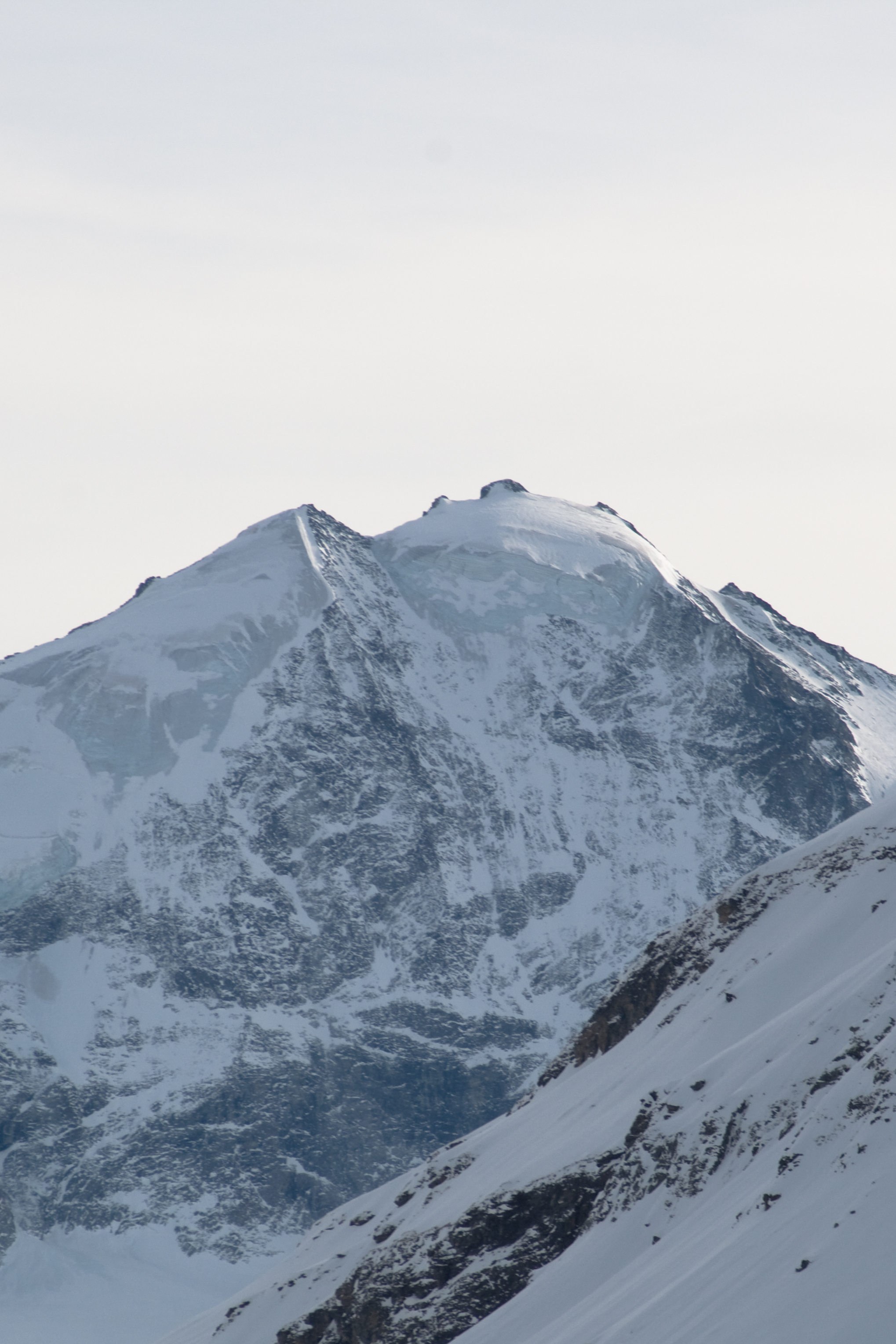
Mont Durand in the Valais Alps, seen from the slopes of the Corne de Sorebois
| Description |
Français : Le Mont Durand dans les Alpes valaisannes, vu depuis les pentes de la Corne de Sorebois. |
| Date | |
| Source | Own work |
| Author | Ludo29 |
| Permission (Reusing this file) |
Own work, share alike, attribution required (Creative Commons CC-BY-SA-3.0) |
| Camera location | | View this and other nearby images on: OpenStreetMap |
|---|
| Object location | | View this and other nearby images on: OpenStreetMap |
|---|
This file is licensed under the Creative Commons Attribution-Share Alike 3.0 Unported license.
- You are free:
- to share – to copy, distribute and transmit the work
- to remix – to adapt the work
- Under the following conditions:
- attribution – You must give appropriate credit, provide a link to the license, and indicate if changes were made. You may do so in any reasonable manner, but not in any way that suggests the licensor endorses you or your use.
- share alike – If you remix, transform, or build upon the material, you must distribute your contributions under the same or compatible license as the original.
File history
Click on a date/time to view the file as it appeared at that time.
| Date/Time | Thumbnail | Dimensions | User | Comment | |
|---|---|---|---|---|---|
| current | 20:57, 25 January 2010 | | 2,038 × 3,057 (2.43 MB) | Ludo29 (talk | contribs) | {{Information |Description={{fr|1=Le Mont Durand dans les Alpes valaisannes, vu depuis les pentes de la Corne de Sorebois.}} |Source={{own}} |Author=Ludo29 |Date=2010-01-24 |Permission= |other_versions= }} [[Category:M |
You cannot overwrite this file.
File usage on Commons
The following page uses this file:
File usage on other wikis
The following other wikis use this file:
- Usage on arz.wikipedia.org
- Usage on ceb.wikipedia.org
- Usage on de.wikipedia.org
- Usage on en.wikipedia.org
- Usage on fr.wikipedia.org
- Usage on it.wikipedia.org
- Usage on lld.wikipedia.org
- Usage on nn.wikipedia.org
- Usage on sv.wikipedia.org
- Usage on www.wikidata.org
- Usage on zh.wikipedia.org