File:Montross, Virginia (14484893324).jpg
Original file (4,000 × 3,000 pixels, file size: 2.92 MB, MIME type: image/jpeg)
Captions
Captions
Summary edit
.jpg&action=edit§ion=1)
| Description |
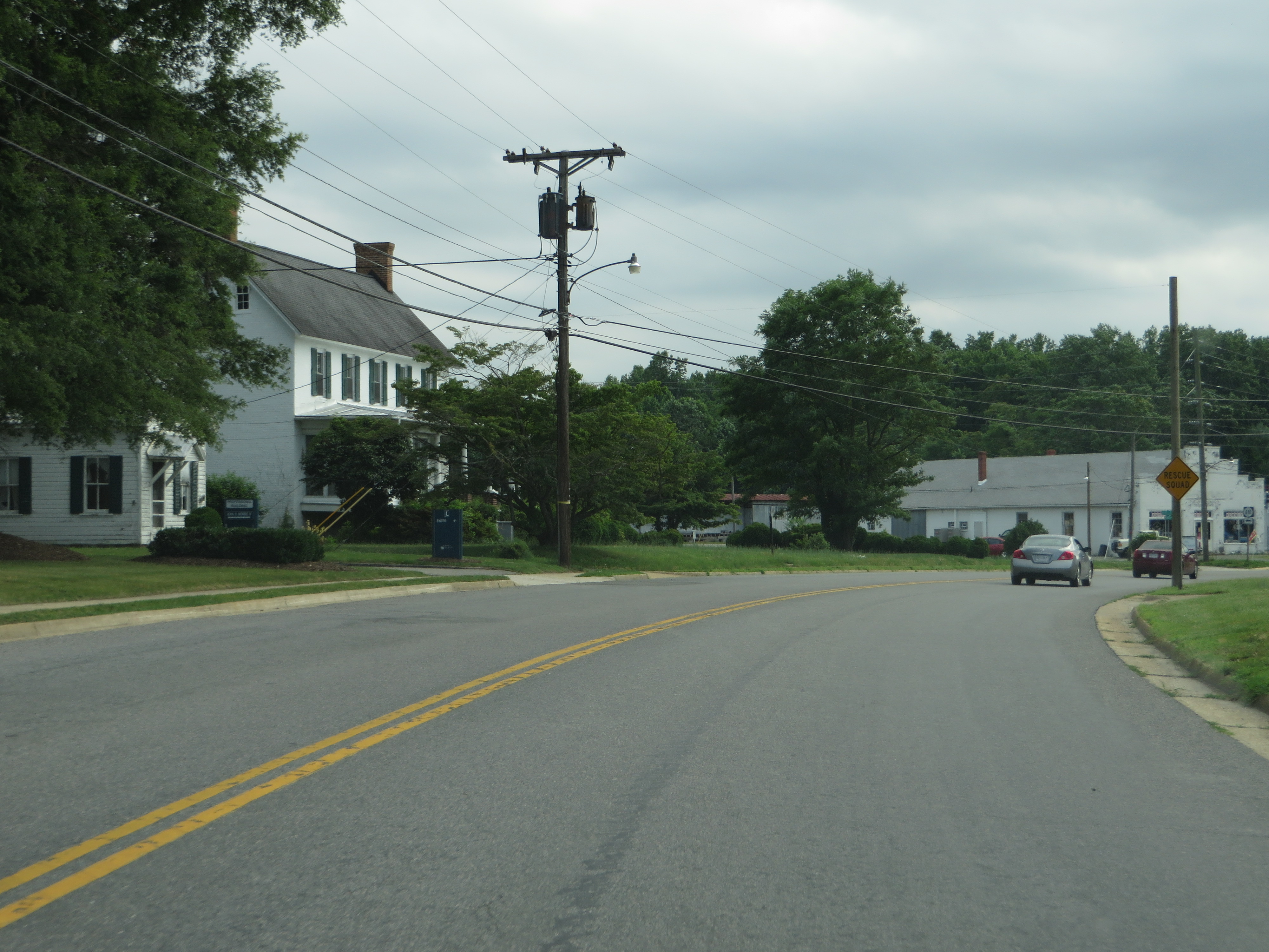
Montross is a town in Westmoreland County, Virginia, United States. The population was 315 at the 2000 census. It is the county seat of Westmoreland County. Located in the historic Northern Neck of Virginia, Montross is near the George Washington Birthplace National Monument and Stratford Hall Plantation (birthplace of Robert E. Lee, Richard Henry Lee, and Francis Lightfoot Lee). The Old Westmoreland Court House in Montross was the site of notable events in 1774–1775 connected with the Revolutionary War. According to an historic marker at the courthouse, a resolution was introduced by Richard Henry Lee and adopted at a meeting there on June 22, 1774, providing aid to Boston, Massachusetts, following a blockade of that beleaguered port city by Great Britain. The seizure in 1775 of the Virginia Colony's gunpowder supply in Williamsburg on orders of the Royal Governor, in what became known as the Gunpowder Incident, prompted the Westmoreland Committee of Safety to convene at the Court House on May 23, 1775. The committee passed a resolution denouncing the governor, Lord Dunmore, for his actions. Washington and Lee High School is located in the town. Emmy Award-winning video engineer Walter Balderson, who attended Washington and Lee High School, is from Montross. United States Congressman, Rob Wittman, lives in Montross. Virginia State Senator, Richard H. Stuart, was born and raised in Montross. The Armstead T. Johnson High School, Westmoreland State Park Historic District, and Panorama are listed on the National Register of Historic Places. en.wikipedia.org/wiki/Montross,_Virginia en.wikipedia.org/wiki/Wikipedia:Text_of_Creative_Commons_... |
| Date | |
| Source | Montross, Virginia |
| Author | Ken Lund from Reno, Nevada, USA |
| Camera location | | View this and other nearby images on: OpenStreetMap |
|---|
.jpg¶ms=038.093838_N_-076.829270_E_globe:Earth_type:camera_source:Flickr_&language=en)
Licensing edit
.jpg&action=edit§ion=2)
- You are free:
- to share – to copy, distribute and transmit the work
- to remix – to adapt the work
- Under the following conditions:
- attribution – You must give appropriate credit, provide a link to the license, and indicate if changes were made. You may do so in any reasonable manner, but not in any way that suggests the licensor endorses you or your use.
- share alike – If you remix, transform, or build upon the material, you must distribute your contributions under the same or compatible license as the original.
| This image was originally posted to Flickr by Ken Lund at https://flickr.com/photos/75683070@N00/14484893324. It was reviewed on 6 April 2016 by FlickreviewR and was confirmed to be licensed under the terms of the cc-by-sa-2.0. |
File history
Click on a date/time to view the file as it appeared at that time.
| Date/Time | Thumbnail | Dimensions | User | Comment | |
|---|---|---|---|---|---|
| current | 17:32, 6 April 2016 | | 4,000 × 3,000 (2.92 MB) | Ser Amantio di Nicolao (talk | contribs) | Transferred from Flickr via Flickr2Commons |
You cannot overwrite this file.
File usage on Commons
There are no pages that use this file.
.jpg&oldid=575743763)