File:Moor Lane Farm, Copmanthorpe, York - geograph.org.uk - 324200.jpg
No higher resolution available.
Moor_Lane_Farm,_Copmanthorpe,_York_-_geograph.org.uk_-_324200.jpg (640 × 480 pixels, file size: 68 KB, MIME type: image/jpeg)
Captions
Captions
Add a one-line explanation of what this file represents
Summary
edit
| Description |
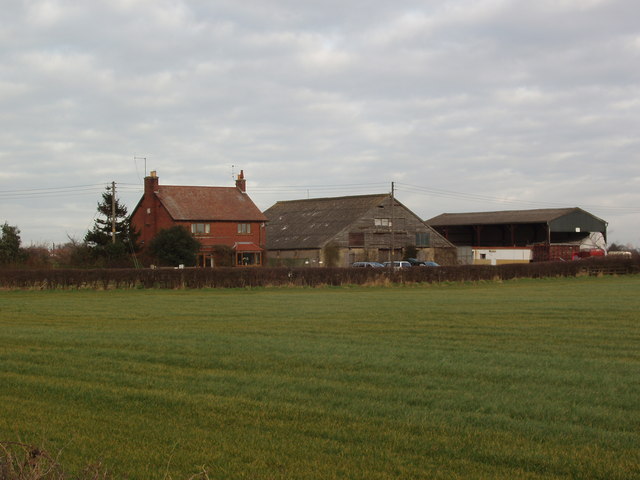
English: Moor Lane Farm, Copmanthorpe, York Moor Lane Farm is situated on the "wrong" side of a now closed railway level crossing on the East Coast Main Line, as it heads away from York in the direction of Doncaster. At this point Leeds and trans-pennine traffic also shares the ECML. Access to Moor Lane Farm and other properties further along Moor Lane is now by a new section of lane, which leads from the bridge at Station Road and runs parallel with the track until it links with the original South section of Moor Lane at the level crossing site. |
| Date | |
| Source | From geograph.org.uk |
| Author | Robert Neilson |
| Attribution (required by the license) | Robert Neilson / Moor Lane Farm, Copmanthorpe, York / |
| Camera location | | View this and other nearby images on: OpenStreetMap |
|---|
_heading:45.00&language=en)
| Object location | | View this and other nearby images on: OpenStreetMap |
|---|
_heading:45.00&language=en)
Licensing
edit

|
This image was taken from the Geograph project collection. See this photograph's page on the Geograph website for the photographer's contact details. The copyright on this image is owned by Robert Neilson and is licensed for reuse under the Creative Commons Attribution-ShareAlike 2.0 license.
|
This file is licensed under the Creative Commons Attribution-Share Alike 2.0 Generic license.
Attribution: Robert Neilson
- You are free:
- to share – to copy, distribute and transmit the work
- to remix – to adapt the work
- Under the following conditions:
- attribution – You must give appropriate credit, provide a link to the license, and indicate if changes were made. You may do so in any reasonable manner, but not in any way that suggests the licensor endorses you or your use.
- share alike – If you remix, transform, or build upon the material, you must distribute your contributions under the same or compatible license as the original.
File history
Click on a date/time to view the file as it appeared at that time.
| Date/Time | Thumbnail | Dimensions | User | Comment | |
|---|---|---|---|---|---|
| current | 19:01, 30 December 2010 | | 640 × 480 (68 KB) | GeographBot (talk | contribs) | == {{int:filedesc}} == {{Information |description={{en|1=Moor Lane Farm, Copmanthorpe, York Moor Lane Farm is situated on the "wrong" side of a now closed railway level crossing on the East Coast Main Line, as it heads away from York in the direction of D |
You cannot overwrite this file.
File usage on Commons
There are no pages that use this file.