File:Morgan City Louisiana aerial view.jpg

Size of this preview: 800 × 533 pixels. Other resolutions: 320 × 213 pixels | 640 × 427 pixels | 1,024 × 683 pixels | 1,500 × 1,000 pixels.
Original file (1,500 × 1,000 pixels, file size: 622 KB, MIME type: image/jpeg)
Captions
Captions
Add a one-line explanation of what this file represents
| Description |
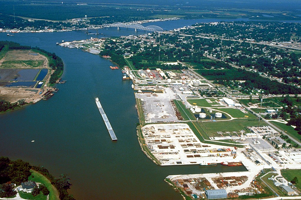
English: Aerial view of the port of Morgan City, Louisiana, USA. The Atchafalaya River flows from right to left in the background. These waterways are part of the Gulf Intracoastal Waterway. View is to the west. |
|||
| Date | ||||
| Source |
U.S. Army Corps of Engineers Digital Visual Library Image page Image description page Digital Visual Library home page |
|||
| Author | Arthur Belala, U.S. Army Corps of Engineers | |||
| Permission (Reusing this file) |
|
|||
| Location | Morgan City, Louisiana, USA |
| Camera location | | View this and other nearby images on: OpenStreetMap |
|---|
File history
Click on a date/time to view the file as it appeared at that time.
| Date/Time | Thumbnail | Dimensions | User | Comment | |
|---|---|---|---|---|---|
| current | 05:43, 1 April 2007 | | 1,500 × 1,000 (622 KB) | DanMS (talk | contribs) | {{Information | Description = {{en|Aerial view of the port of Morgan City, Louisiana, USA. The Atchafalaya River flows from right to left in the background. These waterways are part of the Gulf Intracoastal Waterway.}} | Source = U.S. Army Corp |
You cannot overwrite this file.
File usage on Commons
There are no pages that use this file.
File usage on other wikis
The following other wikis use this file:
- Usage on azb.wikipedia.org
- Usage on ceb.wikipedia.org
- Usage on de.wikipedia.org
- Usage on fa.wikipedia.org
- Usage on fi.wikipedia.org
- Usage on fr.wikipedia.org
- Usage on it.wikipedia.org
- Usage on nl.wikipedia.org
- Usage on pl.wikipedia.org
- Usage on pt.wikipedia.org
- Usage on sh.wikipedia.org
- Usage on sr.wikipedia.org
- Usage on tr.wikipedia.org
- Usage on uk.wikipedia.org
- Usage on zh-min-nan.wikipedia.org