File:Mount Camber.jpg
Size of this preview: 800 × 389 pixels. Other resolutions: 320 × 155 pixels | 640 × 311 pixels | 1,024 × 497 pixels | 1,280 × 622 pixels | 2,460 × 1,195 pixels.
Original file (2,460 × 1,195 pixels, file size: 835 KB, MIME type: image/jpeg)
Captions
Captions
Add a one-line explanation of what this file represents
Summary
edit
| Description |
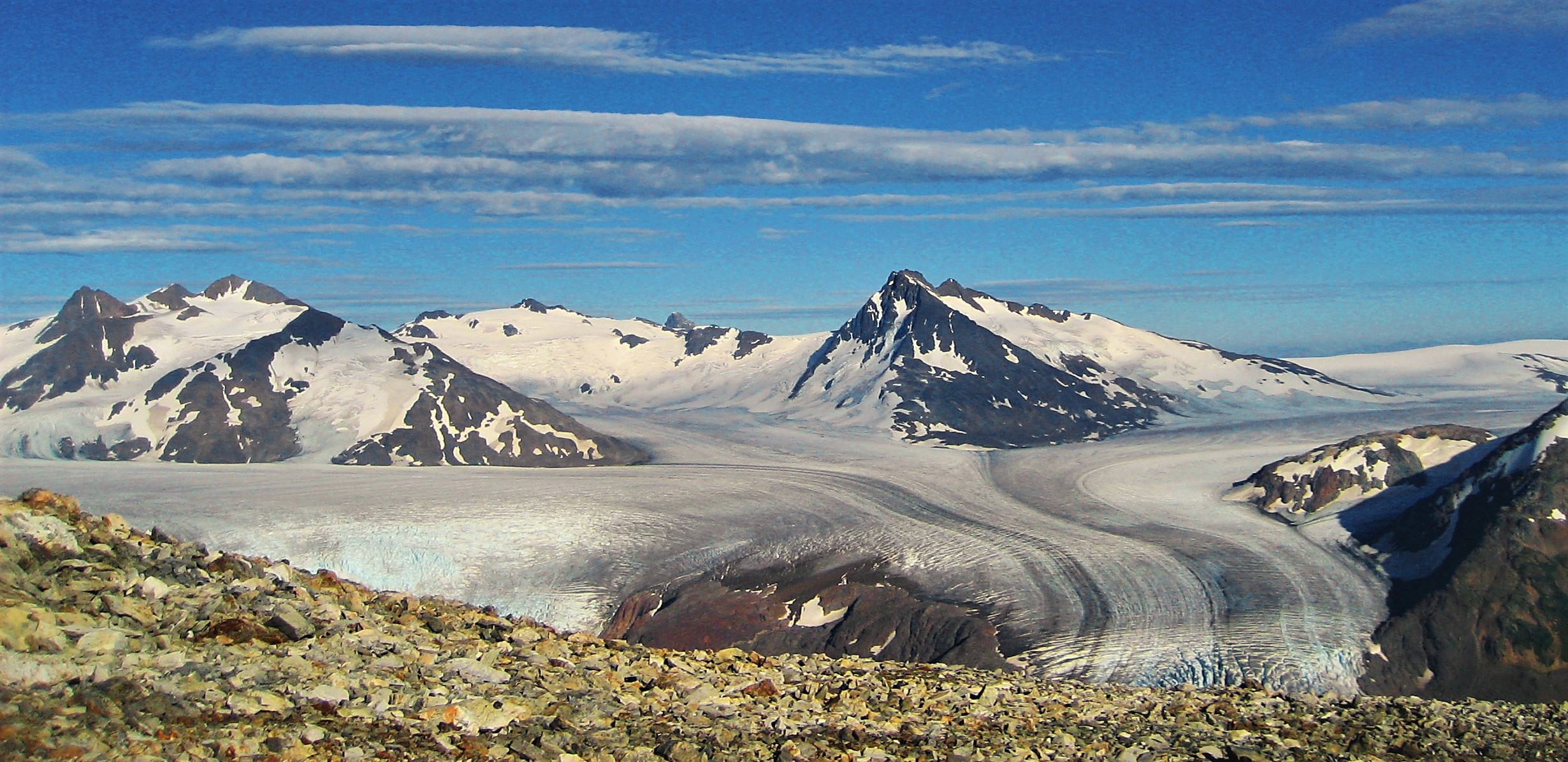
English: West aspect of Mount Camber in British Columbia, Canada. Elevation is 2,506 meters, or 8,222 feet. Summit to left. |
| Date | |
| Source | https://www.flickr.com/photos/jitze1942/4930290739/ |
| Author | Jitze Couperus |
| Camera location | | View this and other nearby images on: OpenStreetMap |
|---|
Licensing
edit
This file is licensed under the Creative Commons Attribution 2.0 Generic license.
- You are free:
- to share – to copy, distribute and transmit the work
- to remix – to adapt the work
- Under the following conditions:
- attribution – You must give appropriate credit, provide a link to the license, and indicate if changes were made. You may do so in any reasonable manner, but not in any way that suggests the licensor endorses you or your use.
| This image was originally posted to Flickr by jitze at https://flickr.com/photos/40648743@N00/4930290739. It was reviewed on 9 May 2022 by FlickreviewR 2 and was confirmed to be licensed under the terms of the cc-by-2.0. |
| Annotations | This image is annotated: View the annotations at Commons |
File history
Click on a date/time to view the file as it appeared at that time.
| Date/Time | Thumbnail | Dimensions | User | Comment | |
|---|---|---|---|---|---|
| current | 09:46, 9 May 2022 | | 2,460 × 1,195 (835 KB) | Ron Clausen (talk | contribs) | crop, exposure |
| 09:42, 9 May 2022 |  | 2,816 × 1,629 (982 KB) | Ron Clausen (talk | contribs) | Uploaded a work by Jitze Couperus from https://www.flickr.com/photos/jitze1942/4930290739/ with UploadWizard |
You cannot overwrite this file.
File usage on Commons
The following page uses this file:
File usage on other wikis
The following other wikis use this file:
- Usage on en.wikipedia.org