File:Mount Hpan Pu.jpg

Size of this preview: 800 × 450 pixels. Other resolutions: 320 × 180 pixels | 640 × 360 pixels | 1,024 × 576 pixels | 1,280 × 720 pixels | 2,560 × 1,439 pixels | 4,624 × 2,600 pixels.
Original file (4,624 × 2,600 pixels, file size: 2.79 MB, MIME type: image/jpeg)
Captions
Captions
Mount Hpan Pu
Summary
edit
| Description |
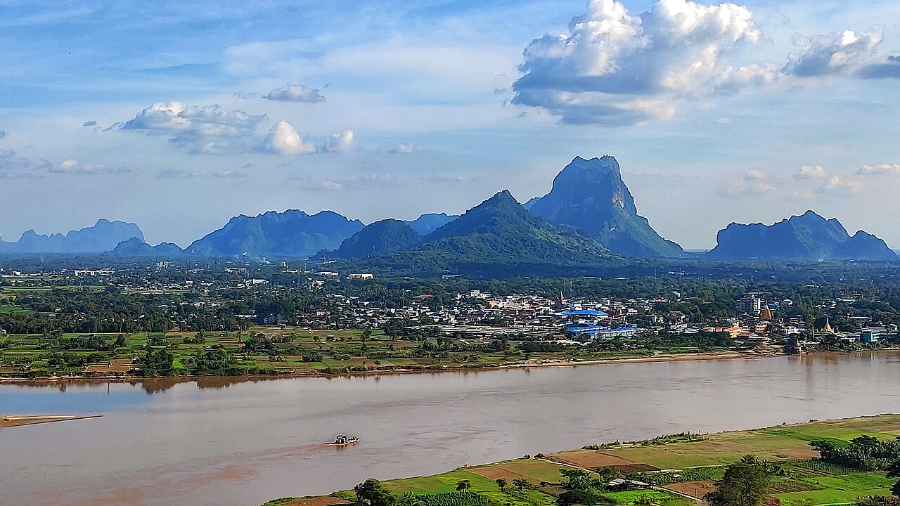
English: Mount Hpan Pu (also spelled as Hpar Pu or Hpa Pu, ဖားပုတောင်) is a hill that is high at 2500 metres (8202 ft), located to the east of Hpa-An, Kayin State in Myanmar. |
| Date | |
| Source | Own work |
| Author | Nyi Thuta Hpa-an |
Licensing
edit
I, the copyright holder of this work, hereby publish it under the following license:
This file is licensed under the Creative Commons Attribution-Share Alike 4.0 International license.
- You are free:
- to share – to copy, distribute and transmit the work
- to remix – to adapt the work
- Under the following conditions:
- attribution – You must give appropriate credit, provide a link to the license, and indicate if changes were made. You may do so in any reasonable manner, but not in any way that suggests the licensor endorses you or your use.
- share alike – If you remix, transform, or build upon the material, you must distribute your contributions under the same or compatible license as the original.
File history
Click on a date/time to view the file as it appeared at that time.
| Date/Time | Thumbnail | Dimensions | User | Comment | |
|---|---|---|---|---|---|
| current | 21:01, 23 October 2022 | | 4,624 × 2,600 (2.79 MB) | Nyi Thuta Hpa-an (talk | contribs) | Uploaded own work with UploadWizard |
You cannot overwrite this file.
File usage on Commons
The following page uses this file:
File usage on other wikis
The following other wikis use this file:
- Usage on en.wikipedia.org