File:Mouth of Merrimack 1.JPG

Size of this preview: 800 × 600 pixels. Other resolutions: 320 × 240 pixels | 640 × 480 pixels | 1,024 × 768 pixels | 1,280 × 960 pixels | 2,560 × 1,920 pixels | 4,000 × 3,000 pixels.
Original file (4,000 × 3,000 pixels, file size: 2.64 MB, MIME type: image/jpeg)
Captions
Captions
Add a one-line explanation of what this file represents
Summary
edit
| Description |
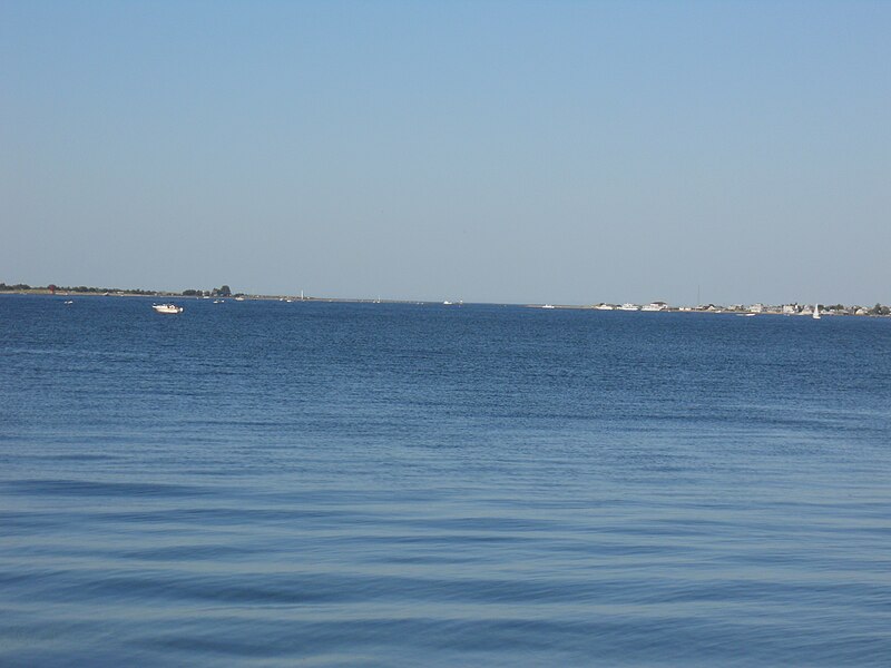
English: Mouth of the Merrimack River seen across Newburyport Harbor from Joppa Park. Plum Island Village is on the right; Salisbury Beach on the left. This mouth is an artificial channel designed to bypass the old mouth to the right, which was blocked by a sand bar. The island and the village filled in across the old mouth. The channel remains as dangerous as any, due to swift currents and shallow water. |
| Date | |
| Source | Own work |
| Author | Botteville |
Licensing
edit
| I, the copyright holder of this work, release this work into the public domain. This applies worldwide. In some countries this may not be legally possible; if so: I grant anyone the right to use this work for any purpose, without any conditions, unless such conditions are required by law. |
File history
Click on a date/time to view the file as it appeared at that time.
| Date/Time | Thumbnail | Dimensions | User | Comment | |
|---|---|---|---|---|---|
| current | 16:31, 17 July 2010 | | 4,000 × 3,000 (2.64 MB) | Botteville (talk | contribs) | {{Information |Description={{en|1=Mouth of the Merrimack River seen across Newburyport Harbor from Joppa Park. Plum Island Village is on the right; Salisbury Beach on the left. This mouth is an artificial channel designed to bypass the old mouth to the ri |
You cannot overwrite this file.
File usage on Commons
There are no pages that use this file.