File:Mt. Shasta - panoramio (2).jpg
Size of this preview: 800 × 378 pixels. Other resolutions: 320 × 151 pixels | 640 × 302 pixels | 1,024 × 484 pixels | 1,280 × 605 pixels | 3,865 × 1,826 pixels.
Original file (3,865 × 1,826 pixels, file size: 4.76 MB, MIME type: image/jpeg)
Captions
Captions
Add a one-line explanation of what this file represents
Summary edit
.jpg&action=edit§ion=1)
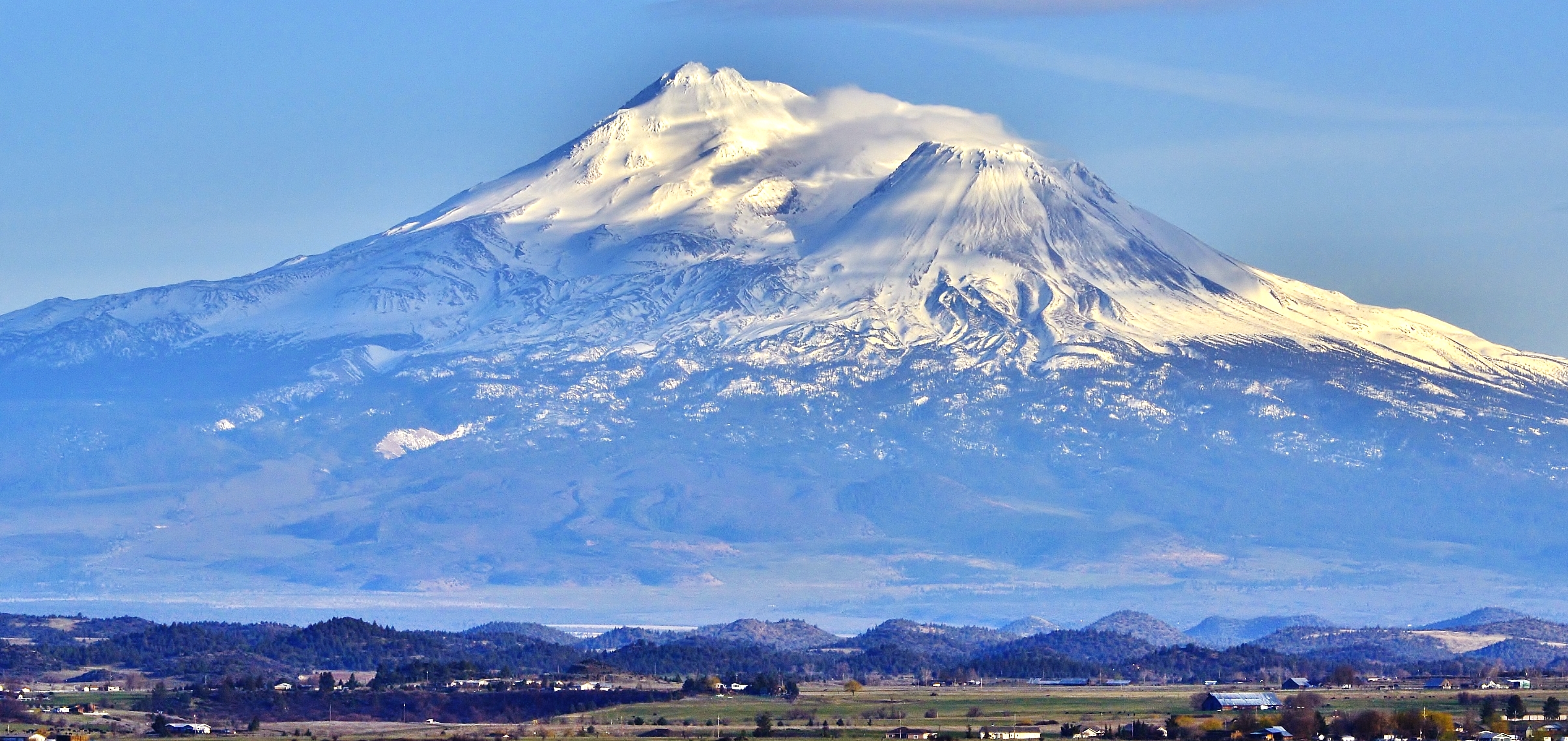
| Description | Mt. Shasta | ||
| Date | Taken on 2 April 2012 | ||
| Source | https://web.archive.org/web/20161024095159/http://www.panoramio.com/photo/76012695 | ||
| Author | On^ste82 | ||
| Permission (Reusing this file) |
This file is licensed under the Creative Commons Attribution 3.0 Unported license. Attribution: On^ste82
|
||
| Tags (from Panoramio photo page) | Yreka |
| Camera location | | View this and other nearby images on: OpenStreetMap |
|---|
.jpg¶ms=041.750825_N_-122.612976_E_globe:Earth_type:camera_source:Panoramio_&language=en)
File history
Click on a date/time to view the file as it appeared at that time.
| Date/Time | Thumbnail | Dimensions | User | Comment | |
|---|---|---|---|---|---|
| current | 13:28, 9 January 2017 | | 3,865 × 1,826 (4.76 MB) | Panoramio upload bot (talk | contribs) | == {{int:filedesc}} == {{Information |description=Mt. Shasta |date={{Taken on|2012-04-02}} |source=http://www.panoramio.com/photo/76012695 |author=[http://www.panoramio.com/user/6881465?with_photo_id=76012695 On^ste82] |permission={{cc-by-3.0|On^ste82}... |
You cannot overwrite this file.
File usage on Commons
There are no pages that use this file.
File usage on other wikis
The following other wikis use this file:
- Usage on uk.wikipedia.org
.jpg&oldid=624624849)