File:Mt Sefton NZ. (8401716744).jpg
Size of this preview: 800 × 531 pixels. Other resolutions: 320 × 213 pixels | 640 × 425 pixels | 1,024 × 680 pixels | 1,280 × 850 pixels | 3,000 × 1,993 pixels.
Original file (3,000 × 1,993 pixels, file size: 4.41 MB, MIME type: image/jpeg)
Captions
Captions
Add a one-line explanation of what this file represents
Summary edit
.jpg&action=edit§ion=1)
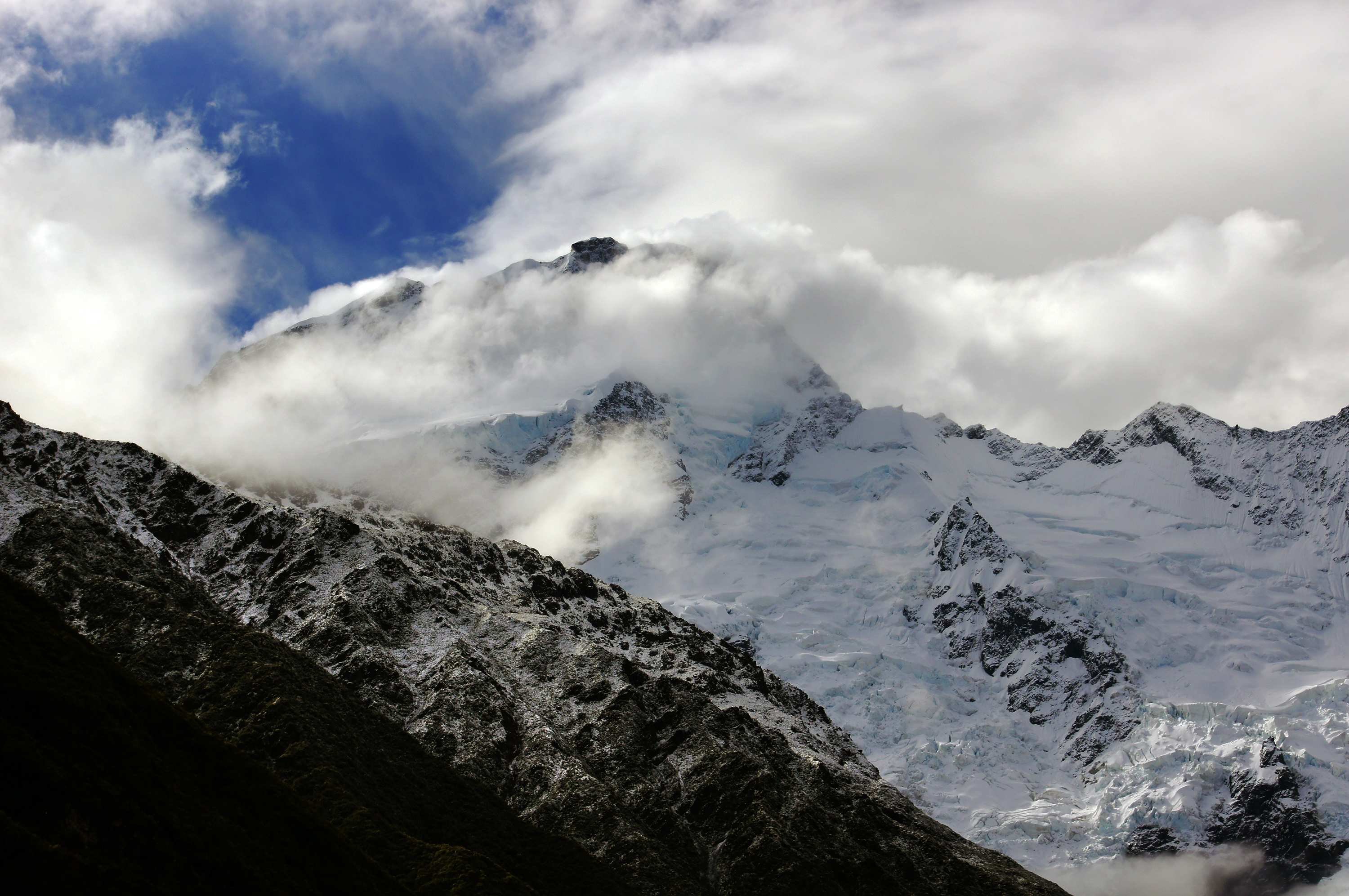
| Description | Mount Sefton is a mountain in the Aroarokaehe Range of the Southern Alps of New Zealand, just 12 kilometres south of Aoraki / Mount Cook. To the south lies Mount Brunner, and to the north The Footstool, both more than 400 metres shorter. |
| Date | |
| Source | Mt Sefton NZ. |
| Author | Bernard Spragg. NZ from Christchurch, New Zealand |
| Camera location | | View this and other nearby images on: OpenStreetMap |
|---|
.jpg¶ms=-43.716527_N_0170.103034_E_globe:Earth_type:camera_source:Flickr_&language=en)
Licensing edit
.jpg&action=edit§ion=2)
| This file is made available under the Creative Commons CC0 1.0 Universal Public Domain Dedication. | |
| The person who associated a work with this deed has dedicated the work to the public domain by waiving all of their rights to the work worldwide under copyright law, including all related and neighboring rights, to the extent allowed by law. You can copy, modify, distribute and perform the work, even for commercial purposes, all without asking permission.
|
| This image was originally posted to Flickr by Bernard Spragg at https://flickr.com/photos/88123769@N02/8401716744 (archive). It was reviewed on 10 July 2018 by FlickreviewR 2 and was confirmed to be licensed under the terms of the cc-zero. |
File history
Click on a date/time to view the file as it appeared at that time.
| Date/Time | Thumbnail | Dimensions | User | Comment | |
|---|---|---|---|---|---|
| current | 09:26, 10 July 2018 | | 3,000 × 1,993 (4.41 MB) | Thesupermat2 (talk | contribs) | Transferred from Flickr via #flickr2commons |
You cannot overwrite this file.
File usage on Commons
There are no pages that use this file.
.jpg&oldid=489807087)