File:Mu Ko Ang Thong National Park Surat Thani - panoramio (1).jpg
Size of this preview: 800 × 600 pixels. Other resolutions: 320 × 240 pixels | 640 × 480 pixels | 1,024 × 768 pixels | 1,280 × 960 pixels | 1,632 × 1,224 pixels.
Original file (1,632 × 1,224 pixels, file size: 384 KB, MIME type: image/jpeg)
Captions
Captions
Add a one-line explanation of what this file represents
Summary
edit.jpg&action=edit§ion=1)
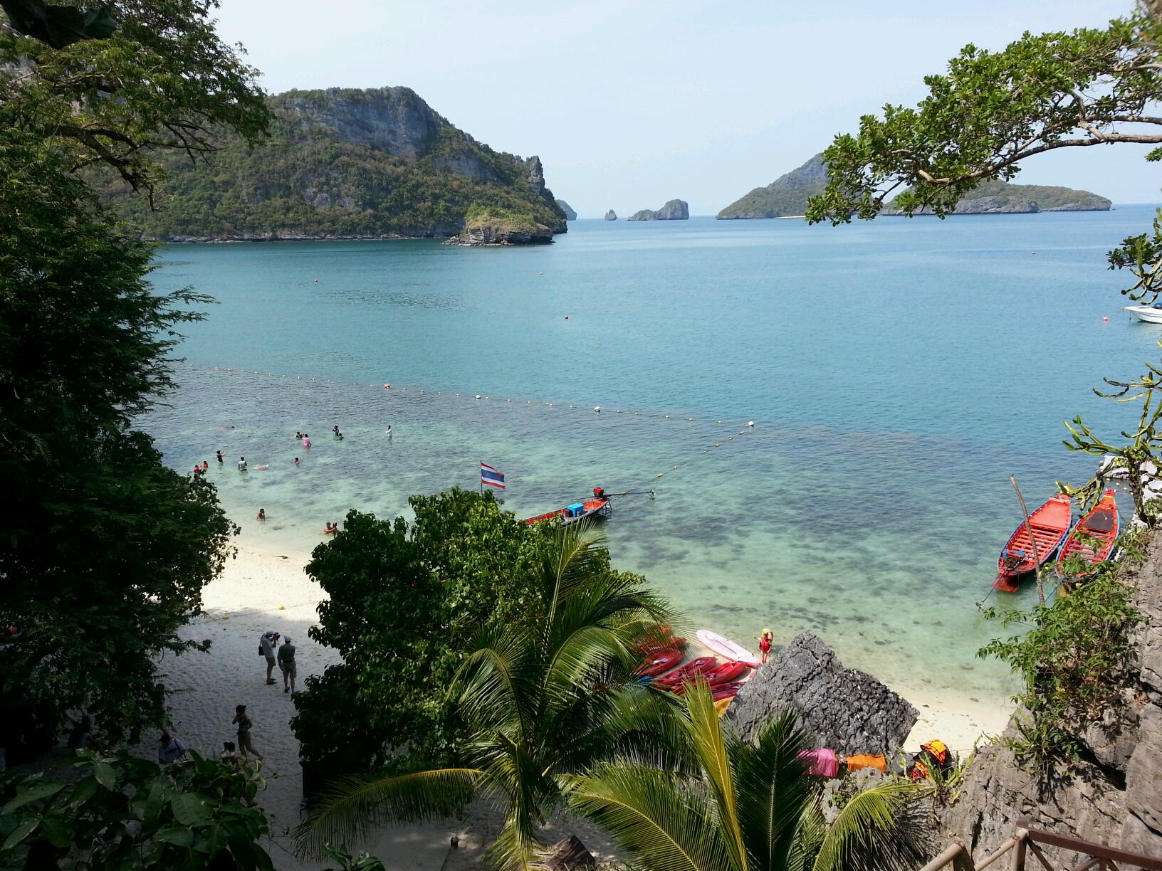
| Description | Mu Ko Ang Thong National Park Surat Thani | ||
| Date | 6 April 2013 (original upload date) | ||
| Source | https://web.archive.org/web/20161103011917/http://www.panoramio.com/photo/88417962 | ||
| Author | Maris Teteris | ||
| Permission (Reusing this file) |
This file is licensed under the Creative Commons Attribution 3.0 Unported license. Attribution: Maris Teteris
|
||
| Tags (from Panoramio photo page) | Ko Samui, 2013, Ko Samui, Mu Ko Ang Thong National Park, Surat Thani, Thailand |
| Camera location | | View this and other nearby images on: OpenStreetMap |
|---|
.jpg¶ms=009.658250_N_0099.666274_E_globe:Earth_type:camera_source:Panoramio_&language=en)
File history
Click on a date/time to view the file as it appeared at that time.
| Date/Time | Thumbnail | Dimensions | User | Comment | |
|---|---|---|---|---|---|
| current | 06:57, 17 February 2017 | | 1,632 × 1,224 (384 KB) | Panoramio upload bot (talk | contribs) | == {{int:filedesc}} == {{Information |description=Mu Ko Ang Thong National Park Surat Thani |date={{Original upload date|2013-04-06}} |source=http://www.panoramio.com/photo/88417962 |author=[http://www.panoramio.com/user/1763701?with_photo_id=88417962... |
You cannot overwrite this file.
File usage on Commons
There are no pages that use this file.
.jpg&oldid=705923146)