File:Muddy Water Red desert.jpg
Size of this preview: 800 × 600 pixels. Other resolutions: 320 × 240 pixels | 640 × 480 pixels | 1,024 × 768 pixels | 1,280 × 960 pixels | 2,560 × 1,920 pixels.
Original file (2,560 × 1,920 pixels, file size: 2.23 MB, MIME type: image/jpeg)
Captions
Captions
Add a one-line explanation of what this file represents
Summary
edit
| Description |
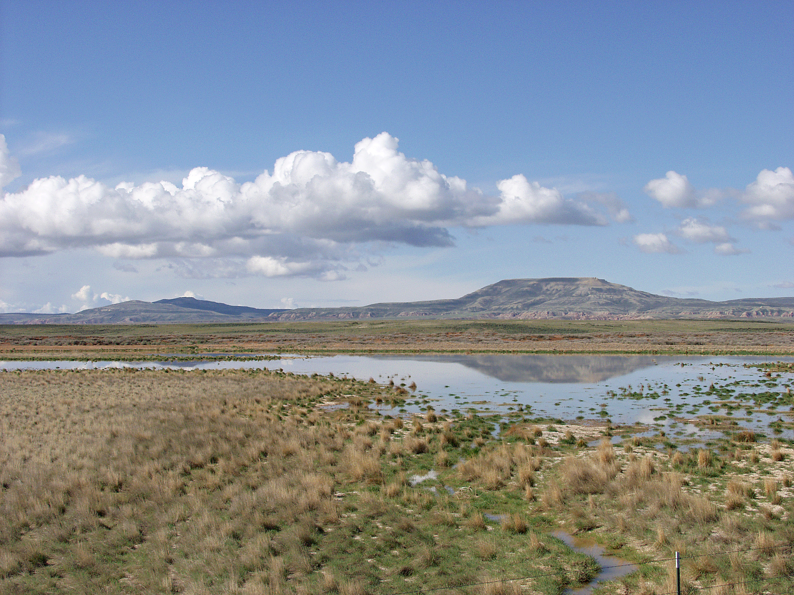
English: Melting snowpack is the primary source for surface water in Wyoming, such as this emphemeral wetland in the Muddy Creek Watershed of the Red Desert. This stretch of rangeland is typical of the vast expanses of publicly owned rangeland that aerial remote sensing is particularly well-adapted to. |
| Date | Unknown date |
| Source | http://www.ars.usda.gov/is/graphics/photos/feb06/d423-1.htm |
| Author | US Department of Agriculture. Sam Cox |
| Permission (Reusing this file) |
US Federal Government work |
Licensing
edit
| This image is in the public domain because it contains materials that originally came from the Agricultural Research Service, the research agency of the United States Department of Agriculture.
|
File history
Click on a date/time to view the file as it appeared at that time.
| Date/Time | Thumbnail | Dimensions | User | Comment | |
|---|---|---|---|---|---|
| current | 17:05, 21 April 2009 | | 2,560 × 1,920 (2.23 MB) | Fishdecoy (talk | contribs) | {{Information |Description={{en|1=This stretch of rangeland in the Muddy Creek Watershed in Wyoming’s Red Desert is typical of the vast expanses of publicly owned rangeland that aerial remote sensing is particularly well-adapted to.}} |Source=http://www |
You cannot overwrite this file.
File usage on Commons
The following page uses this file:
File usage on other wikis
The following other wikis use this file:
- Usage on ar.wikipedia.org
- Usage on arz.wikipedia.org
- Usage on ca.wikipedia.org
- Usage on ceb.wikipedia.org
- Usage on cs.wikipedia.org
- Usage on en.wikipedia.org
- Usage on fa.wikipedia.org
- Usage on fr.wikipedia.org
- Usage on it.wikipedia.org
- Usage on ka.wikipedia.org
- Usage on lt.wikipedia.org
- Usage on vi.wikipedia.org
- Usage on www.wikidata.org