File:Mullerova mapa Cech 12.jpg

Size of this preview: 693 × 600 pixels. Other resolutions: 277 × 240 pixels | 554 × 480 pixels | 887 × 768 pixels | 1,183 × 1,024 pixels | 2,366 × 2,048 pixels | 6,818 × 5,903 pixels.
Original file (6,818 × 5,903 pixels, file size: 15.65 MB, MIME type: image/jpeg)
Captions
Captions
Add a one-line explanation of what this file represents
Summary
edit| Description |
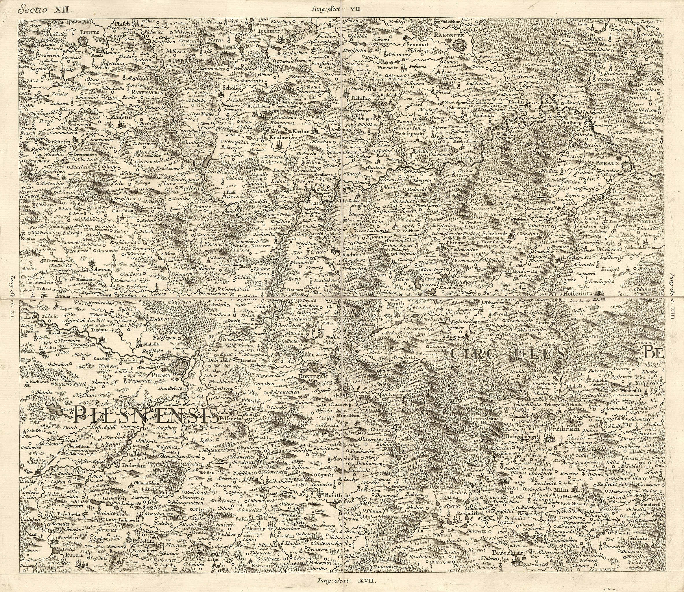
Čeština: Müllerova mapa Čech z roku 1720. Sekce XII
English: Müller's map of Bohemia. |
|||||||||||||||||||
| Date | ||||||||||||||||||||
| Source | Müllerova mapa Čech z roku 1720. Cimélie Mapové sbírky Historického ústavu AV ČR na CD-ROM | |||||||||||||||||||
| Author |
|
|||||||||||||||||||
Licensing
edit|
This work is in the public domain in its country of origin and other countries and areas where the copyright term is the author's life plus 100 years or fewer. | |
| This file has been identified as being free of known restrictions under copyright law, including all related and neighboring rights. | |

File history
Click on a date/time to view the file as it appeared at that time.
| Date/Time | Thumbnail | Dimensions | User | Comment | |
|---|---|---|---|---|---|
| current | 05:58, 28 February 2013 | | 6,818 × 5,903 (15.65 MB) | Octopus moldavicus (talk | contribs) | VicuñaUploader 1.16 |
You cannot overwrite this file.
File usage on Commons
The following page uses this file:
File usage on other wikis
The following other wikis use this file:
- Usage on cs.wikipedia.org
- Usage on de.wikipedia.org