File:Municipios del Bajío.svg

Size of this PNG preview of this SVG file: 800 × 510 pixels. Other resolutions: 320 × 204 pixels | 640 × 408 pixels | 1,024 × 652 pixels | 1,280 × 815 pixels | 2,560 × 1,630 pixels | 53,094 × 33,815 pixels.
Original file (SVG file, nominally 53,094 × 33,815 pixels, file size: 11.35 MB)
Captions
Captions
Add a one-line explanation of what this file represents
Summary edit
| Description |
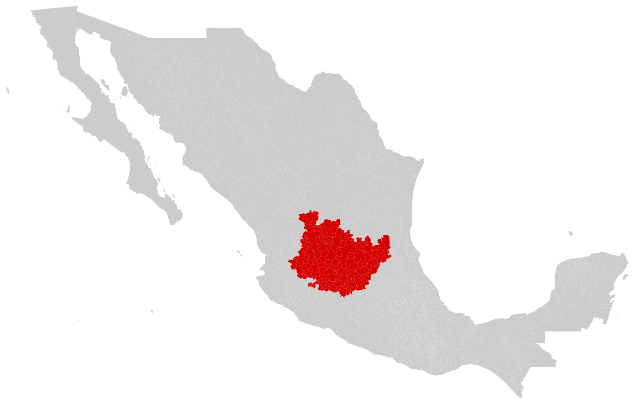
Español: Mapa de los municipios que conforman el Bajío como se muestra en: Unger, K.; Ibarra J. E.; Garduño, R. (2013). Especializaciones reveladas y ventajas competitivas del Bajío mexicano. CIDE. Y en: González y González, L. (1988). Michoacán. Lagos azules y fuertes montañas (sexta ed.). Secretaría de Educación Pública. |
| Date | |
| Source | Own work |
| Author | Pedro H. Vega |
Licensing edit
I, the copyright holder of this work, hereby publish it under the following license:
This file is licensed under the Creative Commons Attribution-Share Alike 4.0 International license.
- You are free:
- to share – to copy, distribute and transmit the work
- to remix – to adapt the work
- Under the following conditions:
- attribution – You must give appropriate credit, provide a link to the license, and indicate if changes were made. You may do so in any reasonable manner, but not in any way that suggests the licensor endorses you or your use.
- share alike – If you remix, transform, or build upon the material, you must distribute your contributions under the same or compatible license as the original.
File history
Click on a date/time to view the file as it appeared at that time.
| Date/Time | Thumbnail | Dimensions | User | Comment | |
|---|---|---|---|---|---|
| current | 22:13, 21 October 2023 | | 53,094 × 33,815 (11.35 MB) | Pedro H. Vega (talk | contribs) | Uploaded own work with UploadWizard |
You cannot overwrite this file.
File usage on Commons
There are no pages that use this file.