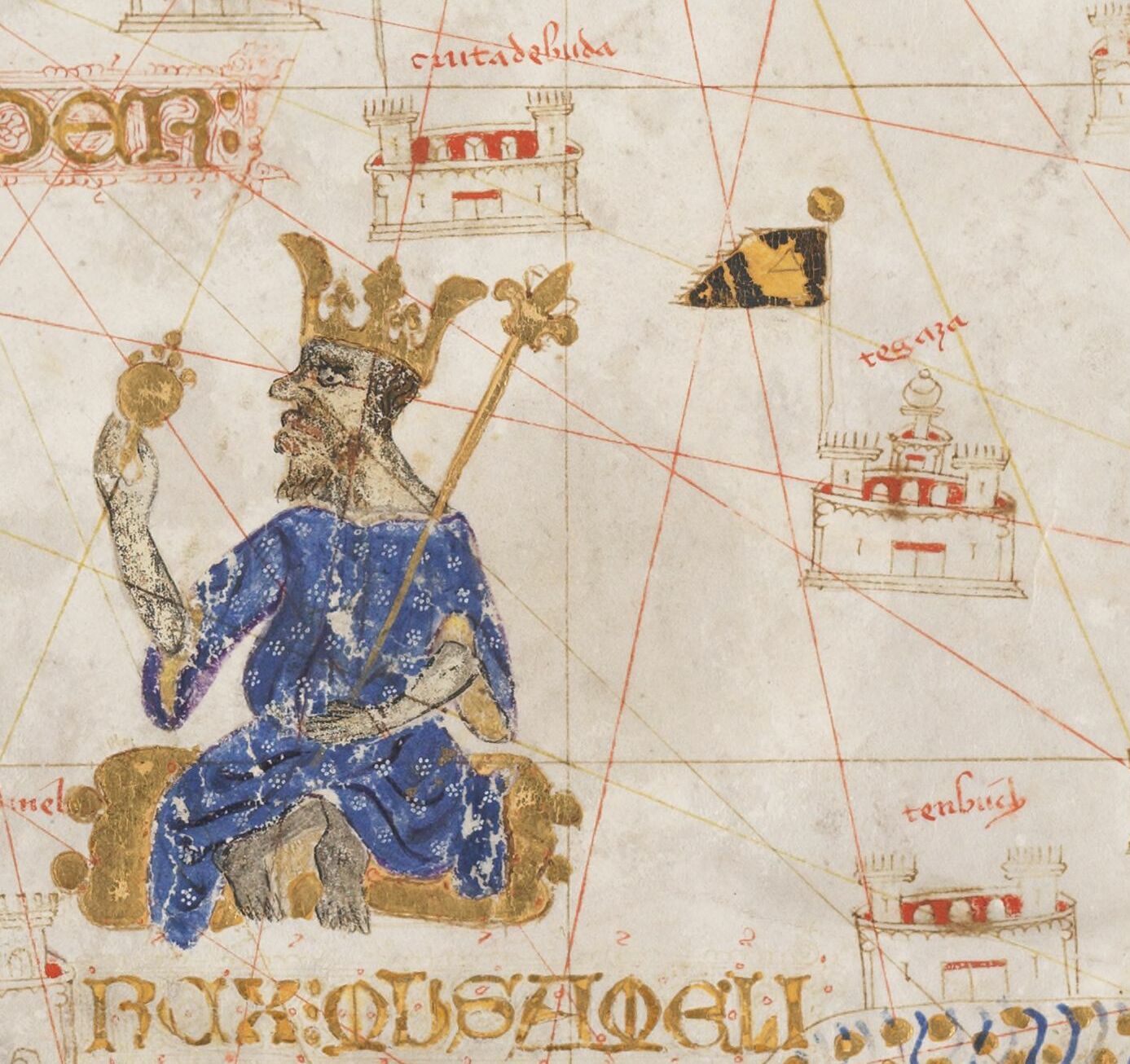
File:Mussa Melli and Timbuktu Cropped from 1413 Portolan chart by Mecia de Viladestes.jpg
Size of this preview: 637 × 600 pixels. Other resolutions: 255 × 240 pixels | 510 × 480 pixels | 816 × 768 pixels | 1,088 × 1,024 pixels | 1,387 × 1,306 pixels.
Original file (1,387 × 1,306 pixels, file size: 281 KB, MIME type: image/jpeg)
Captions
Captions
Add a one-line explanation of what this file represents
Summary
edit| Warning | The original file is very high-resolution. It might not load properly or could cause your browser to freeze when opened at full size. |
|---|
| Description |
English: 1413 Portolan chart by Mecia de Viladestes - Carte marine de l'océan Atlantique Nord-Est, de la mer Méditerranée, de la mer Noire, de la mer Rouge, d'une partie de la mer Caspienne, du golfe Persique et de la mer Baltique |
||
| Date | |||
| Source |
|
||
| Author | Mecia de Viladestes (13..-14..). Cartographe | ||
| Other versions |

Licensing
edit
|
This work is in the public domain in its country of origin and other countries and areas where the copyright term is the author's life plus 70 years or fewer. This work is in the public domain in the United States because it was published (or registered with the U.S. Copyright Office) before January 1, 1929. | |
| This file has been identified as being free of known restrictions under copyright law, including all related and neighboring rights. | |
File history
Click on a date/time to view the file as it appeared at that time.
| Date/Time | Thumbnail | Dimensions | User | Comment | |
|---|---|---|---|---|---|
| current | 20:02, 27 November 2023 | | 1,387 × 1,306 (281 KB) | Kognos (talk | contribs) | File:1413 Portolan chart by Mecia de Viladestes - Carte marine de l'océan Atlantique Nord-Est, de la mer Méditerranée, de la mer Noire, de la mer Rouge, d'une partie de la mer Caspienne, du golfe Persique et de la mer Baltique.jpg cropped 90 % horizontally, 87 % vertically using CropTool with precise mode. |
You cannot overwrite this file.
File usage on Commons
The following 2 pages use this file:
File usage on other wikis
The following other wikis use this file:
- Usage on en.wikipedia.org