File:MyanmarAdministrativeDivisionsBlank.svg

Size of this PNG preview of this SVG file: 273 × 600 pixels. Other resolutions: 109 × 240 pixels | 218 × 480 pixels | 349 × 768 pixels | 466 × 1,024 pixels | 932 × 2,048 pixels | 600 × 1,318 pixels.
Original file (SVG file, nominally 600 × 1,318 pixels, file size: 80 KB)
Captions
Captions
Add a one-line explanation of what this file represents
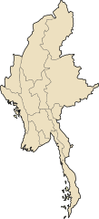
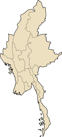
| Description | Blank map showing the administrative divisions of Myanmar. Based on Image:MyanmarAdministrativeDivisions.svg, which is colored and labels the regions. Each region is its own object, so coloring is easy. This version is a good basis for SVG locator maps | ||||||||
| Date | |||||||||
| Source | Image:MyanmarAdministrativeDivisions.svg, a SVG map by User:Xyzzy n under the GFDL. That map is based on a PNG by User:Hintha | ||||||||
| Author | Hintha, Xyzzy n, and Superm401 | ||||||||
| Permission (Reusing this file) |
|

File history
Click on a date/time to view the file as it appeared at that time.
| Date/Time | Thumbnail | Dimensions | User | Comment | |
|---|---|---|---|---|---|
| current | 02:32, 21 January 2008 | | 600 × 1,318 (80 KB) | Mattflaschen (talk | contribs) | {{Information |Description=Blank map showing the administrative divisions of Myanmar. Based on Image:MyanmarAdministrativeDivisions.svg, which is colored and labels the regions. Each region is its own object, so each region can be easily colored. |
You cannot overwrite this file.
File usage on Commons
There are no pages that use this file.