File:Năvodari, kilometroŝtono, 1.jpeg

Size of this preview: 400 × 600 pixels. Other resolutions: 160 × 240 pixels | 320 × 480 pixels | 512 × 768 pixels | 682 × 1,024 pixels | 2,448 × 3,672 pixels.
Original file (2,448 × 3,672 pixels, file size: 2.46 MB, MIME type: image/jpeg)
Captions
Captions
Add a one-line explanation of what this file represents
Summary edit
| Description |
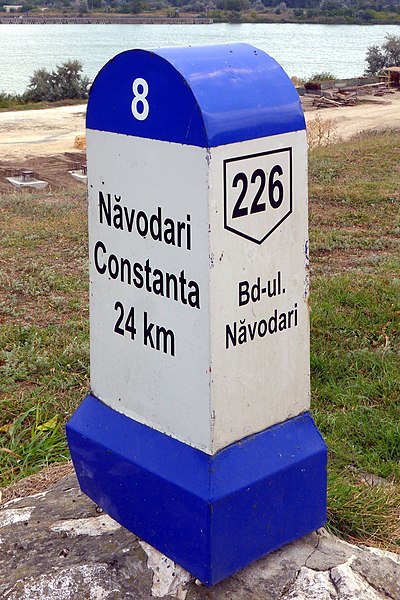
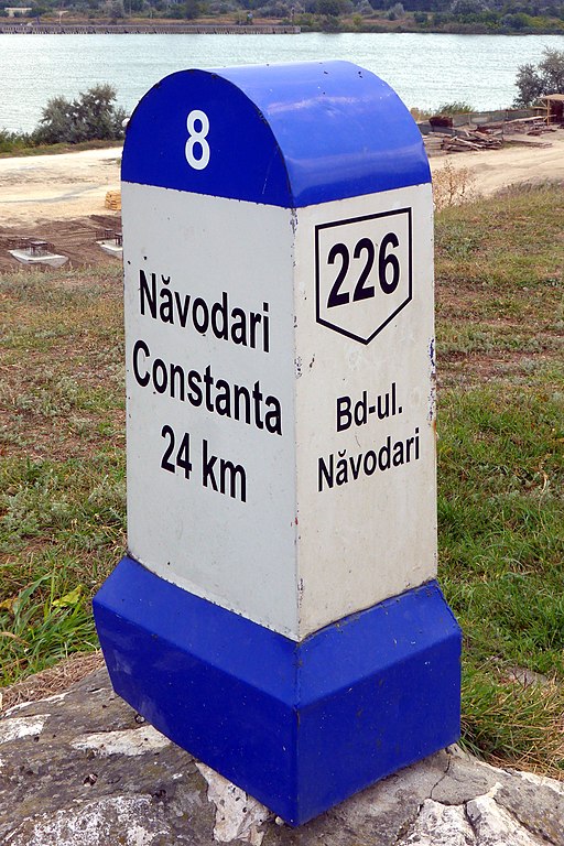
Deutsch: Kilometerstein an der Kreisstraße DJ 226 in Năvodari (Kreis Konstanza, RO).
Esperanto: Kilometra ŝtono ĉe la distrika vojo DJ 226 en Năvodari (distrikto Konstanco, RO).
Română: Indicator kilometric la DJ 226 la Năvodari (județ Constanța). |
| Date | |
| Source | Self-photographed |
| Author | Aisano |
| Camera location | | View this and other nearby images on: OpenStreetMap |
|---|
Licensing edit
This file is licensed under the Creative Commons Attribution-Share Alike 4.0 International license.
- You are free:
- to share – to copy, distribute and transmit the work
- to remix – to adapt the work
- Under the following conditions:
- attribution – You must give appropriate credit, provide a link to the license, and indicate if changes were made. You may do so in any reasonable manner, but not in any way that suggests the licensor endorses you or your use.
- share alike – If you remix, transform, or build upon the material, you must distribute your contributions under the same or compatible license as the original.
File history
Click on a date/time to view the file as it appeared at that time.
| Date/Time | Thumbnail | Dimensions | User | Comment | |
|---|---|---|---|---|---|
| current | 15:19, 31 January 2015 | | 2,448 × 3,672 (2.46 MB) | Renardo la vulpo (talk | contribs) | {{Information |Description ={{de|1=Kilometerstein an der Kreisstraße DJ 226 in Năvodari (Kreis Konstanza, RO).}} {{eo|1=Kilometra ŝtono ĉe la distrika vojo DJ 226 en Năvodari (distrikto Konstanco, RO).}} {{ro|1=Indicator kilometric la DJ 226 la... |
You cannot overwrite this file.
File usage on Commons
The following page uses this file:
File usage on other wikis
The following other wikis use this file:
- Usage on de.wikipedia.org