File:N-47.svg

Size of this PNG preview of this SVG file: 600 × 600 pixels. Other resolutions: 240 × 240 pixels | 480 × 480 pixels | 768 × 768 pixels | 1,024 × 1,024 pixels | 2,048 × 2,048 pixels.
Original file (SVG file, nominally 600 × 600 pixels, file size: 123 KB)
Captions
Captions
Add a one-line explanation of what this file represents
Summary edit
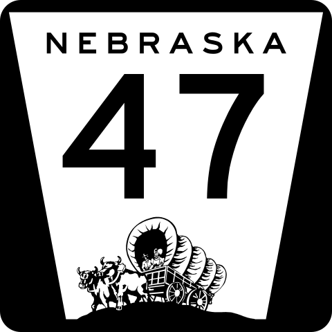
| Description | Nebraska state highway route marker |
| Date | |
| Source | http://www.nebraskatransportation.org/traffeng/sos/2011-NE-Supplement-to-MUTCD.pdf |
| Author | Fredddie, originally by Scott Onson |
Licensing edit
This file is in the public domain because it comes from the State of Nebraska Supplement to the Manual on Uniform Traffic Control Devices, sign number M1-5, which states on p. ii that "this manual consists of the 2009 edition of the Manual on Uniform Traffic Control Devices for Streets and Highways (herein referred to as the MUTCD) adopted by the Federal Highway Administrator as a National Standard for application on all classes of highways, subject to such modifications as is set forth in this supplement." The federal MUTCD states specifically on its page I-1 that:
No provisions of the supplement modify this provision of the MUTCD. |
 |
File history
Click on a date/time to view the file as it appeared at that time.
| Date/Time | Thumbnail | Dimensions | User | Comment | |
|---|---|---|---|---|---|
| current | 19:39, 3 March 2012 | | 600 × 600 (123 KB) | Fredddie (talk | contribs) | |
| 23:25, 4 October 2006 |  | 1,728 × 1,760 (1.35 MB) | Master son (talk | contribs) | {{Information| |Description=Nebraska state Highway marker. Uses the FHWA font (type D for 1 digit routes, type C for 2d, type 3 for 3d |Source=http://www.nebraskatransportation.org/traffeng/mutcd/m1-3signs.pdf |Date=10/4/2006 |Author=Scott Onson |Permiss |
You cannot overwrite this file.
File usage on Commons
The following 3 pages use this file:
File usage on other wikis
The following other wikis use this file:
- Usage on en.wikipedia.org
- Furnas County, Nebraska
- Dawson County, Nebraska
- Custer County, Nebraska
- Nebraska Highway 50
- List of highways numbered 47
- Interstate 80 in Nebraska
- U.S. Route 6 in Nebraska
- Nebraska Highway 23
- User:Master son/US Roads/Sub
- Nebraska Highway 40
- Nebraska Highway 46
- Nebraska Highway 47
- U.S. Route 30 in Nebraska
- Nebraska Highway 89
- U.S. Route 34 in Nebraska
- List of state highways in Nebraska
- User:Stratosphere/Sandbox
- Wikipedia:WikiProject U.S. Roads/Redirects/Nebraska
- Usage on es.wikipedia.org
- Usage on fr.wikipedia.org
- Usage on ru.wikipedia.org
- Usage on www.wikidata.org
- Usage on zh-min-nan.wikipedia.org