File:N.Sansonas d'Abbevillis, Lietuvos dalies žemėlapis 1665 m., Vilkmergės pavietas.png
No higher resolution available.
N.Sansonas_d'Abbevillis,_Lietuvos_dalies_žemėlapis_1665_m.,_Vilkmergės_pavietas.png (518 × 540 pixels, file size: 552 KB, MIME type: image/png)
Captions
Captions
Add a one-line explanation of what this file represents
Summary
edit| Description |
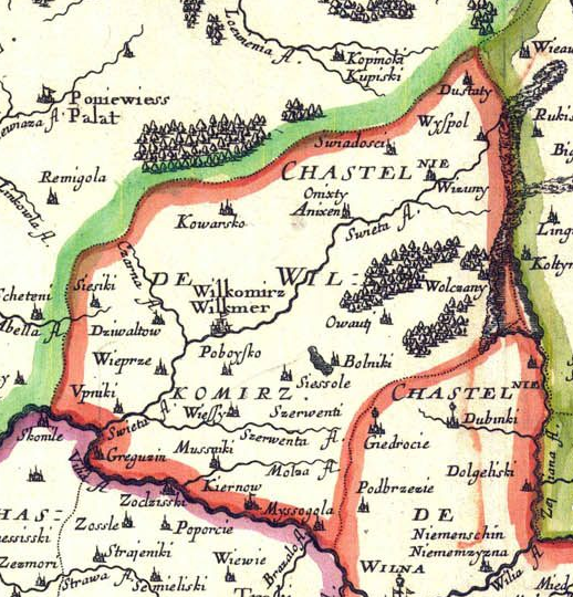
Lietuvių: Lietuvos dalies žemėlapis 1665 m. (Vilniaus ir Trakų vaivadijos) |
||||||||||||||||||||||||||
| Date | |||||||||||||||||||||||||||
| Source | http://maps4u.lt/lt/maps.php?img=Partie_de_Lithuanie_Wilna_Troki_1669&w=600&h=400&zoom=&cat=11 | ||||||||||||||||||||||||||
| Author |
|
||||||||||||||||||||||||||

Licensing
edit
|
This work is in the public domain in its country of origin and other countries and areas where the copyright term is the author's life plus 100 years or fewer. | |
| This file has been identified as being free of known restrictions under copyright law, including all related and neighboring rights. | |
File history
Click on a date/time to view the file as it appeared at that time.
| Date/Time | Thumbnail | Dimensions | User | Comment | |
|---|---|---|---|---|---|
| current | 08:18, 5 March 2011 | | 518 × 540 (552 KB) | Liutaurasu (talk | contribs) | {{Information |Description ={{lt|1=Lietuvos dalies žemėlapis 1665 m. (Vilniaus ir Trakų vaivadijos)}} |Source =http://maps4u.lt/lt/maps.php?img=Partie_de_Lithuanie_Wilna_Troki_1669&w=600&h=400&zoom=&cat=11 |Author =Nicolas Sanson |Da |
You cannot overwrite this file.
File usage on Commons
There are no pages that use this file.
File usage on other wikis
The following other wikis use this file:
- Usage on de.wikipedia.org
- Usage on en.wikipedia.org
- Usage on fr.wikipedia.org
- Usage on it.wikipedia.org
- Usage on lt.wikipedia.org
- Usage on lt.wikibooks.org