File:NB 17.svg

Size of this PNG preview of this SVG file: 600 × 600 pixels. Other resolutions: 240 × 240 pixels | 480 × 480 pixels | 768 × 768 pixels | 1,024 × 1,024 pixels | 2,048 × 2,048 pixels | 601 × 601 pixels.
Original file (SVG file, nominally 601 × 601 pixels, file size: 181 KB)
Captions
Captions
Add a one-line explanation of what this file represents
Summary
edit
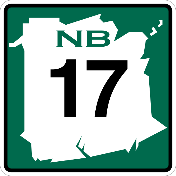
| Description | New Brunswick highway route marker |
| Date | |
| Source | Own work |
| Author | Fredddie and Michael J (NB shape) |
Licensing
edit
| This image of simple geometry is ineligible for copyright and therefore in the public domain, because it consists entirely of information that is common property and contains no original authorship. |  |
File history
Click on a date/time to view the file as it appeared at that time.
| Date/Time | Thumbnail | Dimensions | User | Comment | |
|---|---|---|---|---|---|
| current | 23:13, 8 December 2012 | | 601 × 601 (181 KB) | Fredddie (talk | contribs) |
You cannot overwrite this file.
File usage on Commons
The following 3 pages use this file:
File usage on other wikis
The following other wikis use this file:
- Usage on bn.wikipedia.org
- Usage on de.wikipedia.org
- Usage on en.wikipedia.org
- Madawaska County, New Brunswick
- Restigouche County, New Brunswick
- Victoria County, New Brunswick
- List of New Brunswick provincial highways
- New Brunswick Route 95
- New Brunswick Route 11
- New Brunswick Route 2
- List of highways numbered 17
- New Brunswick Route 16
- New Brunswick Route 17
- Saint-Quentin, New Brunswick
- Kedgwick, New Brunswick
- Addington Parish, New Brunswick
- List of crossings of the Saint John River
- Adams Gulch, New Brunswick
- Dawsonville, New Brunswick
- Glencoe, Restigouche County
- Glenwood, Restigouche County
- Menneval, New Brunswick
- Robinsonville, New Brunswick
- National Highway System (Canada)
- New Brunswick Route 134
- New Brunswick Route 275
- New Brunswick Route 265
- New Brunswick Route 260
- New Brunswick Route 180
- New Brunswick Route 144
- New Brunswick Route 255
- Glen Levit, New Brunswick
- Camp Harmony, New Brunswick
- Wyers Brook, New Brunswick
- Squaw Cap, New Brunswick
- Eldon Parish, New Brunswick
- Saint-Jean-Baptiste-de-Restigouche
- Grimmer Parish, New Brunswick
- Whites Brook, New Brunswick
- Rang-Sept, New Brunswick
- Rang-Double-Sud, New Brunswick
- Saint-Quentin Parish, New Brunswick
- Van Buren–St. Leonard Border Crossing
- Upsalquitch, New Brunswick
- Usage on fa.wikipedia.org
- Usage on fr.wikipedia.org
View more global usage of this file.