File:NB IS2.JPG
Size of this preview: 800 × 533 pixels. Other resolutions: 320 × 213 pixels | 640 × 427 pixels | 1,024 × 683 pixels | 1,280 × 853 pixels | 2,560 × 1,707 pixels | 3,648 × 2,432 pixels.
Original file (3,648 × 2,432 pixels, file size: 3.6 MB, MIME type: image/jpeg)
Captions
Captions
Add a one-line explanation of what this file represents
Summary edit
| Description |
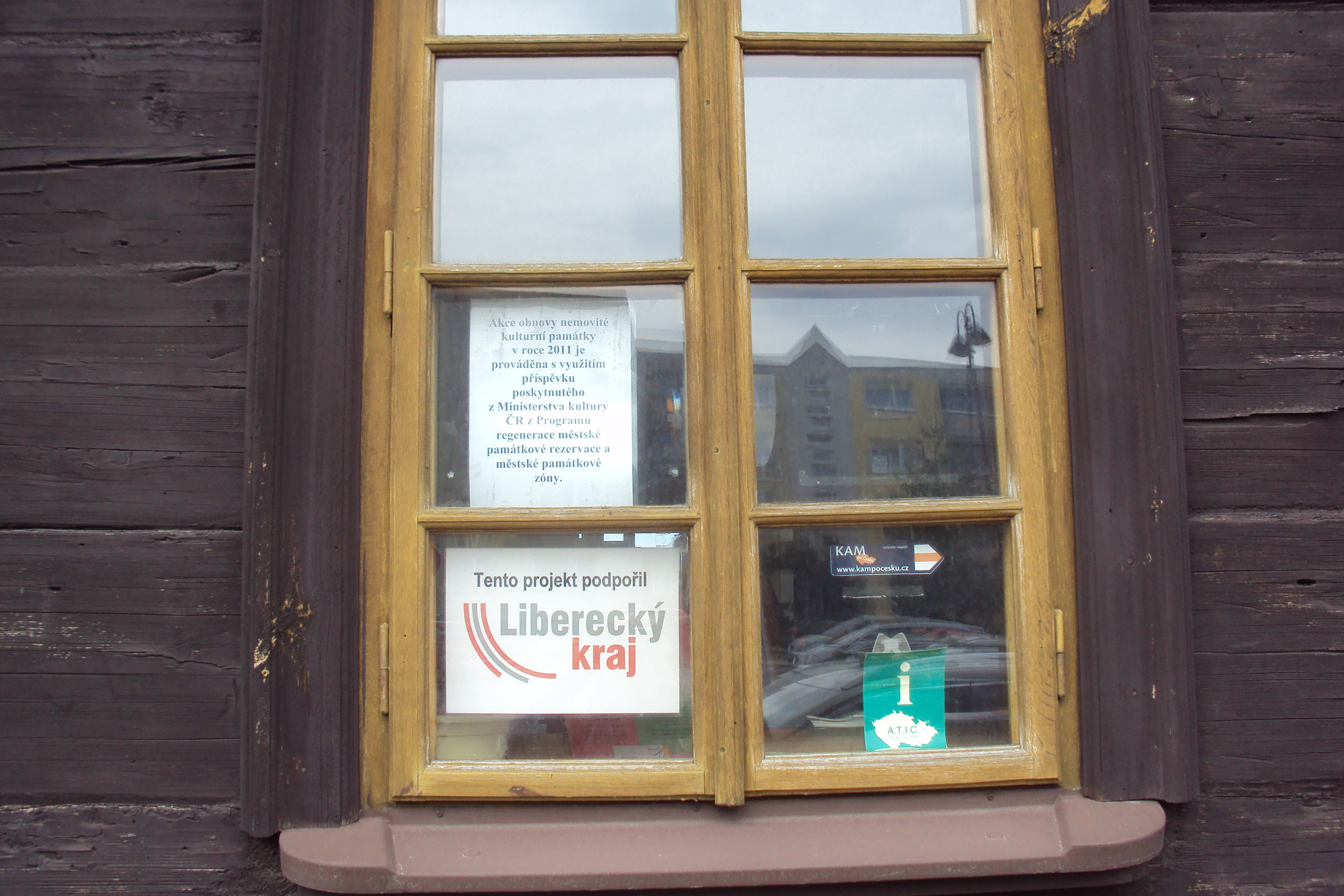
Čeština: Informační středisko Nového Boru je v chráněné budově čp.46 na třídě T.G.Masaryka |
| Date | |
| Source | Own work |
| Author | Zákupák |
| Camera location | | View this and other nearby images on: OpenStreetMap |
|---|
Licensing edit
| I, the copyright holder of this work, release this work into the public domain. This applies worldwide. In some countries this may not be legally possible; if so: I grant anyone the right to use this work for any purpose, without any conditions, unless such conditions are required by law. |
File history
Click on a date/time to view the file as it appeared at that time.
| Date/Time | Thumbnail | Dimensions | User | Comment | |
|---|---|---|---|---|---|
| current | 03:21, 21 April 2012 | | 3,648 × 2,432 (3.6 MB) | Zákupák (talk | contribs) | {{Information |Description ={{cs|1=Informační středisko Nového Boru je v chráněné budově čp.46 na třídě T.G.Masaryka}} |Source ={{own}} |Author =Zákupák |Date =2012-04-19 |Permission = |... |
You cannot overwrite this file.
File usage on Commons
There are no pages that use this file.