File:NB US ALT 17 and US 21 near Castle Hill Rd.jpg
Size of this preview: 800 × 600 pixels. Other resolutions: 320 × 240 pixels | 640 × 480 pixels | 1,024 × 768 pixels | 1,280 × 960 pixels | 2,560 × 1,920 pixels | 3,648 × 2,736 pixels.
Original file (3,648 × 2,736 pixels, file size: 2.45 MB, MIME type: image/jpeg)
Captions
Captions
Add a one-line explanation of what this file represents
Summary edit
| Description |
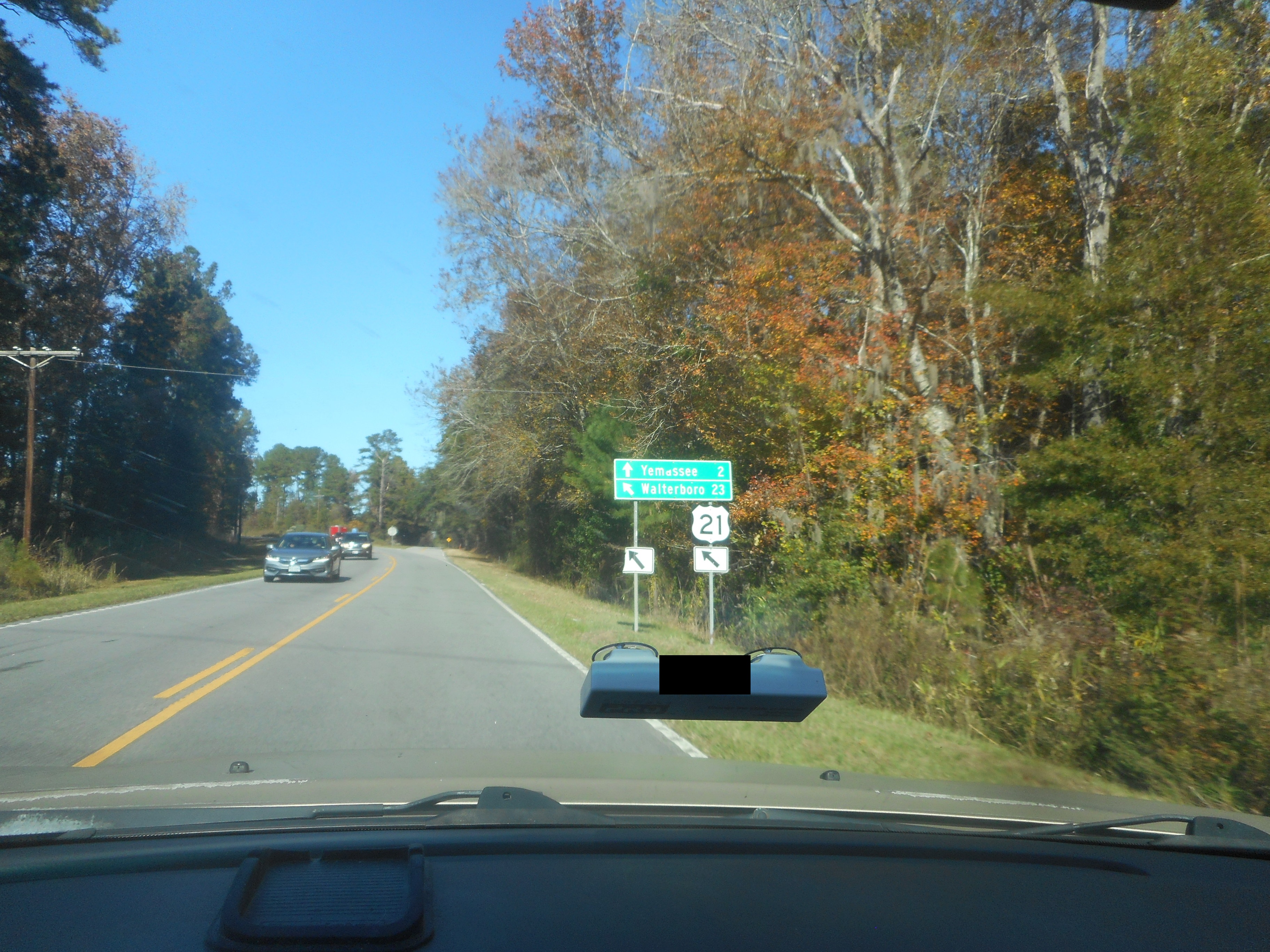
English: Sign along northbound US Alternate Route 17 as well as U.S. Route 21 telling motorists that they're approaching an intersection that will take them in two different directions, and the US Routes will curve off to the left. The intersection being approached is Castle Hill Road (State Road S-7-3), and the top sign says that road will lead to "downtown" Yemassee two miles away, while at least one of the main routes leads to Walterboro 23 miles from here. The US 17 route shield is missing from this sign tree, and even when it wasn't, the "Alternate" plaque was missing from it as well. |
| Date | |
| Source | Own work |
| Author | DanTD |
Licensing edit
I, the copyright holder of this work, hereby publish it under the following license:
This file is licensed under the Creative Commons Attribution-Share Alike 4.0 International license.
- You are free:
- to share – to copy, distribute and transmit the work
- to remix – to adapt the work
- Under the following conditions:
- attribution – You must give appropriate credit, provide a link to the license, and indicate if changes were made. You may do so in any reasonable manner, but not in any way that suggests the licensor endorses you or your use.
- share alike – If you remix, transform, or build upon the material, you must distribute your contributions under the same or compatible license as the original.
File history
Click on a date/time to view the file as it appeared at that time.
| Date/Time | Thumbnail | Dimensions | User | Comment | |
|---|---|---|---|---|---|
| current | 18:22, 30 December 2021 | | 3,648 × 2,736 (2.45 MB) | DanTD (talk | contribs) | Uploaded own work with UploadWizard |
You cannot overwrite this file.
File usage on Commons
There are no pages that use this file.