File:NISEKO RANGE 1.JPG

Size of this preview: 800 × 534 pixels. Other resolutions: 320 × 214 pixels | 640 × 427 pixels | 1,024 × 684 pixels | 1,280 × 855 pixels | 2,816 × 1,880 pixels.
Original file (2,816 × 1,880 pixels, file size: 2.41 MB, MIME type: image/jpeg)
Captions
Captions
Add a one-line explanation of what this file represents
Summary
edit
| Description |
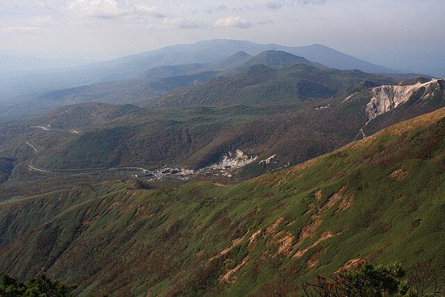
English: Looking the Southwest from Niseko Annupuri. |
| Date | |
| Source | Own work |
| Author | Highten31 |
| Camera location | | View this and other nearby images on: OpenStreetMap |
|---|
Licensing
edit
Highten31, the copyright holder of this work, hereby publishes it under the following license:
This file is licensed under the Creative Commons Attribution-Share Alike 3.0 Unported license.
Attribution: Highten31
- You are free:
- to share – to copy, distribute and transmit the work
- to remix – to adapt the work
- Under the following conditions:
- attribution – You must give appropriate credit, provide a link to the license, and indicate if changes were made. You may do so in any reasonable manner, but not in any way that suggests the licensor endorses you or your use.
- share alike – If you remix, transform, or build upon the material, you must distribute your contributions under the same or compatible license as the original.
File history
Click on a date/time to view the file as it appeared at that time.
| Date/Time | Thumbnail | Dimensions | User | Comment | |
|---|---|---|---|---|---|
| current | 22:31, 29 June 2012 | | 2,816 × 1,880 (2.41 MB) | Highten31 (talk | contribs) | 高解像度版 |
| 03:32, 11 June 2012 |  | 700 × 467 (274 KB) | Highten31 (talk | contribs) |
You cannot overwrite this file.
File usage on Commons
The following page uses this file:
File usage on other wikis
The following other wikis use this file:
- Usage on arz.wikipedia.org
- Usage on fr.wikipedia.org
- Usage on ja.wikipedia.org
- Usage on lld.wikipedia.org
- Usage on www.wikidata.org
- Usage on zh.wikipedia.org