File:NL Kwartair.svg

Size of this PNG preview of this SVG file: 516 × 599 pixels. Other resolutions: 207 × 240 pixels | 413 × 480 pixels | 661 × 768 pixels | 881 × 1,024 pixels | 1,763 × 2,048 pixels | 649 × 754 pixels.
Original file (SVG file, nominally 649 × 754 pixels, file size: 14.61 MB)
Captions
Captions
Add a one-line explanation of what this file represents
Summary
edit
| Description |
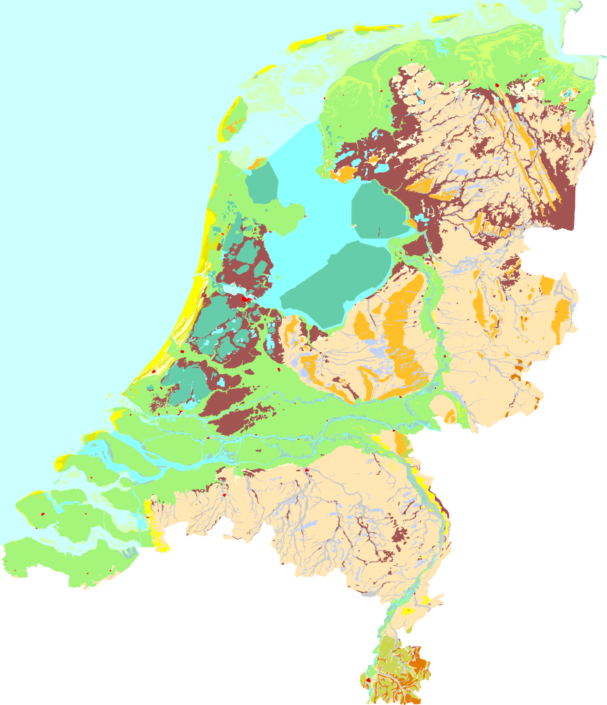
Nederlands: Grondsoorten en landschappen 2000 Nederland volgens Vos en de Vries 2013, in stedelijk gebied van 2000 zijn de landschappen van 1850 getoond |
| Date | |
| Source | Vos, P. & S. de Vries 2013: 2e generatie palaeogeografische kaarten van Nederland (versie 2.0). Deltares, Utrecht. Op 19/02/2020 gedownload van https://www.cultureelerfgoed.nl/publicaties/publicaties/2019/01/01/paleogeografische-kaarten-zip |
| Author | Vos, P. & S. de Vries |
Licensing
edit
I, the copyright holder of this work, hereby publish it under the following license:
This file is licensed under the Creative Commons Attribution-Share Alike 4.0 International license.
- You are free:
- to share – to copy, distribute and transmit the work
- to remix – to adapt the work
- Under the following conditions:
- attribution – You must give appropriate credit, provide a link to the license, and indicate if changes were made. You may do so in any reasonable manner, but not in any way that suggests the licensor endorses you or your use.
- share alike – If you remix, transform, or build upon the material, you must distribute your contributions under the same or compatible license as the original.
File history
Click on a date/time to view the file as it appeared at that time.
| Date/Time | Thumbnail | Dimensions | User | Comment | |
|---|---|---|---|---|---|
| current | 21:11, 7 August 2020 | | 649 × 754 (14.61 MB) | Hans Erren (talk | contribs) | Uploaded own work with UploadWizard |
You cannot overwrite this file.
File usage on Commons
The following 2 pages use this file:
File usage on other wikis
The following other wikis use this file:
- Usage on nl.wikipedia.org
- Usage on www.wikidata.org