File:NOAA Disaster warning map 20230603.png
No higher resolution available.
NOAA_Disaster_warning_map_20230603.png (800 × 500 pixels, file size: 54 KB, MIME type: image/png)
Captions
Captions
Add a one-line explanation of what this file represents
Summary
edit
| Description |
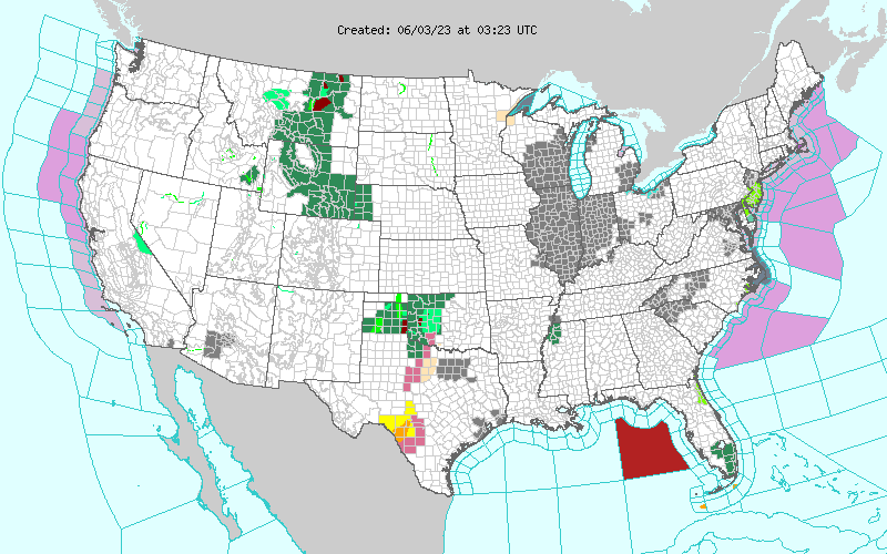
English: Natural disaster warning map drawn by NOAA (48 states of the contiguous United States) |
| Date | |
| Source | https://forecast.weather.gov/wwamap/png/US.png |
| Author | NOAA |
Licensing
edit
This image is in the public domain because it contains materials that originally came from the U.S. National Oceanic and Atmospheric Administration, taken or made as part of an employee's official duties.
|
File history
Click on a date/time to view the file as it appeared at that time.
| Date/Time | Thumbnail | Dimensions | User | Comment | |
|---|---|---|---|---|---|
| current | 03:33, 3 June 2023 | | 800 × 500 (54 KB) | Fumikas Sagisavas (talk | contribs) | Uploaded a work by NOAA from https://forecast.weather.gov/wwamap/png/US.png with UploadWizard |
You cannot overwrite this file.
File usage on Commons
There are no pages that use this file.