File:NO LXXV 33 Forchtenberg Hohenlohekreis Württembergische Landesvermessung (1831) Landesarchiv BW EL 68 VI Nr 6143 Bild 1 (2-5309476-1).jpg

Size of this preview: 588 × 599 pixels. Other resolutions: 236 × 240 pixels | 471 × 480 pixels | 754 × 768 pixels | 1,005 × 1,024 pixels | 2,010 × 2,048 pixels | 3,416 × 3,480 pixels.
Original file (3,416 × 3,480 pixels, file size: 4.11 MB, MIME type: image/jpeg)
Captions
Captions
Add a one-line explanation of what this file represents
Summary edit
_Landesarchiv_BW_EL_68_VI_Nr_6143_Bild_1_(2-5309476-1).jpg&action=edit§ion=1)
Index der Kartensignaturen:
- Alt-Signatur: Blatt N.O. LXXV. 33 NO 7533 1833 wü; NO07533; ID PE (LGL FK-Archiv): 183
- Rahmengitter: NO07533 ist gleichzeitig Sortierschlüssel für Category:Württembergische Flurkarte 1:2.500
- Teilbereich: Nr. in File:Topographischer Atlas des Koenigreichs Württemberg - Blatt .jpg
- Koordinaten: ca. Kartenmitte
| Description |
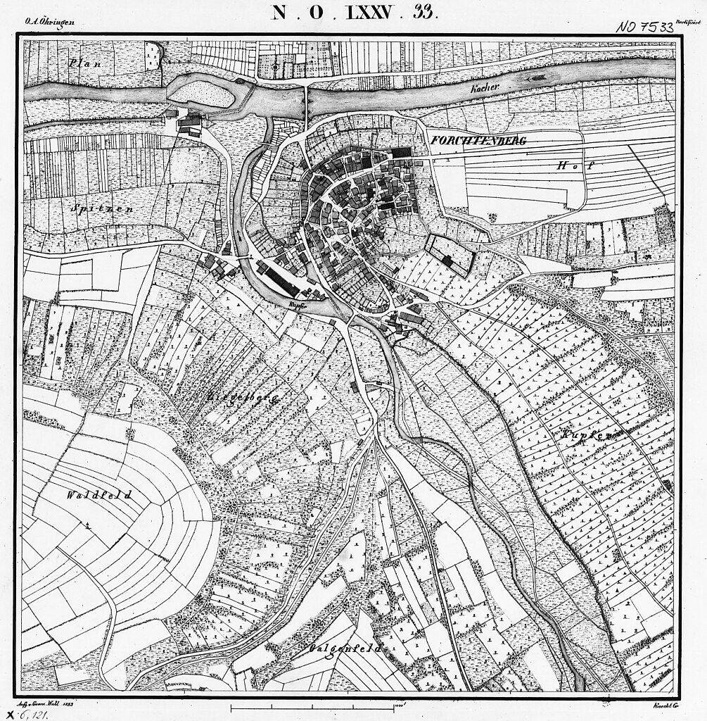
Deutsch: Forchtenberg Hohenlohekreis auf der Urflurkarte von 1832, Blatt NO LXXV 33 |
| Date | |
| Source | Landesarchiv BW Permalink: http://www.landesarchiv-bw.de/plink/?f=2-5309476-1 |
| Author | Statistisch-Topographisches Bureau des Königreichs Württemberg, Geom. Wall |
Licensing edit
_Landesarchiv_BW_EL_68_VI_Nr_6143_Bild_1_(2-5309476-1).jpg&action=edit§ion=2)
|
This work is in the public domain in its country of origin and other countries and areas where the copyright term is the author's life plus 80 years or fewer. This work is in the public domain in the United States because it was published (or registered with the U.S. Copyright Office) before January 1, 1929. | |
| This file has been identified as being free of known restrictions under copyright law, including all related and neighboring rights. | |
| Object location | | View this and other nearby images on: OpenStreetMap |
|---|
_Landesarchiv_BW_EL_68_VI_Nr_6143_Bild_1_(2-5309476-1).jpg¶ms=049.285700_N_0009.560800_E_globe:Earth_class:object_type:object_region:DE-BW_&language=en)
File history
Click on a date/time to view the file as it appeared at that time.
| Date/Time | Thumbnail | Dimensions | User | Comment | |
|---|---|---|---|---|---|
| current | 19:48, 4 October 2014 | | 3,416 × 3,480 (4.11 MB) | Krämer.Rolf (talk | contribs) | User created page with UploadWizard |
You cannot overwrite this file.
File usage on Commons
The following 4 pages use this file:
- User:Rosenzweig/NewFiles/2014 October 1-10
- User:TRXX-TRXX/NewFiles/2014 October 1-10
- File:Kataster 1833 von Forchtenberg.jpg (file redirect)
- File:NO LXXV 33 Forchtenberg Hohenlohekreis Württembergische Landesvermessung (1831) Landesarchiv BW EL 68 VI Nr 6143 Bild 1 (2-5309476-1)..jpg (file redirect)
_Landesarchiv_BW_EL_68_VI_Nr_6143_Bild_1_(2-5309476-1)..jpg&redirect=no)
File usage on other wikis
The following other wikis use this file:
- Usage on de.wikipedia.org
_Landesarchiv_BW_EL_68_VI_Nr_6143_Bild_1_(2-5309476-1).jpg&oldid=810836122)