File:NPS cape-cod-great-island-map.gif

Size of this preview: 446 × 599 pixels. Other resolutions: 179 × 240 pixels | 600 × 806 pixels.
Original file (600 × 806 pixels, file size: 121 KB, MIME type: image/gif, 0.1 s)
Captions
Captions
Add a one-line explanation of what this file represents
Summary edit
| Description |
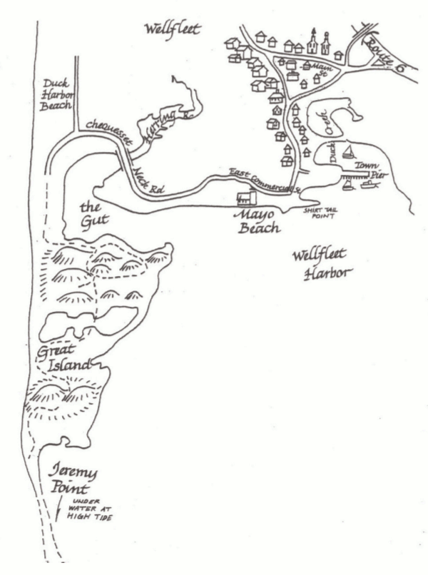
English: This Great Island map jumps across the cape to show part of the west side of the park, west of Wellfleet and Wellfleet Bay. You’ll see the trail to Jeremy Point from the Duck Harbor Beach area. |
| Date | |
| Source | U.S. National Park Service (http://npmaps.com/wp-content/uploads/cape-cod-great-island-map.gif) |
| Author | U.S. National Park Service, restoration/cleanup by Matt Holly |
Licensing edit
| This image or media file contains material based on a work of a National Park Service employee, created as part of that person's official duties. As a work of the U.S. federal government, such work is in the public domain in the United States. See the NPS website and NPS copyright policy for more information. |
File history
Click on a date/time to view the file as it appeared at that time.
| Date/Time | Thumbnail | Dimensions | User | Comment | |
|---|---|---|---|---|---|
| current | 19:54, 16 May 2017 | | 600 × 806 (121 KB) | RKBot (talk | contribs) | =={{int:filedesc}}== {{Information |description= {{en|1=This Great Island map jumps across the cape to show part of the west side of the park, west of Wellfleet and Wellfleet Bay. You’ll see the trail to Jeremy Point from the Duck Harbor Beach area.}... |
You cannot overwrite this file.
File usage on Commons
The following page uses this file: