File:NPS devils-tower-map.jpg
Size of this preview: 686 × 600 pixels. Other resolutions: 275 × 240 pixels | 549 × 480 pixels | 878 × 768 pixels | 1,195 × 1,045 pixels.
Original file (1,195 × 1,045 pixels, file size: 176 KB, MIME type: image/jpeg)
Captions
Captions
Add a one-line explanation of what this file represents
Summary edit
| Description |
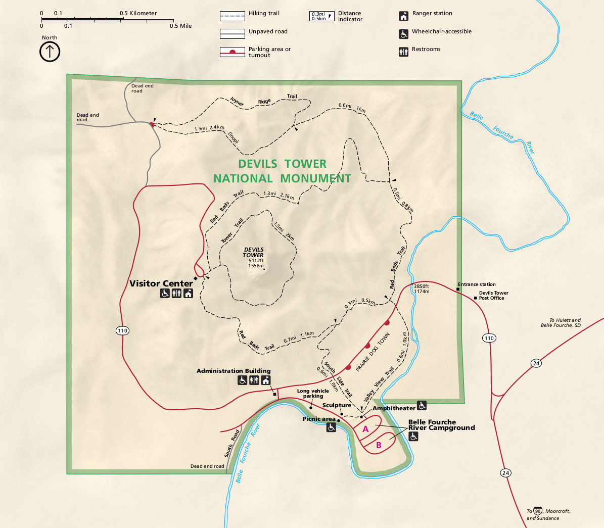
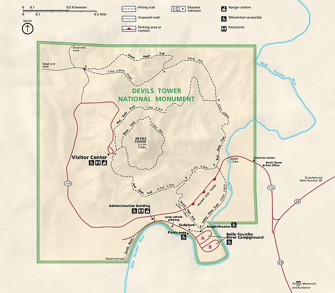
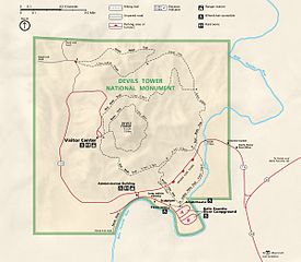
English: Devils Tower National Monument map, showing the roads, trails, visitor center, campground, and picnic areas. |
| Date | |
| Source | U.S. National Park Service (http://npmaps.com/wp-content/uploads/devils-tower-map.jpg) |
| Author | U.S. National Park Service, restoration/cleanup by Matt Holly |
| Other versions |
 |
Licensing edit
| This image or media file contains material based on a work of a National Park Service employee, created as part of that person's official duties. As a work of the U.S. federal government, such work is in the public domain in the United States. See the NPS website and NPS copyright policy for more information. |
File history
Click on a date/time to view the file as it appeared at that time.
| Date/Time | Thumbnail | Dimensions | User | Comment | |
|---|---|---|---|---|---|
| current | 21:06, 16 May 2017 | | 1,195 × 1,045 (176 KB) | RKBot (talk | contribs) | =={{int:filedesc}}== {{Information |description= {{en|1=Devils Tower National Monument map, showing the roads, trails, visitor center, campground, and picnic areas.}} |date= 2016-02-01 |source= U.S. National Park Service (http://npmaps.com/wp-content/u... |
You cannot overwrite this file.
File usage on Commons
The following 2 pages use this file:
File usage on other wikis
The following other wikis use this file:
- Usage on de.wikipedia.org