File:NPS great-sand-dunes-geologic-map.jpg

Size of this preview: 511 × 599 pixels. Other resolutions: 205 × 240 pixels | 409 × 480 pixels | 655 × 768 pixels | 873 × 1,024 pixels | 1,747 × 2,048 pixels | 2,596 × 3,044 pixels.
Original file (2,596 × 3,044 pixels, file size: 1.21 MB, MIME type: image/jpeg)
Captions
Captions
Add a one-line explanation of what this file represents
Summary edit
| Description |
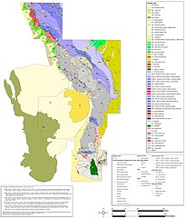
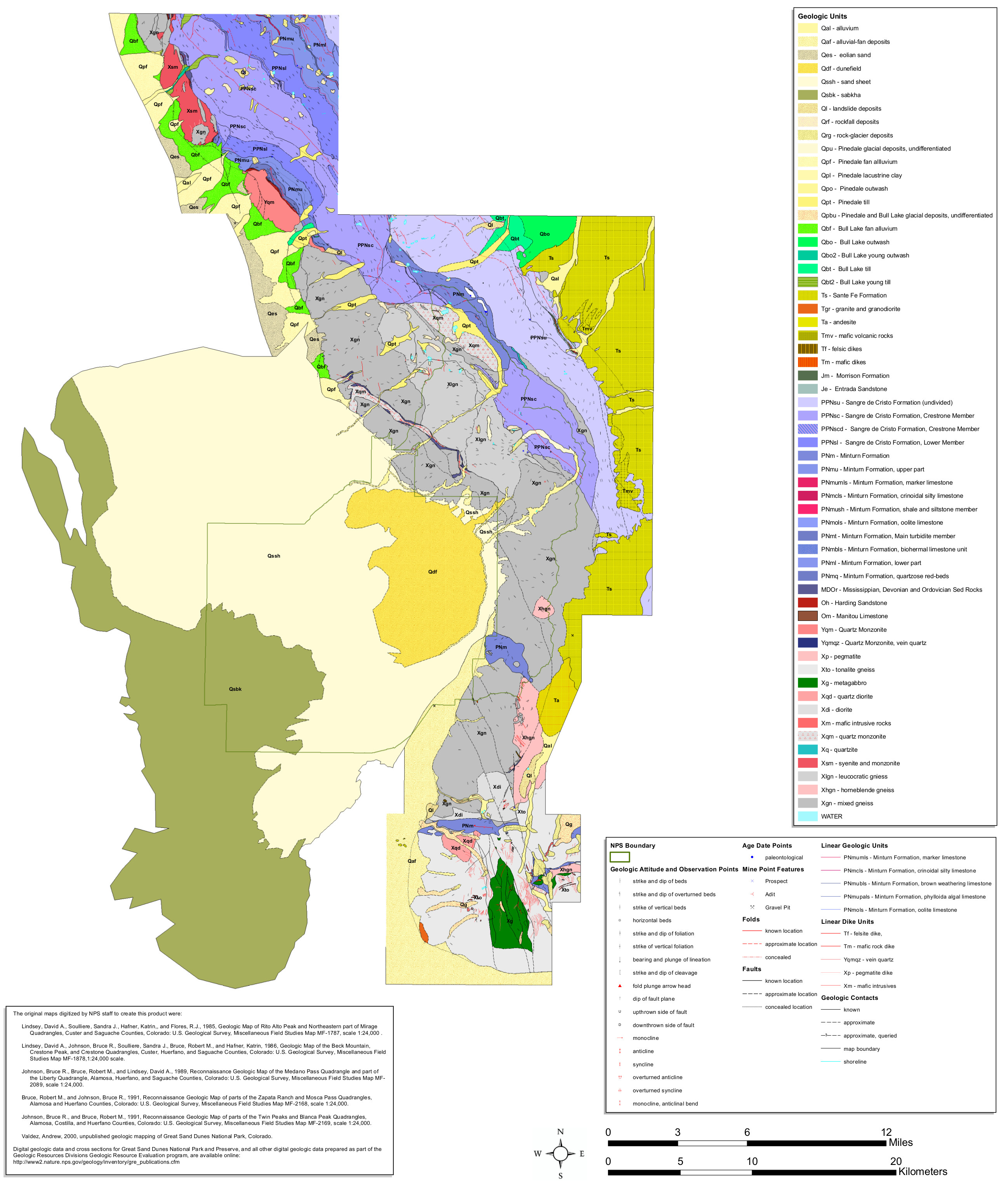
English: The Great Sand Dunes geologic map includes the dune field as well as the surrounding mountains in the Sangre de Cristo Mountains, leading to some huge geological variety! |
| Date | |
| Source | U.S. National Park Service (http://npmaps.com/wp-content/uploads/great-sand-dunes-geologic-map.jpg) |
| Author | U.S. National Park Service, restoration/cleanup by Matt Holly |
Licensing edit
| This image or media file contains material based on a work of a National Park Service employee, created as part of that person's official duties. As a work of the U.S. federal government, such work is in the public domain in the United States. See the NPS website and NPS copyright policy for more information. |
File history
Click on a date/time to view the file as it appeared at that time.
| Date/Time | Thumbnail | Dimensions | User | Comment | |
|---|---|---|---|---|---|
| current | 23:31, 16 May 2017 | | 2,596 × 3,044 (1.21 MB) | RKBot (talk | contribs) | =={{int:filedesc}}== {{Information |description= {{en|1=The Great Sand Dunes geologic map includes the dune field as well as the surrounding mountains in the Sangre de Cristo Mountains, leading to some huge geological variety!}} |date= 2017-01-09 |sour... |
You cannot overwrite this file.
File usage on Commons
The following page uses this file: