File:NTIR Staff walks a retracement trail at Mantle Rock Preserve in Livingston County, Kentucky (53e5ee8e-1113-4427-9402-50b3157e209b).JPG

Size of this preview: 800 × 500 pixels. Other resolutions: 320 × 200 pixels | 640 × 400 pixels | 1,024 × 640 pixels | 1,280 × 800 pixels | 2,560 × 1,600 pixels | 3,600 × 2,250 pixels.
Original file (3,600 × 2,250 pixels, file size: 3.66 MB, MIME type: image/jpeg)
Captions
Captions
Add a one-line explanation of what this file represents
Summary
edit.JPG&action=edit§ion=1)
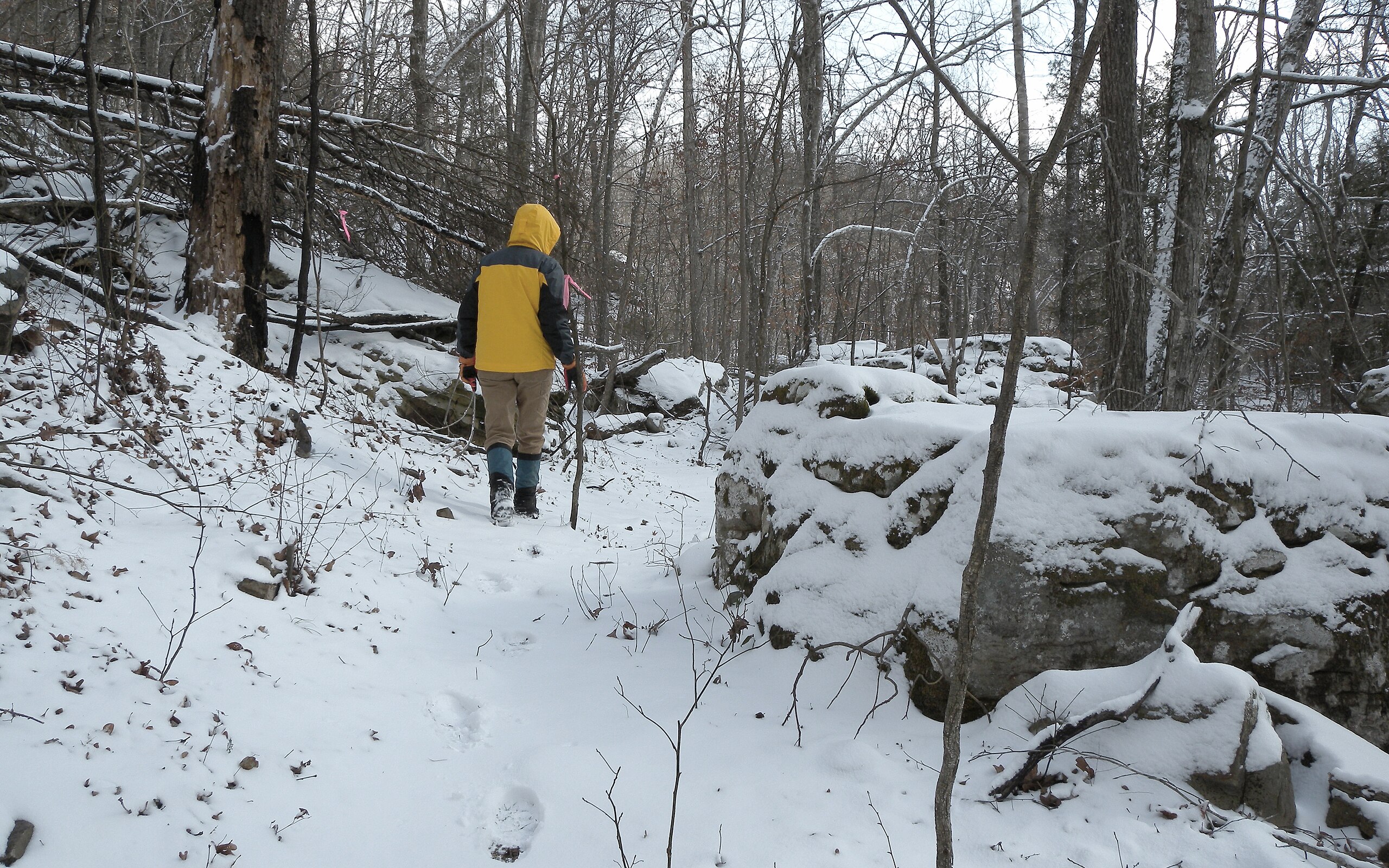
| English: NTIR Staff walks a retracement trail at Mantle Rock Preserve in Livingston County, Kentucky | ||||
|---|---|---|---|---|
| Photographer |
English: National Trails Office (US National Park Service) |
|||
| Title |
English: NTIR Staff walks a retracement trail at Mantle Rock Preserve in Livingston County, Kentucky |
|||
| Publisher |
English: U.S. National Park Service |
|||
| Description |
English: NTIR Staff walks a retracement trail at Mantle Rock Preserve in Livingston County, Kentucky NTIR Staff walks a retracement trail at Mantle Rock Preserve in Livingston County, Kentucky; https://www.nps.gov/places/mantle-rock.htm
|
|||
| Depicted place |
English: KY ; Livingston County ; Smithland ; Mantle Rock Nature Preserve; Latitude: 37.3543366667, Longitude: -88.43384; Trail of Tears National Historic Trail |
|||
| Date | Taken on 7 February 2010 | |||
| Accession number | ||||
| Source |
English: NPGallery |
|||
| Permission (Reusing this file) |
|
|||
| Contacts | English: Organization: US National Park Service Address: PO Box 728, Santa Fe, New Mexico 87504, Phone:(505) 988-6098 Email: ntir_information@NPS.gov |
|||
| NPS Unit Code | TRTE | |||
File history
Click on a date/time to view the file as it appeared at that time.
| Date/Time | Thumbnail | Dimensions | User | Comment | |
|---|---|---|---|---|---|
| current | 15:26, 22 June 2023 | | 3,600 × 2,250 (3.66 MB) | BMacZeroBot (talk | contribs) | Batch upload (Commons:Batch uploading/NPGallery) |
You cannot overwrite this file.
File usage on Commons
The following page uses this file:
.JPG)
.JPG&oldid=834888805)