File:Nagasaki-geo-stub.png
Size of this preview: 476 × 599 pixels. Other resolutions: 191 × 240 pixels | 519 × 653 pixels.
Original file (519 × 653 pixels, file size: 23 KB, MIME type: image/png)
Captions
Captions
Add a one-line explanation of what this file represents

|
This flag map image could be re-created using vector graphics as an SVG file. This has several advantages; see Commons:Media for cleanup for more information. If an SVG form of this image is available, please upload it and afterwards replace this template with
{{vector version available|new image name}}.
It is recommended to name the SVG file “Nagasaki-geo-stub.svg”—then the template Vector version available (or Vva) does not need the new image name parameter. |
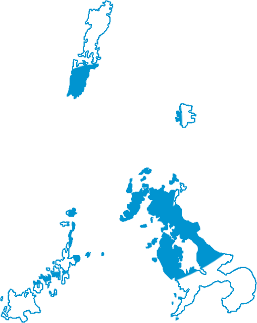
| Description | Flag/map image for use in stub templates. | ||
| Date | |||
| Source | From Image:Shadow picture of Nagasaki prefecture.png and Image:Flag of Nagasaki Prefecture.svg, both of them public domain. | ||
| Author | Kzaral | ||
| Permission (Reusing this file) |
|
File history
Click on a date/time to view the file as it appeared at that time.
| Date/Time | Thumbnail | Dimensions | User | Comment | |
|---|---|---|---|---|---|
| current | 02:55, 14 August 2020 | | 519 × 653 (23 KB) | AichiWikiFixer (talk | contribs) | Expanded islands, Expanded canvas, Improved boundary |
| 12:55, 11 July 2008 |  | 501 × 329 (20 KB) | Kzaral~commonswiki (talk | contribs) | Thinner border | |
| 11:25, 11 July 2008 |  | 501 × 329 (19 KB) | Kzaral~commonswiki (talk | contribs) | {{Information |Description=Flag/map image for use in stub templates. |Source=From Image:Shadow picture of Nagasaki prefecture.png and Image:Flag of Nagasaki Prefecture.svg, both of them public domain. |Date=July 11, 2008 |Author=[[:wikipedia:Use |
You cannot overwrite this file.
File usage on Commons
The following 2 pages use this file:
File usage on other wikis
The following other wikis use this file:
- Usage on en.wikipedia.org
- Tsushima Subprefecture
- Shimabara, Nagasaki
- Isahaya, Nagasaki
- Fukue, Nagasaki
- Matsuura, Nagasaki
- Koyagi, Nagasaki
- Iōjima, Nagasaki
- Takashima, Nagasaki (Nishisonogi)
- Nomozaki, Nagasaki
- Sanwa, Nagasaki
- Tarami, Nagasaki
- Nagayo, Nagasaki
- Togitsu, Nagasaki
- Kinkai, Nagasaki
- Seihi, Nagasaki
- Saikai, Nagasaki
- Ōshima, Nagasaki (Nishisonogi)
- Sakito, Nagasaki
- Ōseto, Nagasaki
- Sotome, Nagasaki
- Nishisonogi District, Nagasaki
- Higashisonogi, Nagasaki
- Kawatana, Nagasaki
- Hasami, Nagasaki
- Higashisonogi District, Nagasaki
- Moriyama, Nagasaki
- Iimori, Nagasaki
- Takaki, Nagasaki
- Konagai, Nagasaki
- Ariake, Nagasaki
- Kunimi, Nagasaki
- Mizuho, Nagasaki
- Azuma, Nagasaki
- Aino, Nagasaki
- Chijiwa, Nagasaki
- Obama, Nagasaki
- Minamikushiyama, Nagasaki
- Kazusa, Nagasaki
- Kuchinotsu, Nagasaki
- Minamiarima, Nagasaki
- Nishiarie, Nagasaki
- Arie, Nagasaki
- Futsu
- Fukae, Nagasaki
- Minamitakaki District, Nagasaki
- Ōshima, Nagasaki (Kitamatsuura)
- Uku, Nagasaki
- Fukushima, Nagasaki
- Takashima, Nagasaki (Kitamatsuura)
- Emukae, Nagasaki
View more global usage of this file.