File:Nakazato-kuki-saitama-ckt-86-2 c5b 28.jpg

Size of this preview: 320 × 598 pixels. Other resolutions: 256 × 480 pixels | 410 × 768 pixels | 547 × 1,024 pixels | 1,361 × 2,545 pixels.
Original file (1,361 × 2,545 pixels, file size: 991 KB, MIME type: image/jpeg)
Captions
Captions
Add a one-line explanation of what this file represents
Summary edit
| Description |
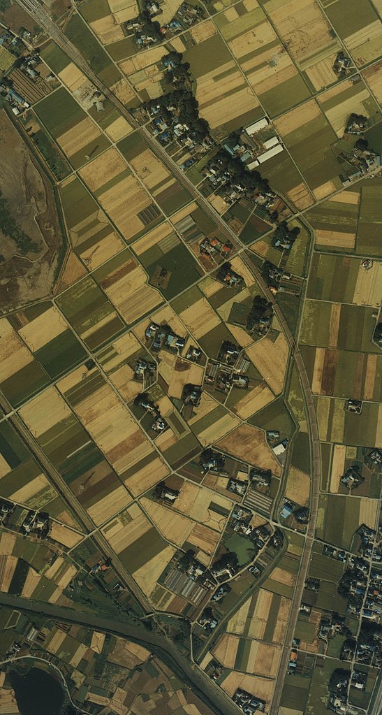
日本語: 埼玉県北葛飾郡栗橋町大字中里(当時)付近の航空写真。 |
| Date | |
| Source | 国土画像情報(カラー空中写真) (整理番号:CKT-86-2、 撮影年度:昭和61年度、 地区名:熊谷、 撮影縮尺:1/10000、 地形図番号:NJ-54-30-8、 5万分の1地形図名:鴻巣、 撮影コース:C5B、 写真番号:28 、 緯度:36°6′27″、 経度:139°42′58″)http://w3land.mlit.go.jp/cgi-bin/WebGIS2/WC_AirPhoto.cgi?IT=p&DT=n&PFN=CKT-86-2&PCN=C5B&IDX=28 より作成。 |
| Author | 国土地理院 |
Licensing edit

|
The copyright holder of this file, the Ministry of Land, Infrastructure, Transport and Tourism of Japan, allows anyone to use it for any purpose, provided that the copyright holder is properly attributed. Redistribution, derivative work, commercial use, and all other use is permitted. |
Attribution:
Copyright © National Land Image Information (Color Aerial Photographs), Ministry of Land, Infrastructure, Transport and Tourism
|
 |
This image is copyrighted by the Ministry of Land, Infrastructure, Transport and Tourism of Japan. For terms of use, see the stipulation to use of National Land Information (in Japanese) and message from MLIT (in Japanese and English). When you display this image on an article, include the following phrase in the description: "Made based on National Land Image Information (Color Aerial Photographs), Ministry of Land, Infrastructure, Transport and Tourism".
|
File history
Click on a date/time to view the file as it appeared at that time.
| Date/Time | Thumbnail | Dimensions | User | Comment | |
|---|---|---|---|---|---|
| current | 20:07, 16 February 2011 | | 1,361 × 2,545 (991 KB) | Himetv (talk | contribs) | {{Information |Description= 東京都世田谷区玉川田園調布付近の航空写真。 |Source= 国土画像情報(カラー空中写真) (整理番号:CKT-86-2、 撮影年度:昭和61年度、 地区名:熊谷、 撮影縮尺:1/10000� |
You cannot overwrite this file.
File usage on Commons
There are no pages that use this file.
File usage on other wikis
The following other wikis use this file:
- Usage on ja.wikipedia.org